MyTopo
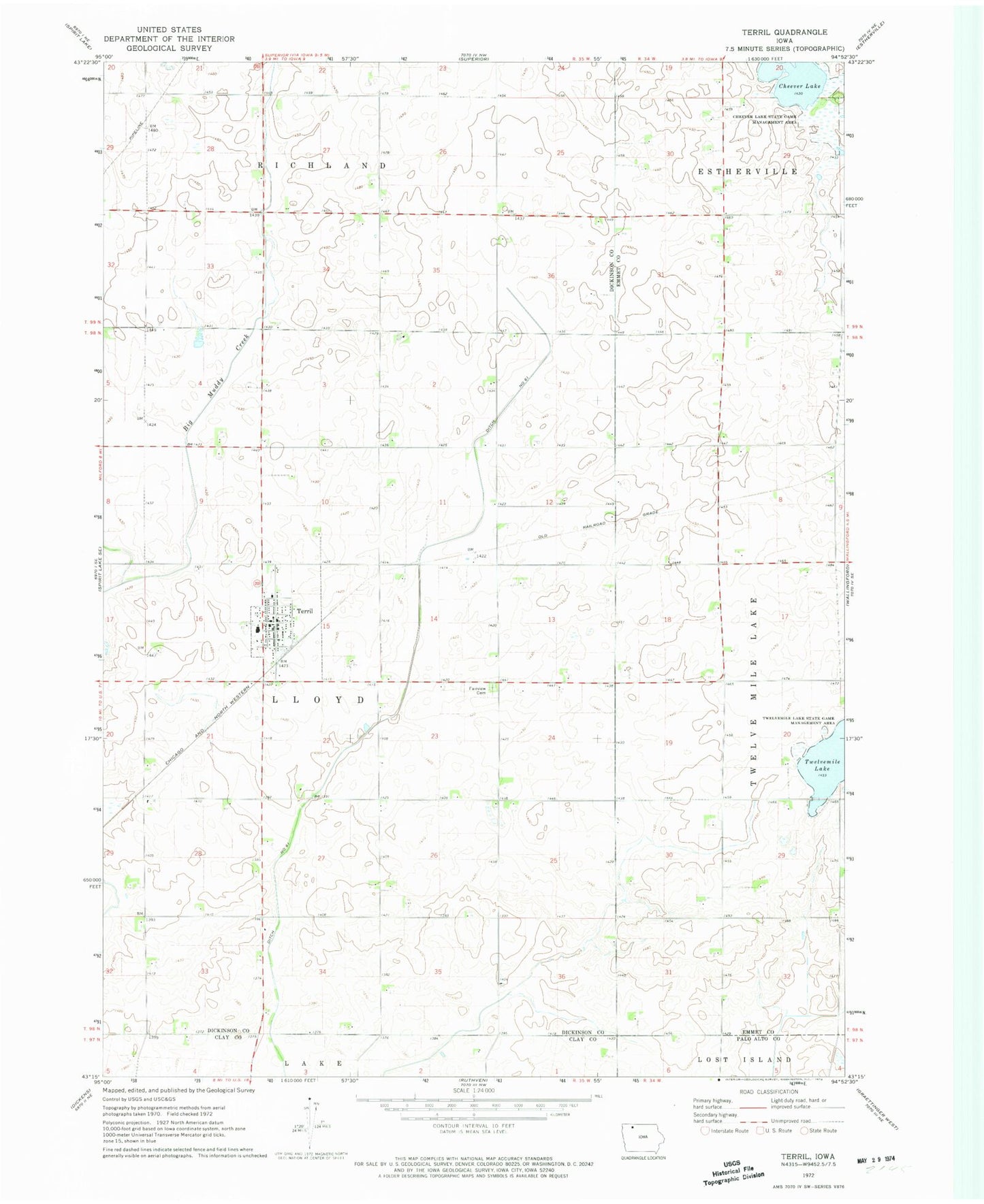
Classic USGS Terril Iowa 7.5'x7.5' Topo Map
Couldn't load pickup availability
Historical USGS topographic quad map of Terril in the state of Iowa. Map scale may vary for some years, but is generally around 1:24,000. Print size is approximately 24" x 27"
This quadrangle is in the following counties: Clay, Dickinson, Emmet, Palo Alto.
The map contains contour lines, roads, rivers, towns, and lakes. Printed on high-quality waterproof paper with UV fade-resistant inks, and shipped rolled.
Contains the following named places: Blamar Farms, Cheever Lake, Cheever Lake State Game Mgt Area, City of Terril, Ditch Number 61, Fairview Cemetery, Farmers Cooperative Elevator, Graettinger - Terril Elementary School, Immanuel Lutheran Church, Jackson Farms of Terril, Kelley Farms, Mart Farms, Powell Farm, S and L Farms, Terril, Terril Fire Department, Terril Post Office, Terril Public Library, Township of Lloyd, Twelvemile Lake, United Methodist Church, ZIP Code: 51364