MyTopo
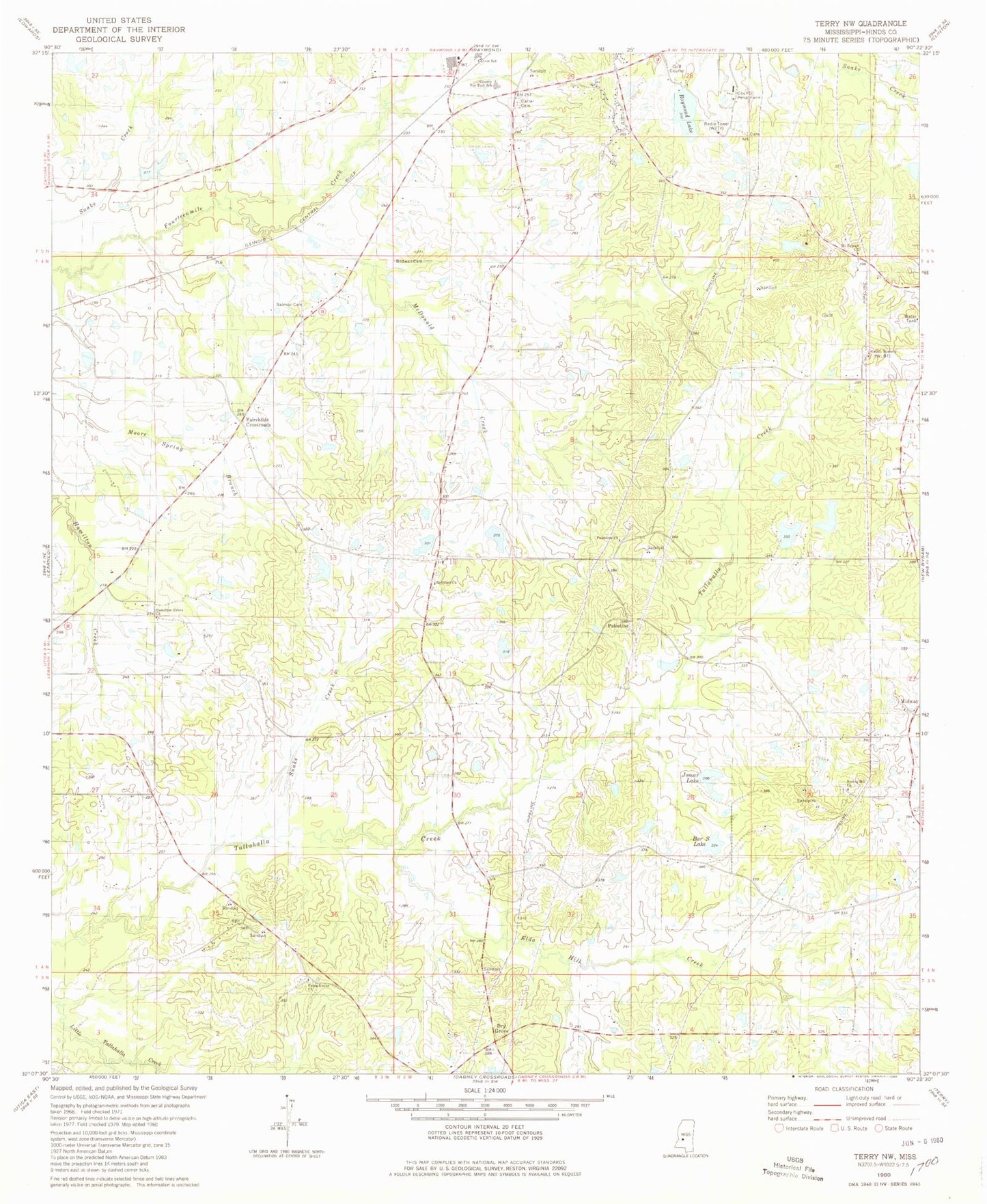
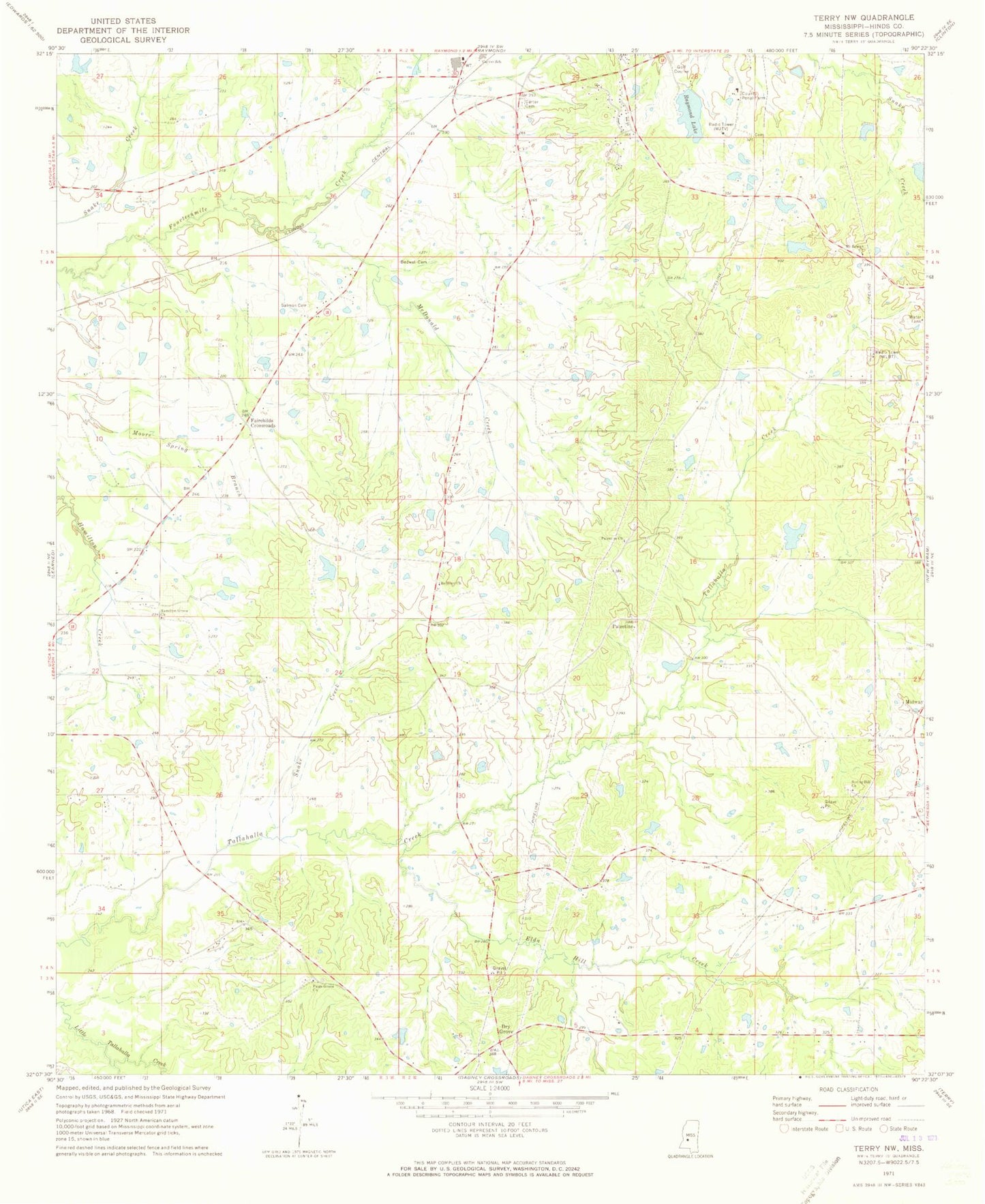
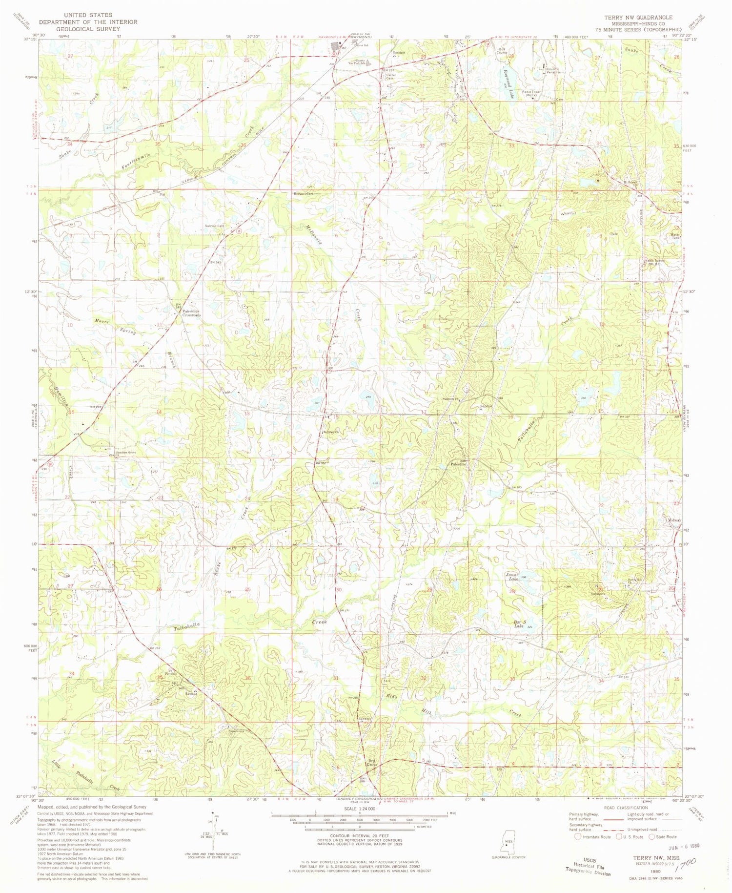
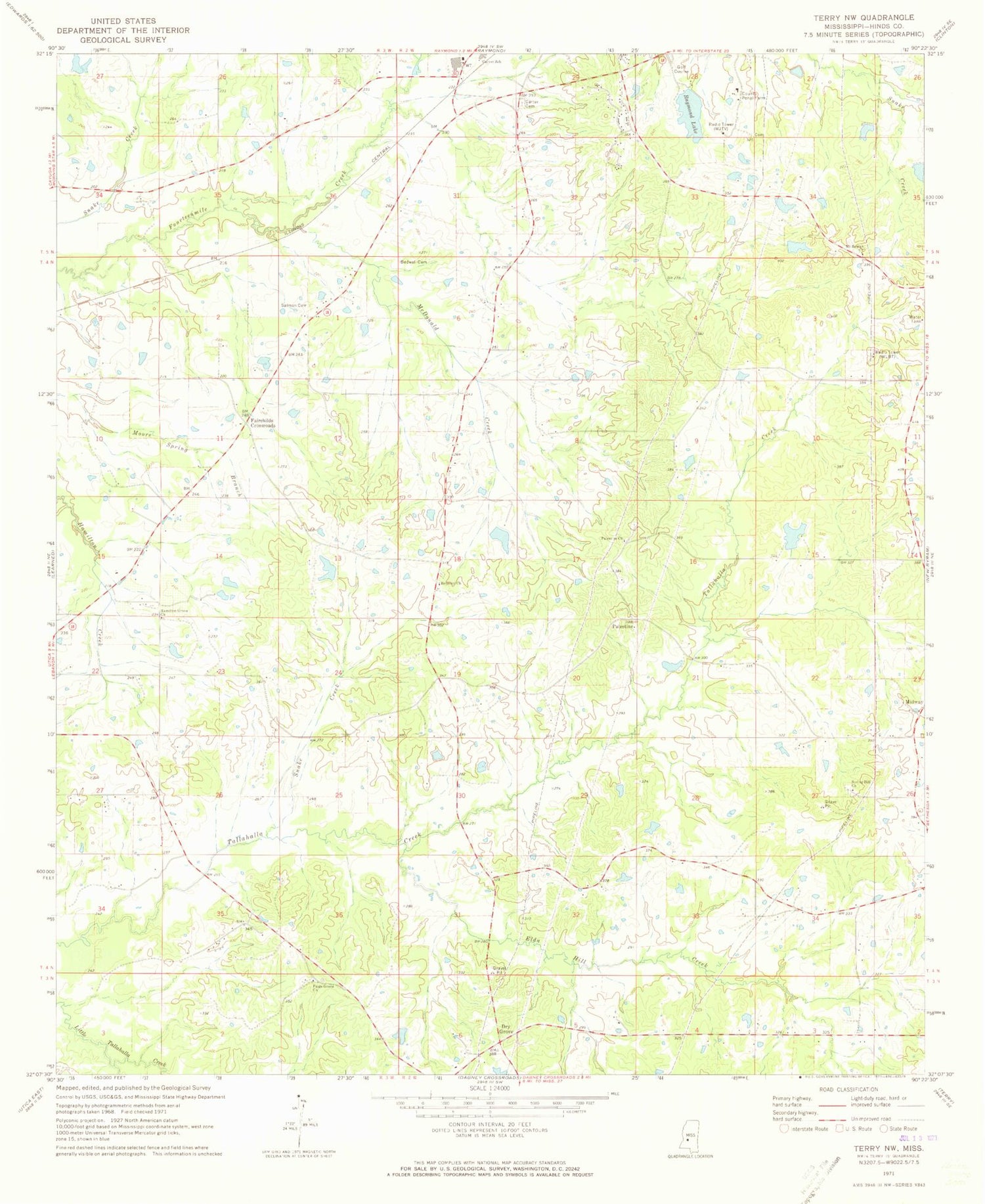
Classic USGS Terry NW Mississippi 7.5'x7.5' Topo Map
Couldn't load pickup availability
Historical USGS topographic quad map of Terry NW in the state of Mississippi. Typical map scale is 1:24,000, but may vary for certain years, if available. Print size: 24" x 27"
This quadrangle is in the following counties: Hinds.
The map contains contour lines, roads, rivers, towns, and lakes. Printed on high-quality waterproof paper with UV fade-resistant inks, and shipped rolled.
Contains the following named places: Anderson Creek, Bedwell Cemetery, Belmont Church, Carter Cemetery, Elda Hill Creek, Hamilton Grove Church, McDonald Creek, Mount Beulah Church, Paige Grove Church, Palestine Baptist Church, Raymond Lake, Salmon Cemetery, Snake Creek, Spring Hill Church, WKYV-FM (Vicksburg), WMSI-FM (Jackson), WXLY-FM (Jackson), WMAA-TV (Jackson), WLBT-TV (Jackson), WJTV-TV (Jackson), Rice Lake Dam, Doctor David Holmes Dam, Holmes Lake Dam, Wilson Pond Dam, Newmans Lake Dam, Alexanders Lake Dam, Dehmer Pond Dam, John Crechelle Lake Dam, Raymond Lake Dam, Holiday Lake Dam, Bar S Lake, Elda Hill School (historical), Ford Hill School (historical), Hamilton Grove School (historical), Hinds County Penal Farm, Jomar Lake, Nomans Store (historical), Spring Hill School (historical), Thigpen School (historical), Yellow Hill Church (historical), Dry Grove, Fairchilds Crossroads, Midway, Palestine, Hinds County Vocational Technical School, Carver Elementary School, Supervisor District 5, Dogwood Acres Airport


