MyTopo
Classic USGS Terry Montana 7.5'x7.5' Topo Map
Couldn't load pickup availability
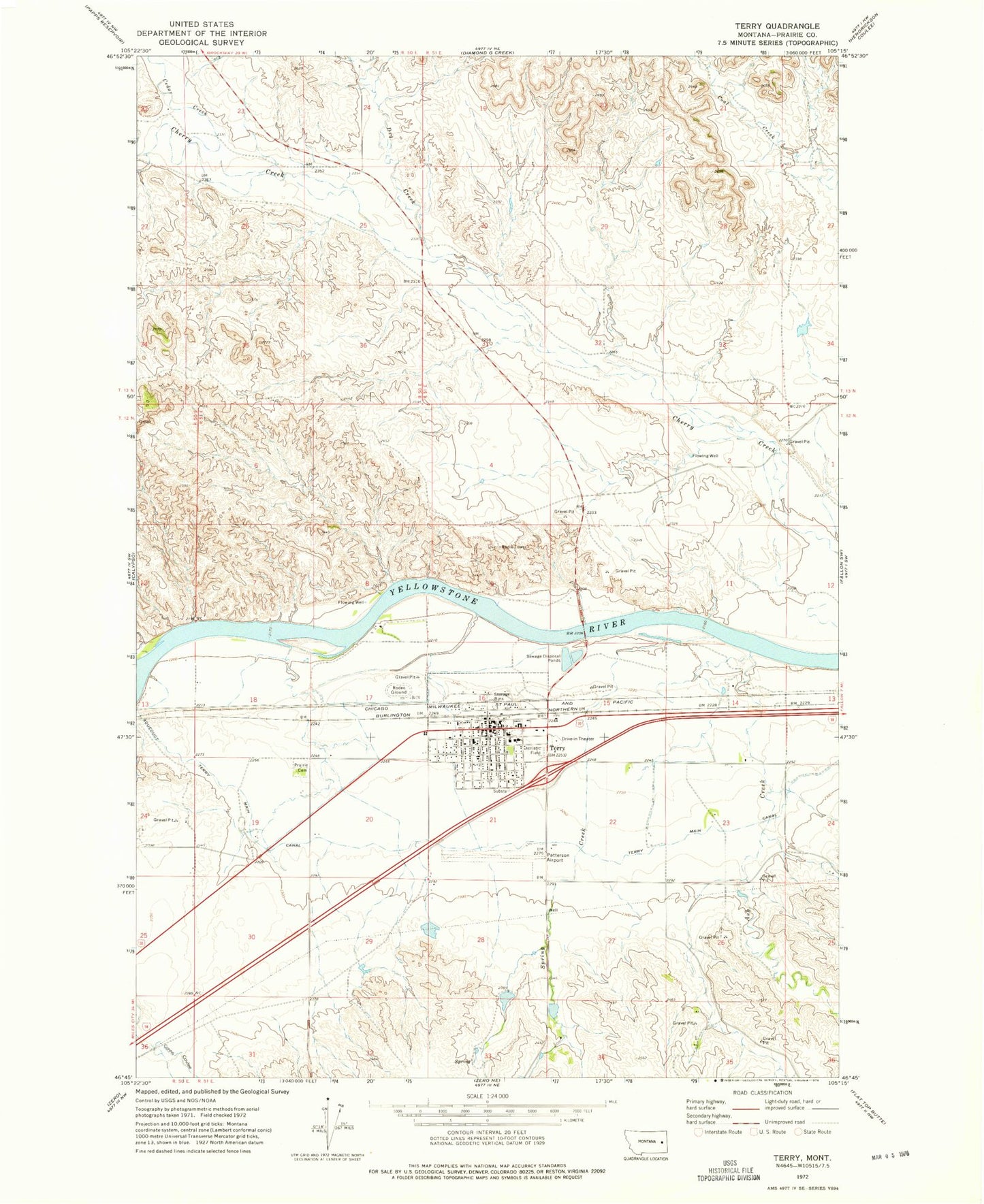
Historical USGS topographic quad map of Terry in the state of Montana. Map scale may vary for some years, but is generally around 1:24,000. Print size is approximately 24" x 27"
This quadrangle is in the following counties: Prairie.
The map contains contour lines, roads, rivers, towns, and lakes. Printed on high-quality waterproof paper with UV fade-resistant inks, and shipped rolled.
Contains the following named places: 09N51E33DACB01 Well, 12N50E24DDDA01 Well, 12N51E16ADBD01 Well, 12N51E16CADD01 Well, 12N51E16DBCA01 Well, 12N51E21AABB01 Well, 12N51E23BDCD01 Well, 12N51E28BBBD01 Well, 13N50E26BBAA01 Well, 13N51E31BCDD01 Well, 13N51E31BCDD02 Well, 13N51E31BDCB01 Well, Arndt Creek, Ash Creek, Bolin Elementary School, Cedar Creek, Diamond Campground, Dry Creek, Grandey Elementary School, Johnson School, McKeons Rapids, Murn Park, North Fork Spring Creek, Prairie Community Hospital, Prairie Community Nursing Home, Prairie County Ambulance, Prairie County Cemetery, Prairie County Clinic, Prairie County Courthouse, Prairie County Fairgrounds, Prairie County Fire Department, Prairie County Library, Prairie County Museum, Prairie County Sheriff's Office, Prairie Drive-In Theater, Prairie Grain and Seed Incorporated Elevator, Presbyterian Community Church, Sacred Heart Church, Saucer Number 3 Dam, Saucer Number 4 Dam, Spring Creek, Svenson Creek, Terry, Terry Airport, Terry High School, Terry Main Canal, Terry Police Department, Terry Post Office, Terry RV Oasis, Terry Sewage Ponds Dam, Town of Terry, Trinity Lutheran Church, Wesley Number 1 Dam, Wesley Number 2 Dam, Wesleyan Methodist Church, West Fork Spring Creek, Young School


