MyTopo
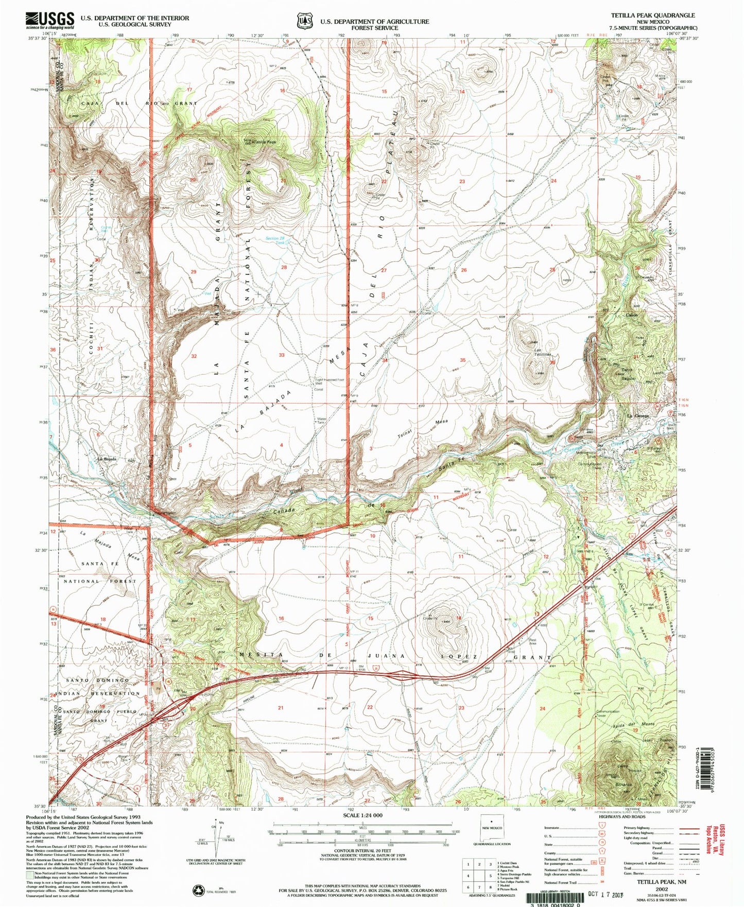
Classic USGS Tetilla Peak New Mexico 7.5'x7.5' Topo Map
Couldn't load pickup availability
Historical USGS topographic quad map of Tetilla Peak in the state of New Mexico. Map scale may vary for some years, but is generally around 1:24,000. Print size is approximately 24" x 27"
This quadrangle is in the following counties: Sandoval, Santa Fe.
The map contains contour lines, roads, rivers, towns, and lakes. Printed on high-quality waterproof paper with UV fade-resistant inks, and shipped rolled.
Contains the following named places: 10095 Water Well, Alamo Creek, Arroyo Yupa, Canada de Santa Fe, Canon, Cerro Bonanza, Cerro Seguro, Cienega Creek, Cienega School, Cieneguilla Pueblo Historic Site, Cochiti Well, Eight Hundred Foot Well, Evelyn Mine, Falda del Monte, Gold and Turquoise Historical Marker, Hiser-Moore Claims, Juanita Lopez Creek, La Bajada, La Bajada Cemetery, La Bajada Census Designated Place, La Bajada Hill, La Bajada Historical Marker, La Bajada Mesa, La Bajada Mesa Agricultural Site, La Bajada Mine, La Bajada Post Office, La Cienega, La Cienega Post Office, La Cienega Volunteer Fire Department Station 2, La Cieniga Scoria, La Majada, Las Golondrinas Ranch Site and Acequia System, Las Tetillitas, Lone Star Mine, RG-13743 Water Well, RG-16860 Water Well, RG-18706 Water Well, RG-22606 Water Well, RG-22771 Water Well, RG-23362 Water Well, RG-24679 Water Well, RG-30067 Water Well, RG-3869 Water Well, RG-4050 Water Well, RG-7308 Water Well, RG-7373 Water Well, RG-8247 Water Well, Rim Well, Section Twenty-Eight Tank, Sito de Juana Lopez Grant, South End of the Rockies Historical Marker, Tetilla Peak, Tetilla Trick Tant, Trio Claim, Tsinat Mesa, Tsinat Ruins, Turquoise Trading Post


