
MyTopo
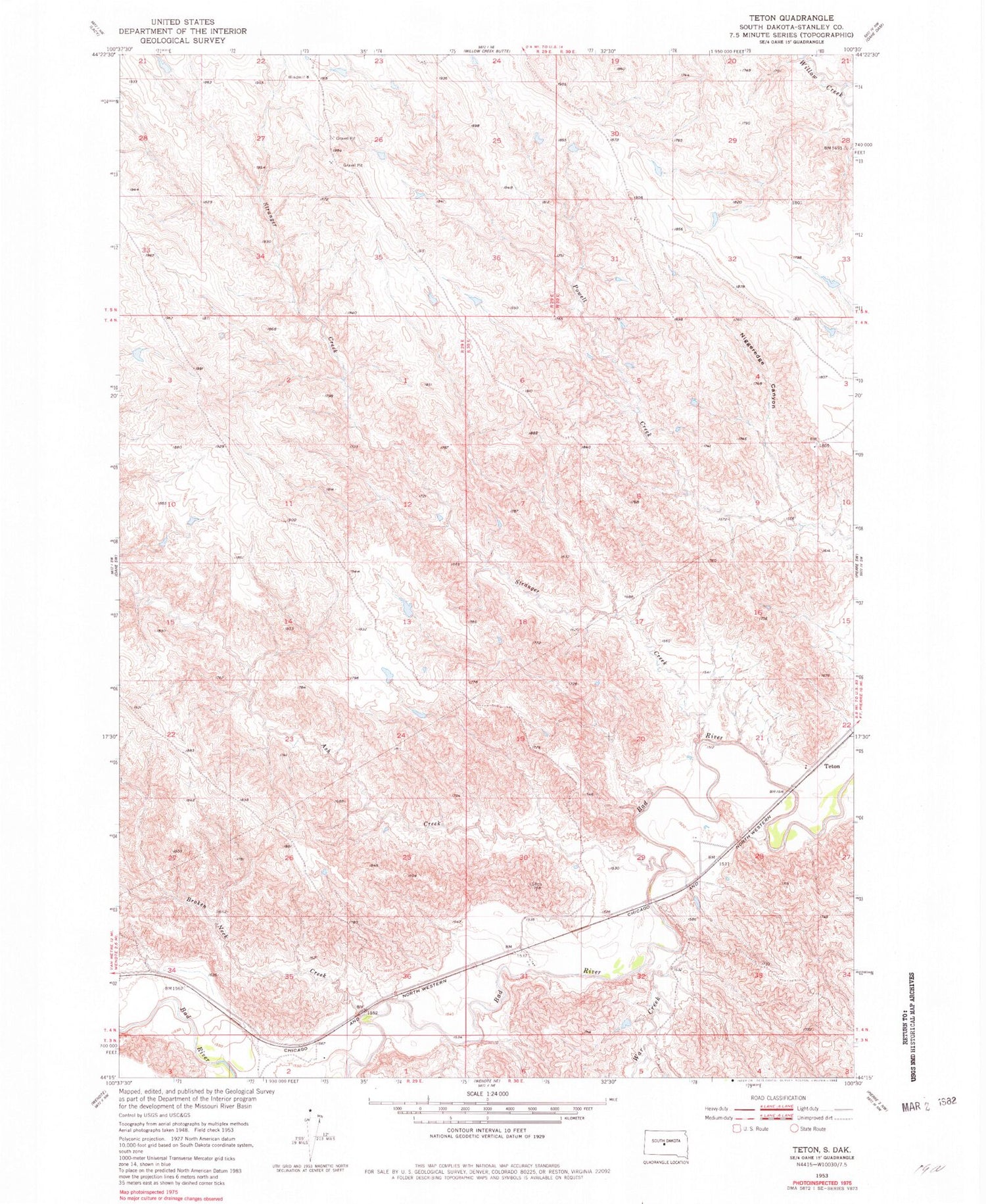
Classic USGS Teton South Dakota 7.5'x7.5' Topo Map
Regular price
$16.95
Regular price
Sale price
$16.95
Unit price
per
Couldn't load pickup availability
Historical USGS topographic quad map of Teton in the state of South Dakota. Map scale may vary for some years, but is generally around 1:24,000. Print size is approximately 24" x 27"
This quadrangle is in the following counties: Stanley.
The map contains contour lines, roads, rivers, towns, and lakes. Printed on high-quality waterproof paper with UV fade-resistant inks, and shipped rolled.
Contains the following named places: Allien Stirling Number 2 Dam, Ash Creek, Ballard Canyon, Broken Neck Creek, Harold Stirling Dam, Hayes Post Office, Normane State Dam, Stranger Creek, Teton, War Creek


