MyTopo
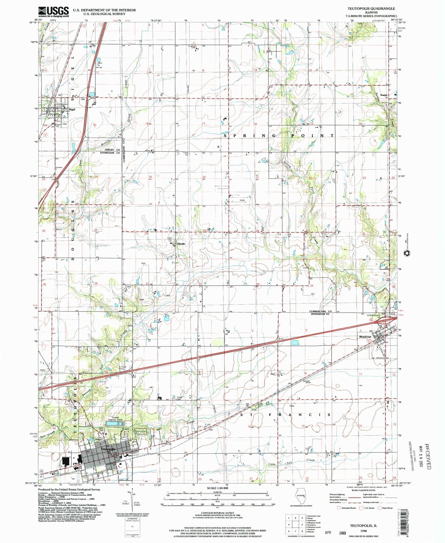
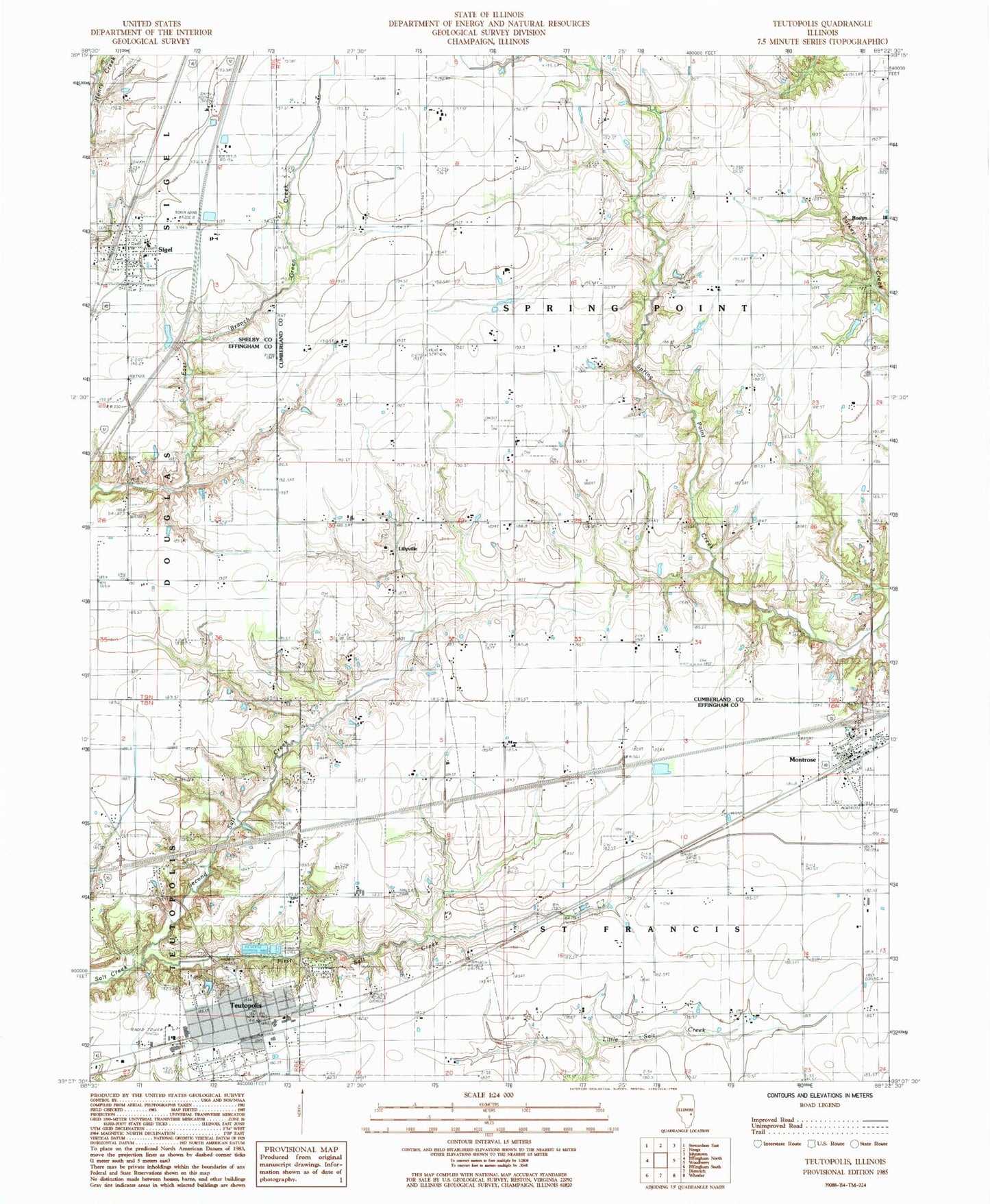
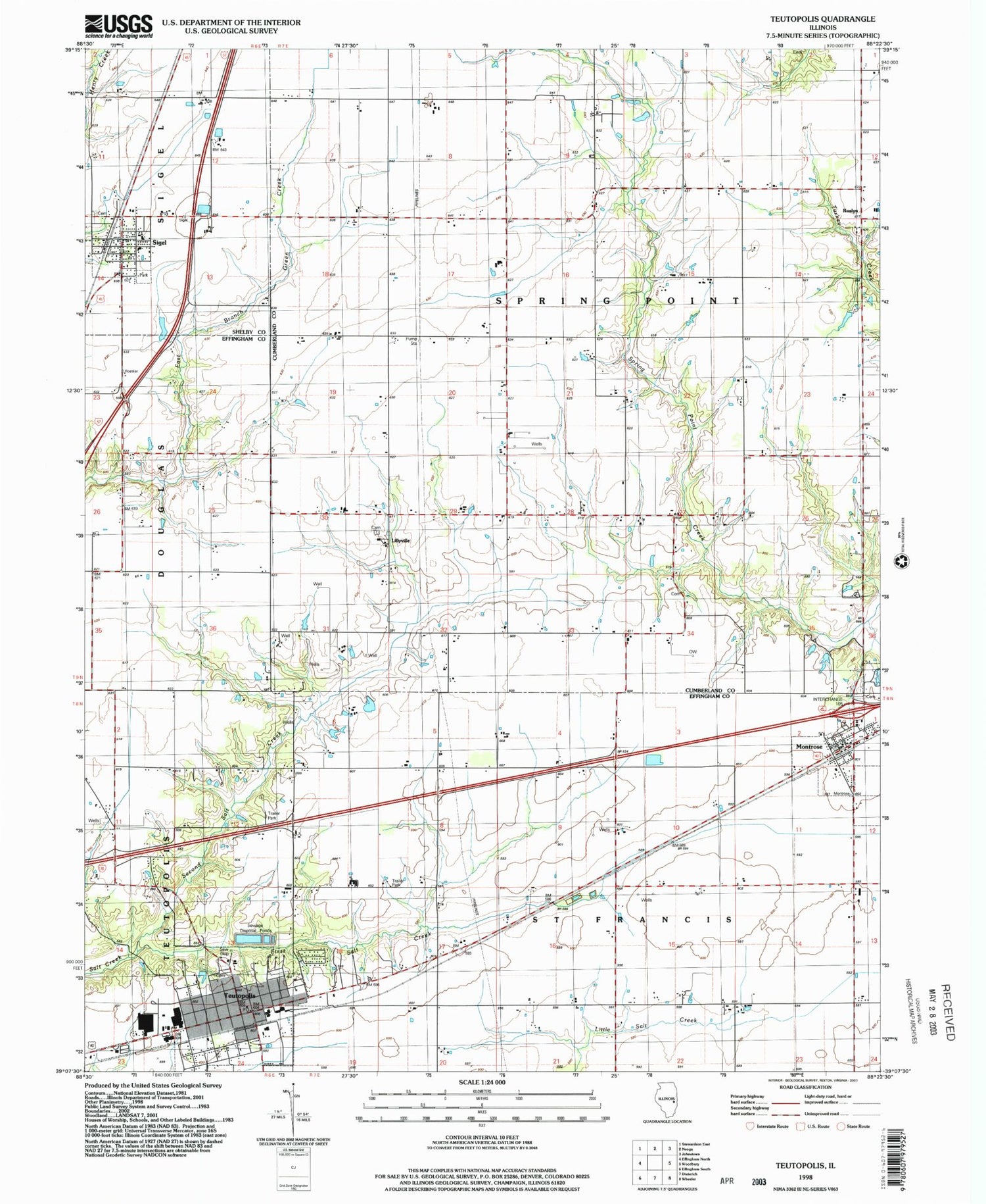
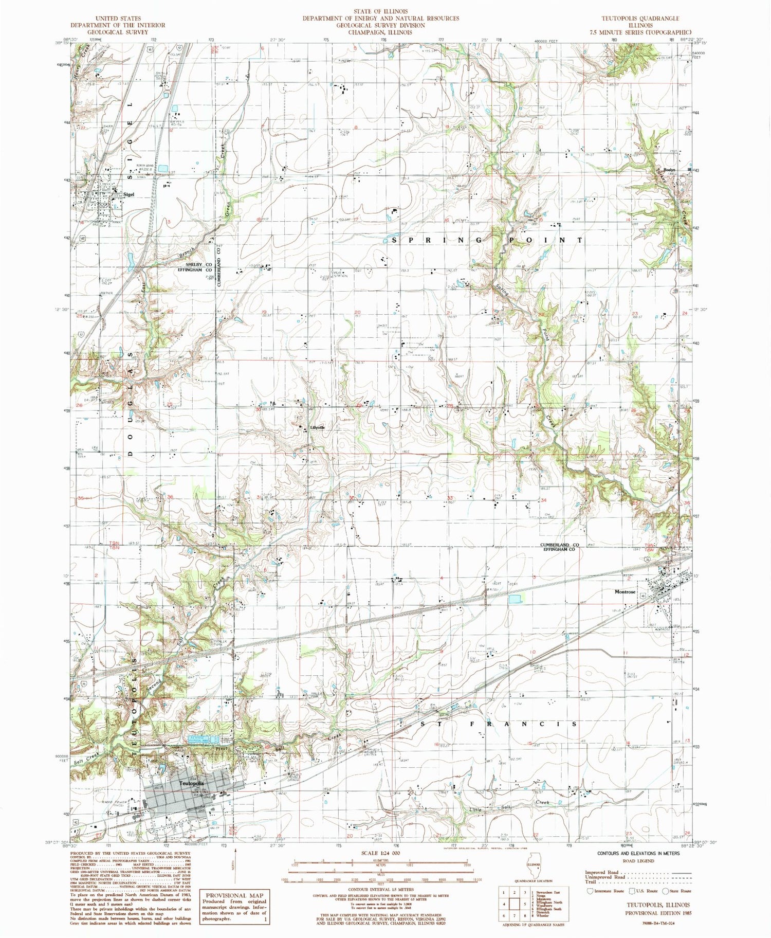
Classic USGS Teutopolis Illinois 7.5'x7.5' Topo Map
Couldn't load pickup availability
Historical USGS topographic quad map of Teutopolis in the state of Illinois. Map scale may vary for some years, but is generally around 1:24,000. Print size is approximately 24" x 27"
This quadrangle is in the following counties: Cumberland, Effingham, Shelby.
The map contains contour lines, roads, rivers, towns, and lakes. Printed on high-quality waterproof paper with UV fade-resistant inks, and shipped rolled.
Contains the following named places: Butterfly School, Faunce Cemetery, First Salt Creek, Lillyville, Lillyville Cemetery, Lillyville Elementary School, Looman Farms, Montrose, Montrose Cemetery, Montrose Fire Protection District, Montrose Post Office, Needham Cemetery, Niemeyer Farm, Plain Tree School, Pruemer Farms, Roslyn, Roslyn United Methodist Church, Sacred Heart Church, Saint Francis Cemetery, Saint Francis Town Hall, Saint Michael Catholic Church, Saint Michael Catholic School, Saint Rose of Lima Cemetery, Second Salt Creek, Sigel, Sigel Fire Protection District, Sigel Post Office, Spring Point School, Spring Point Town Hall, T and R Hog Farm, Teutopolis, Teutopolis Fire Protection District, Teutopolis Grade School, Teutopolis High School, Teutopolis Post Office, Teutopolis Village Hall, Town of Sigel, Township of Saint Francis, Township of Spring Point, Township of Teutopolis, Village of Montrose, Village of Teutopolis, ZIP Codes: 62462, 62467