
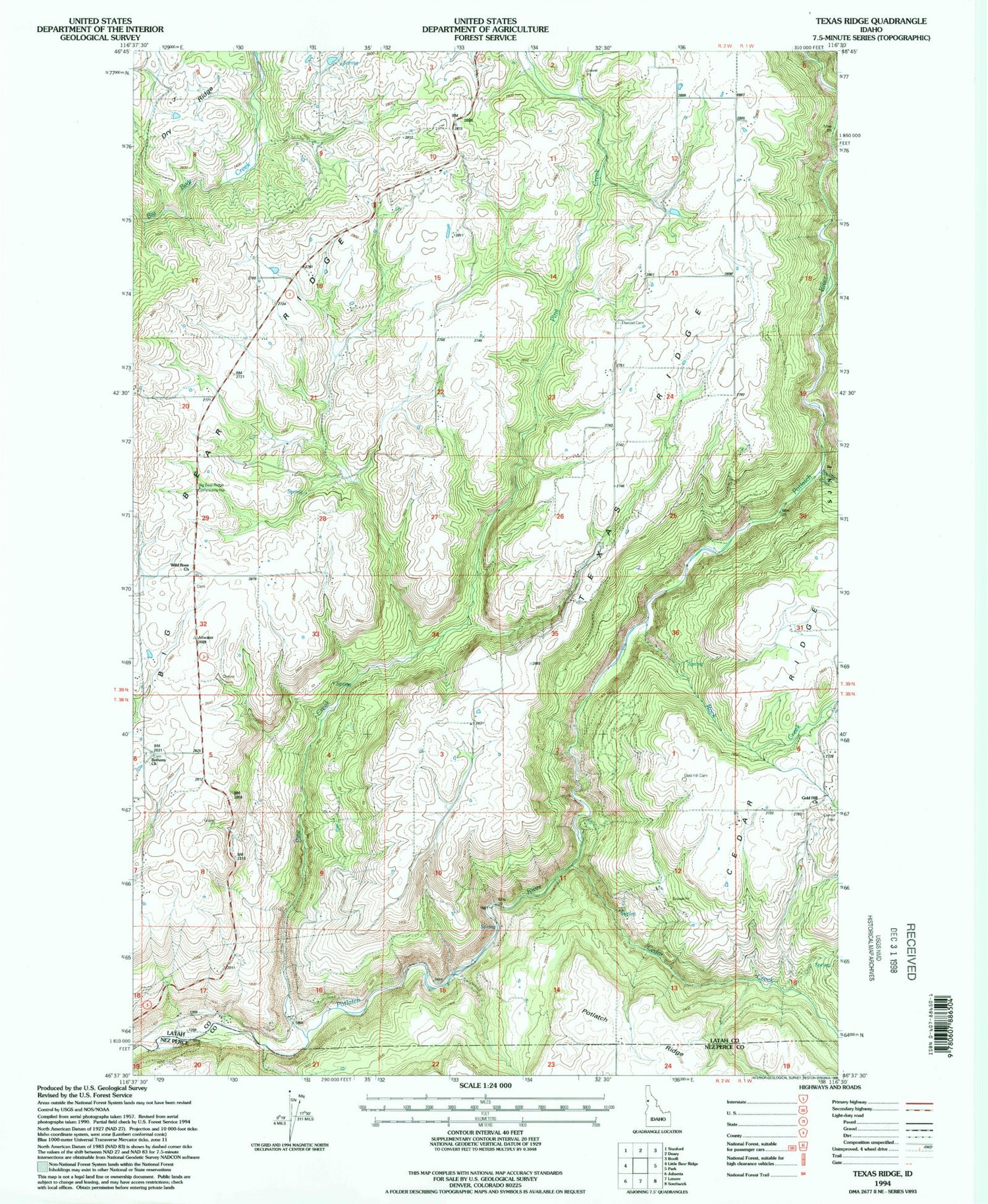
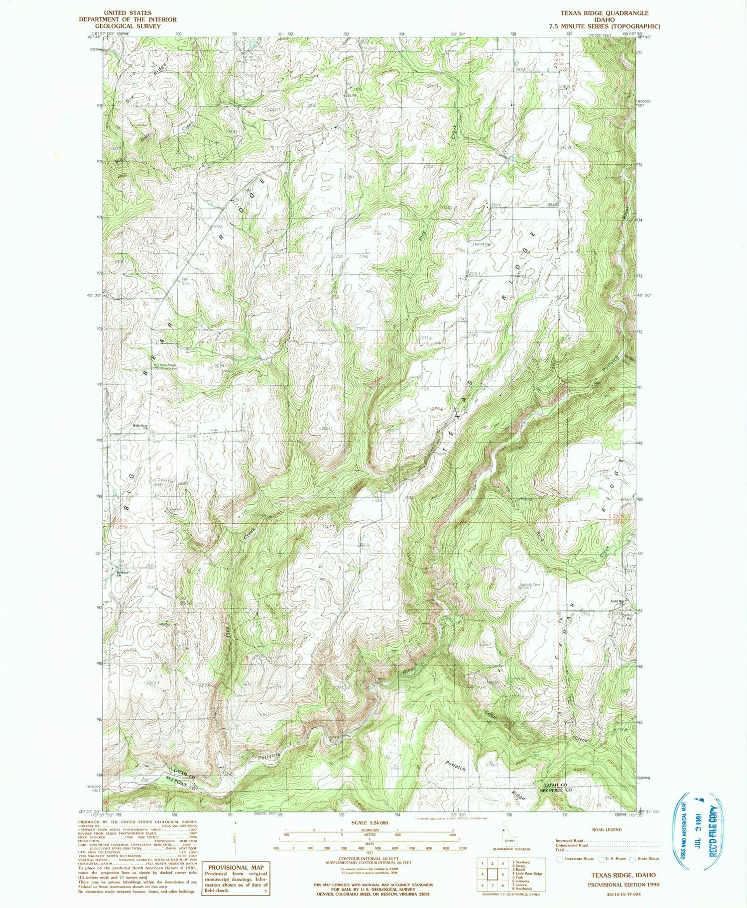
MyTopo
Classic USGS Texas Ridge Idaho 7.5'x7.5' Topo Map
Regular price
$16.95
Regular price
Sale price
$16.95
Unit price
per
Couldn't load pickup availability
Historical USGS topographic quad map of Texas Ridge in the state of Idaho. Map scale may vary for some years, but is generally around 1:24,000. Print size is approximately 24" x 27"
This quadrangle is in the following counties: Latah, Nez Perce.
The map contains contour lines, roads, rivers, towns, and lakes. Printed on high-quality waterproof paper with UV fade-resistant inks, and shipped rolled.
Contains the following named places: Bean Hill, Bethany Cemetery, Big Bear Ridge, Boulder Creek, Cedar Creek, Elwood Cemetery, Gold Hill Cemetery, Huffman Ridge, Pine Creek, Rock Creek, Texas Ridge, Wild Rose Cemetery, ZIP Code: 83537


