MyTopo
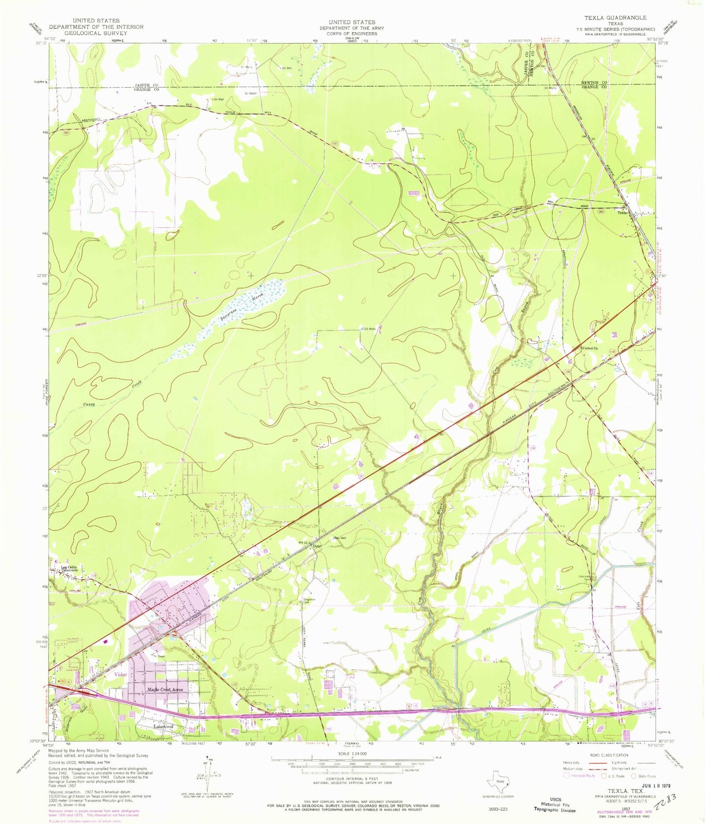
Classic USGS Texla Texas 7.5'x7.5' Topo Map
Couldn't load pickup availability
Historical USGS topographic quad map of Texla in the state of Texas. Map scale may vary for some years, but is generally around 1:24,000. Print size is approximately 24" x 27"
This quadrangle is in the following counties: Jasper, Newton, Orange.
The map contains contour lines, roads, rivers, towns, and lakes. Printed on high-quality waterproof paper with UV fade-resistant inks, and shipped rolled.
Contains the following named places: Allegiance Emergency Services District 1 Station 1, Central Baptist Church, City of Vidor, Doty, Faith Tabernacle Pentecostal Church, Harmony Baptist Church, Jenkins Airport, KAYD-FM (Beaumont), KBMT-TV (Beaumont), KFDM-TV (Beaumont), KIOC-FM (Orange), KITU-TV (Beaumont), KJAC-TV (Port Arthur), KKMY-FM (Orange), KQXY-FM (Beaumont), KZZB-FM (Beaumont), Lakewood, Linscomb Cemetery, Log Cabin Tabernacle, Maple Crest Acres, Mauriceville Census Designated Place, Oak Forest Elementary School, Orange County Sheriff's Office - Mauriceville, Sawgrass Marsh, Singleton Cemetery, Texla, Trinity Baptist Church, United Church, Vidor Middle School