MyTopo
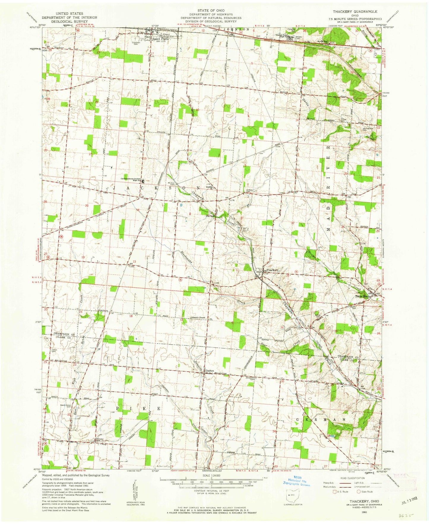
Classic USGS Thackery Ohio 7.5'x7.5' Topo Map
Couldn't load pickup availability
Historical USGS topographic quad map of Thackery in the state of Ohio. Map scale may vary for some years, but is generally around 1:24,000. Print size is approximately 24" x 27"
This quadrangle is in the following counties: Champaign, Clark.
The map contains contour lines, roads, rivers, towns, and lakes. Printed on high-quality waterproof paper with UV fade-resistant inks, and shipped rolled.
Contains the following named places: Apple School, Bar W Equestrian Center, Beech Crossing School, Beech Grove Cemetery, Blacksnake Creek, Bryar, Christiansburg-Jackson High School, Circle Farms, Coffin Station, Darnell, Deer Creek, Dialton, Dialton Post Office, Evergreen Cemetery, Grafton Cemetery, Grafton Church, Grafton School, Graham Local High School, Helvie Family Cemetery, Hill Cemetery, Jenking - Kite Cemetery, Jerusalem Cemetery, Kitty Creek, Mammal Cemetery, Mohawk School, Mount Zion Cemetery, Myrtle Tree Cemetery, Myrtle Tree Church, Newsom Chapel Cemetery, Paris Court East, Prince Cemetery, Proctor, Reeds Airport, School Number 6, Seth Corners, Shaffer Cemetery, Terre Haute, Terre Haute Cemetery, Terre Haute Post Office, Terre Haute United Methodist Church, Thackery, Thackery Ditch, Thackery Post Office, Township of Jackson, Windy Corner, Yale School, Zerkle Cemetery, ZIP Code: 43072


