MyTopo
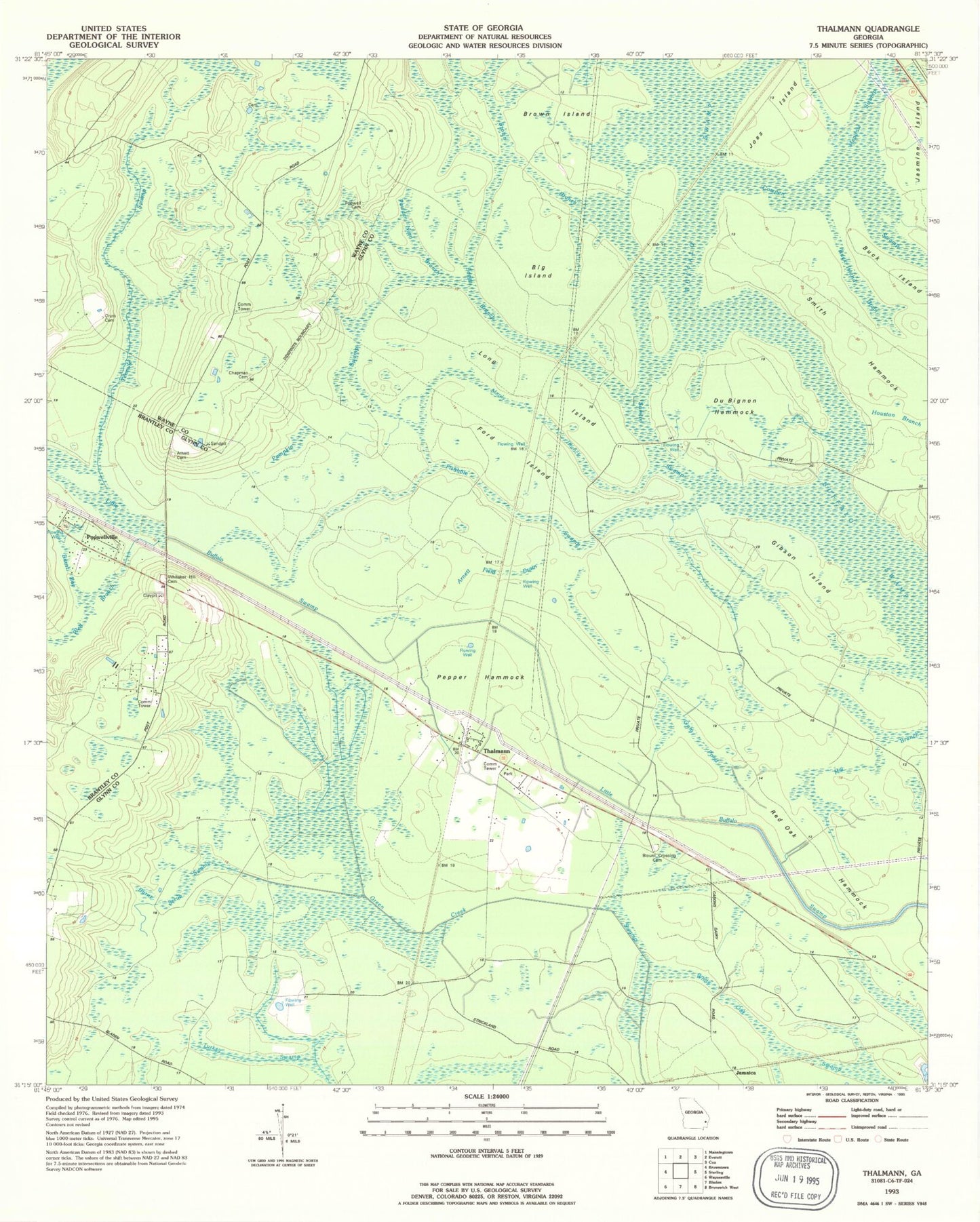
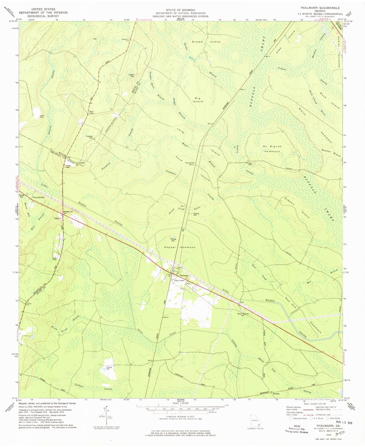
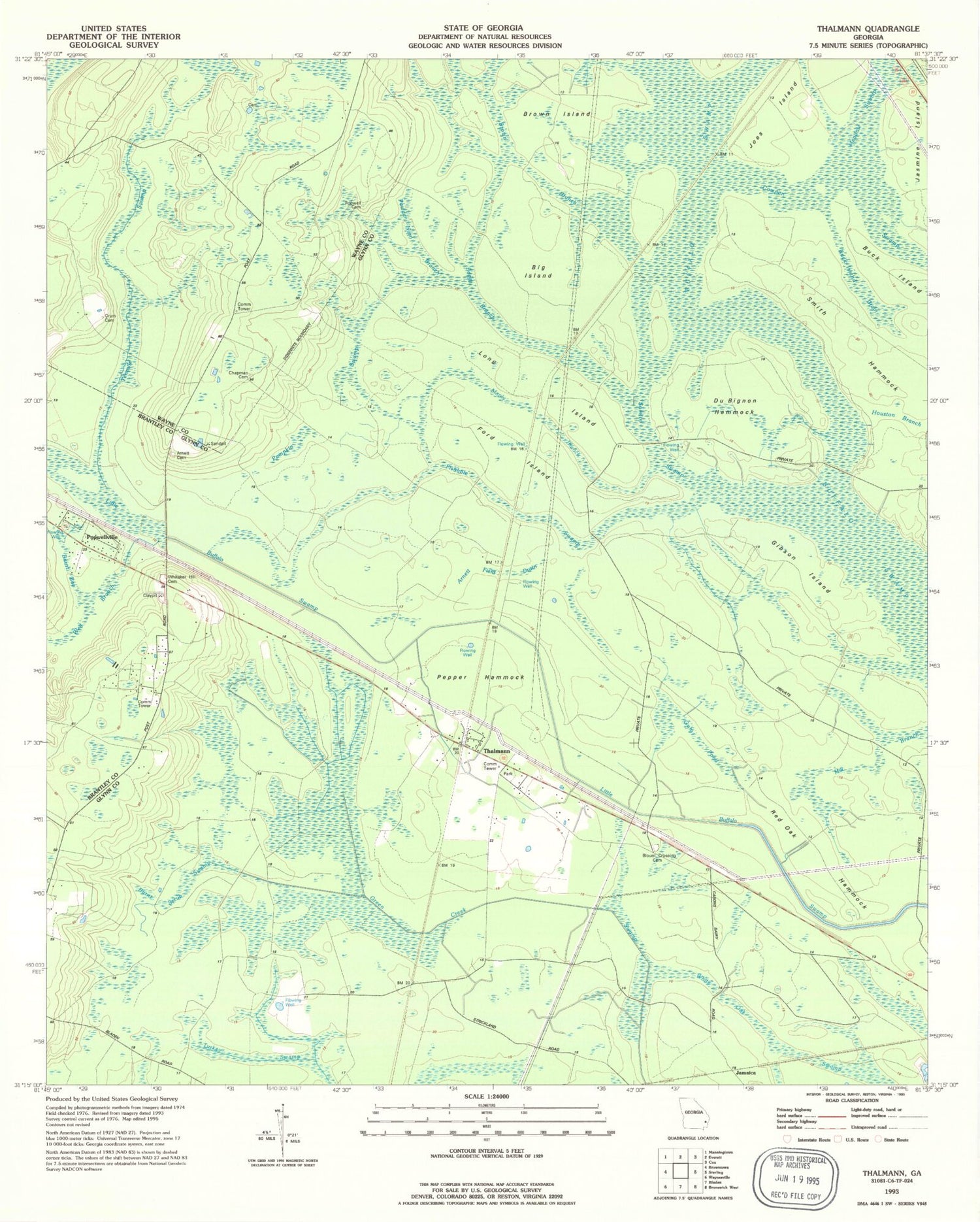
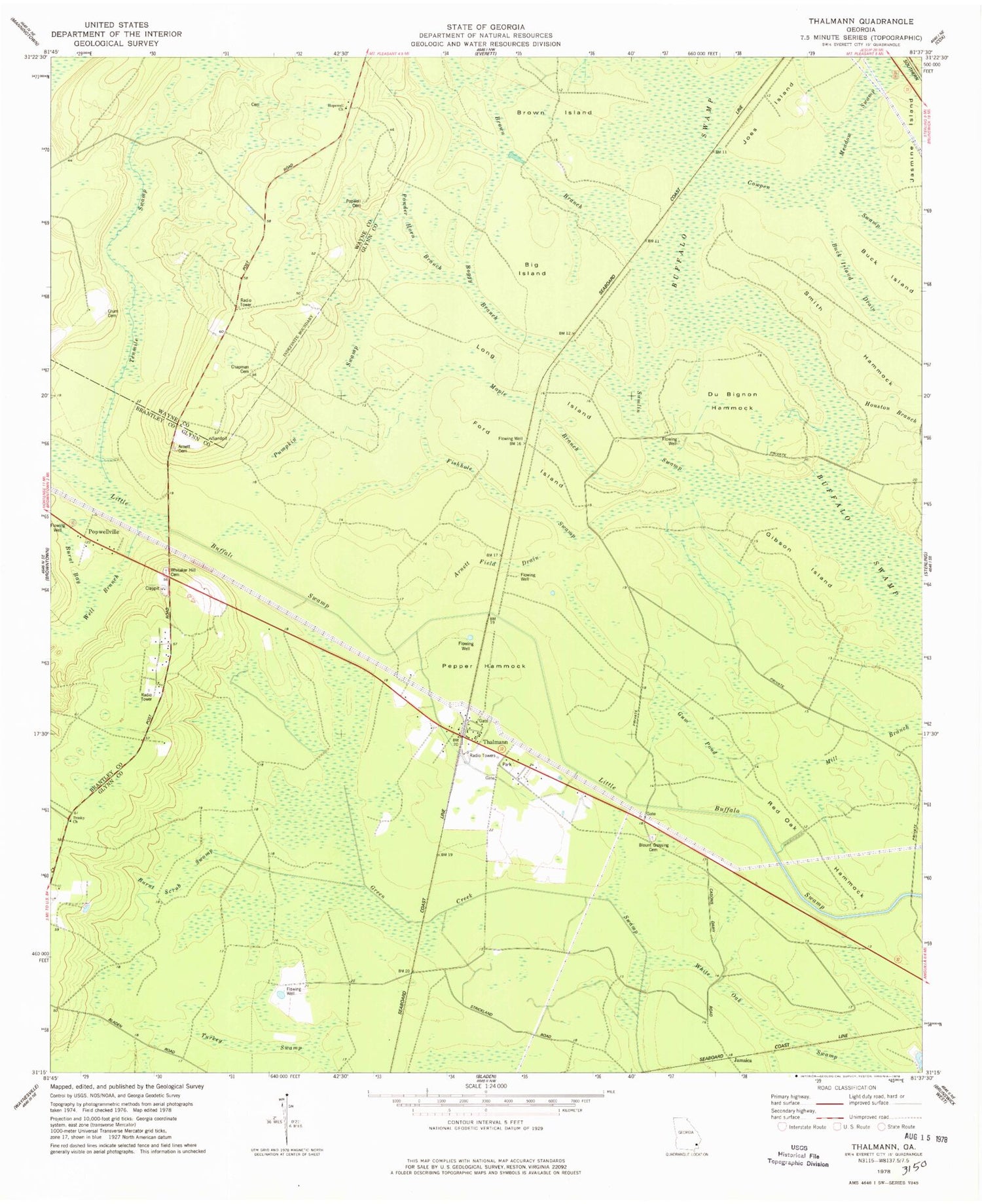
Classic USGS Thalmann Georgia 7.5'x7.5' Topo Map
Couldn't load pickup availability
Historical USGS topographic quad map of Thalmann in the state of Georgia. Map scale may vary for some years, but is generally around 1:24,000. Print size is approximately 24" x 27"
This quadrangle is in the following counties: Brantley, Glynn, Wayne.
The map contains contour lines, roads, rivers, towns, and lakes. Printed on high-quality waterproof paper with UV fade-resistant inks, and shipped rolled.
Contains the following named places: Akins Pond, Akins Pond Dam, Arnett Cemetery, Arnett Field Drain, Belle Vista, Big Island, Blount Crossing Cemetery, Blunt, Boggy Branch, Brown Branch, Brown Island, Buck Island, Buck Island Drain, Burnt Bay, Burnt Scrub Swamp, Chapman Cemetery, Crum Cemetery, DuBignon Hammock, Fishhole Swamp, Ford, Ford Swamp, Gibson Island, Glynn Missionary Church, Gum Pond, Hopewell Baptist Church, Hopewell School, Jamaica, Jasmine Island, Jenks, Joes Island, Leicht, Liberty Church, Long Island, Lotts, Maple Branch, Martin Strand, Meadow Swamp, Pepper Hammock, Popwell Cemetery, Popwellville, Powder Horn Branch, Pumpkin Swamp, Red Oak Hammock, Smith Hammock, Sumlin Swamp, Tenmile Swamp, Thalmann, Trinity Church, Turkey Swamp, Well Branch, Whitaker Hill Cemetery, White Oak Swamp


