
MyTopo
Classic USGS The Blocks Utah 7.5'x7.5' Topo Map
Regular price
$16.95
Regular price
Sale price
$16.95
Unit price
per
Couldn't load pickup availability
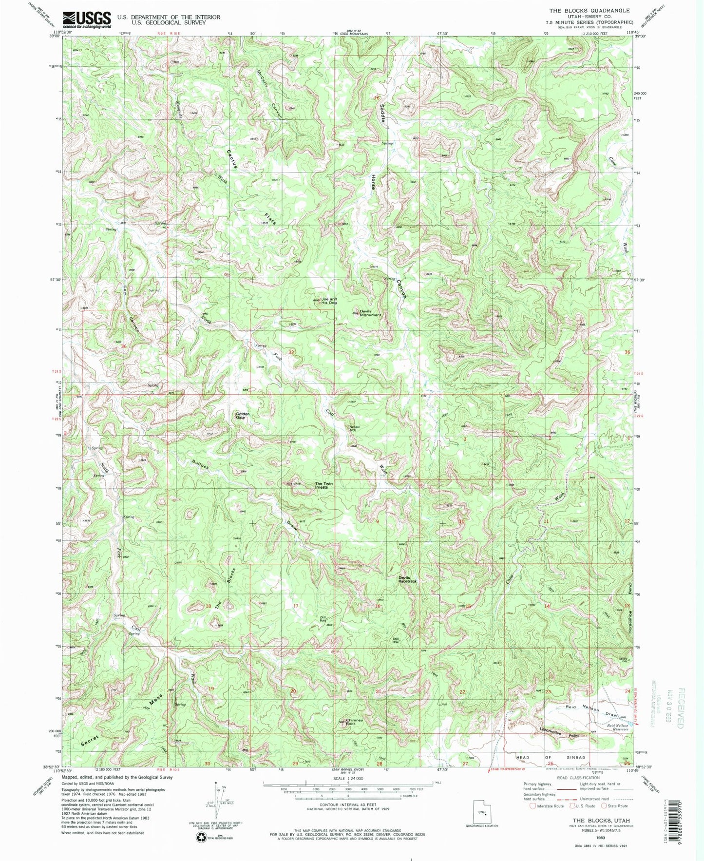
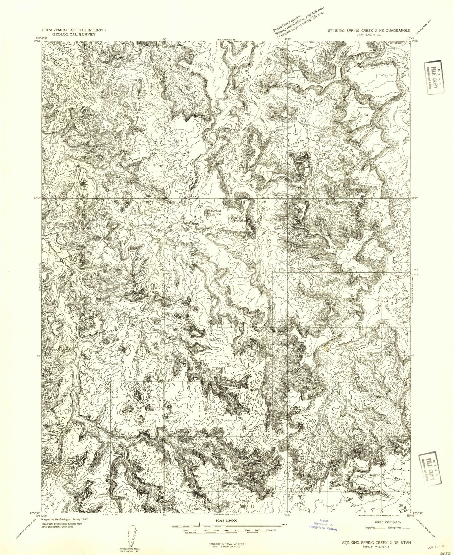
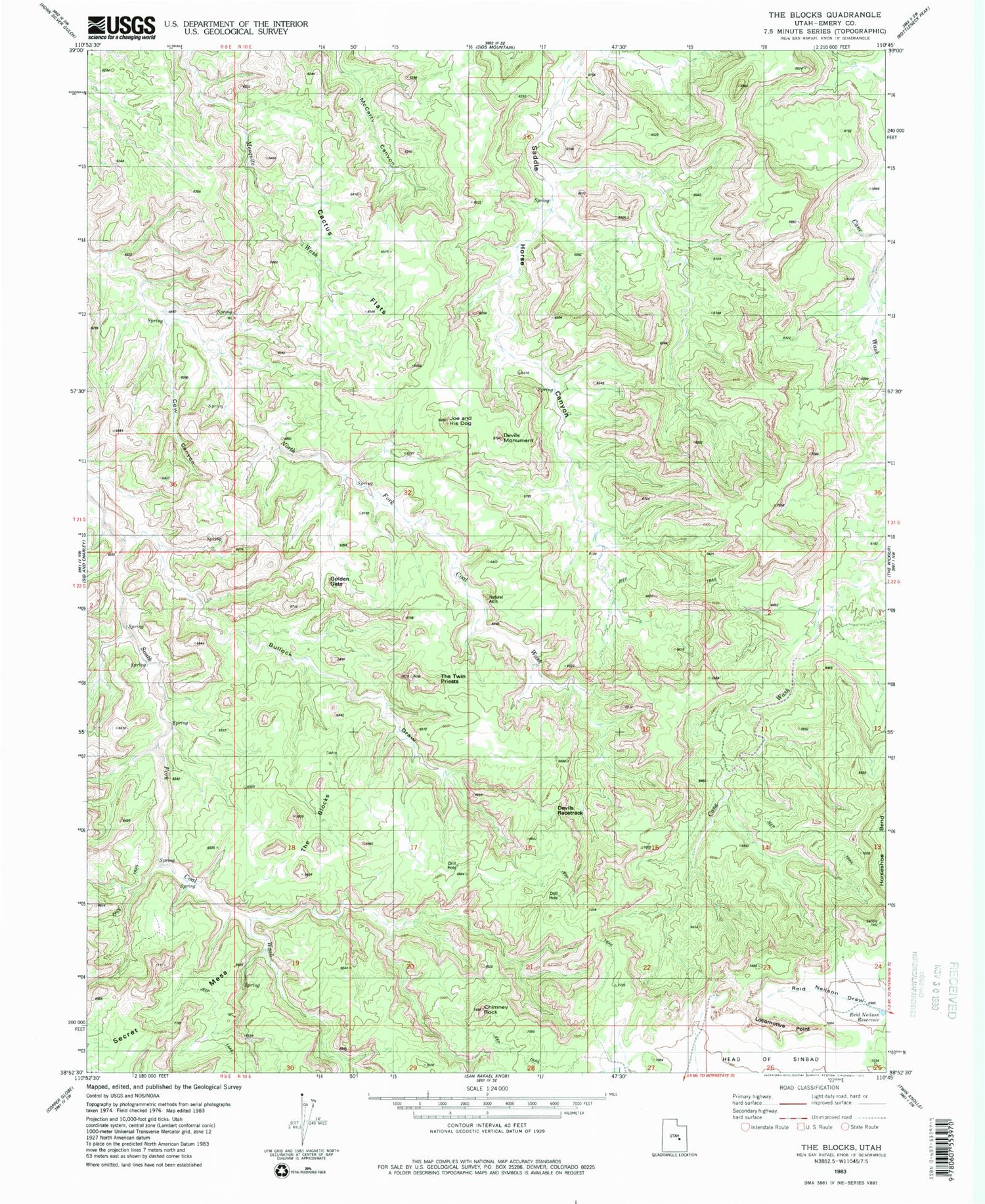
Historical USGS topographic quad map of The Blocks in the state of Utah. Map scale may vary for some years, but is generally around 1:24,000. Print size is approximately 24" x 27"
This quadrangle is in the following counties: Emery.
The map contains contour lines, roads, rivers, towns, and lakes. Printed on high-quality waterproof paper with UV fade-resistant inks, and shipped rolled.
Contains the following named places: Bullock Draw, Cactus Flats, Chimney Rock, Cow Canyon, Devils Monument, Golden Gate, Joe and His Dog, Locomotive Point, Obscure Arch, Reid Neilson Reservoir, Sinbad Valley, Swaseys Arch, The Blocks