
MyTopo
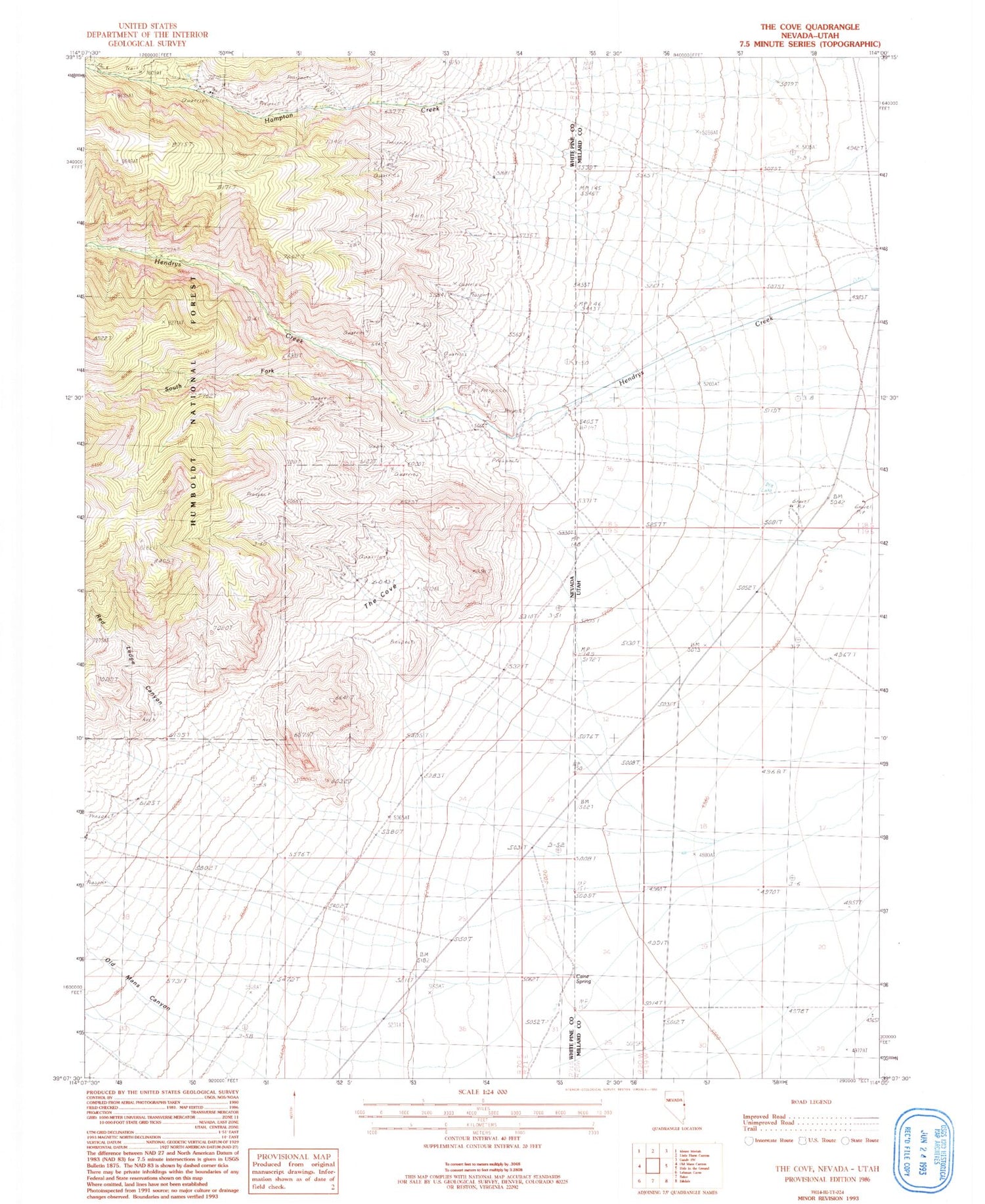
Classic USGS The Cove Nevada 7.5'x7.5' Topo Map
Regular price
$16.95
Regular price
Sale price
$16.95
Unit price
per
Couldn't load pickup availability
Historical USGS topographic quad map of The Cove in the states of Nevada, Utah. Map scale may vary for some years, but is generally around 1:24,000. Print size is approximately 24" x 27"
This quadrangle is in the following counties: Millard, White Pine.
The map contains contour lines, roads, rivers, towns, and lakes. Printed on high-quality waterproof paper with UV fade-resistant inks, and shipped rolled.
Contains the following named places: Caine Spring, Hendries Mill, Hendrys Creek, Old Mans Canyon, Pipe Spring, Red Ledge Canyon, Red Spring, Robison Ranch, South Fork Hendrys Creek, Star Dust Mine, The Cove


