MyTopo
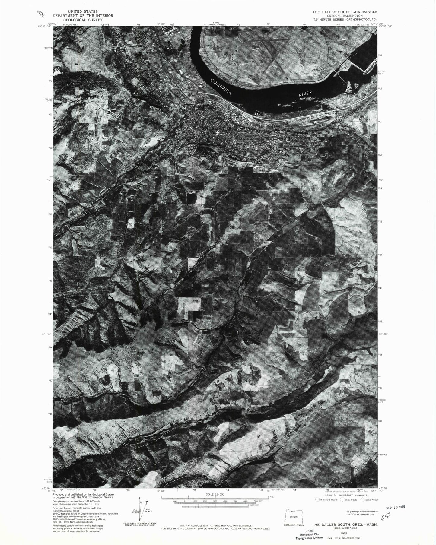
Classic USGS The Dalles South Oregon 7.5'x7.5' Topo Map
Couldn't load pickup availability
Historical USGS topographic quad map of The Dalles South in the states of Oregon, Washington. Map scale may vary for some years, but is generally around 1:24,000. Print size is approximately 24" x 27"
This quadrangle is in the following counties: Klickitat, Wasco.
The map contains contour lines, roads, rivers, towns, and lakes. Printed on high-quality waterproof paper with UV fade-resistant inks, and shipped rolled.
Contains the following named places: American Red Cross Columbia River District The Dalles Office, Anderson Spring, C and F Orchards, Chenoweth Census Designated Place, Cherry Heights, Church of Jesus Christ of Latter Day Saints, City of The Dalles, Colonel Wright Elementary School, Columbia Gorge Community College, Columbia Gorge Community College The Dalles Theater Building, Columbia Gorge Regional/The Dalles Municipal Airport, Covington Point, Dalles Evangelical Church, Dallesport, Dallesport Post Office, Department of Motor Vehicles The Dalles, Dry Hollow, Dry Hollow Elementary School, Foley Orchard, Fort Dalles, Fort Dalles Museum / Anderson Homestead, Fort Dalles Rodeo Grounds, Fort Lee, Grand Army of the Republic Cemetery, Hazel Dell Orchards, Hazeldell Orchards Reservoir, Hess Park, Howe Park, Independent Order of Odd Fellows Cemetery, Joseph G Wilson Elementary School, KACI - AM, KGNW - FM, Klickitat County Fire District 6 Dallesport / Murdock Fire Department, Klickitat County Public Hopital District 2 Skyline Ambulance, KODL - AM, Lewis and Clark Memorial, Lone Pine Island, Lone Pine Treaty Fishing Access Site, Masonic Cemetery, Mid - Columbia Fire and Rescue, Mid - Columbia Fire and Rescue Station 2, Mid - Columbia Medical Center, Mid - Columbia Medical Center Heliport, Mill Creek, Mill Creek Field, North Central Public Health District Department Office, Northdalles Station, Northern Oregon Regional Adult Corrections Facility, Northern Oregon Regional Juvenile Detention Facility, Old St Peter's Landmark, Orchid Camp, Oregon State Police Department - The Dalles Area Command, Original Wasco County Courthouse Museum, Pioneer Cemetery, Port of the Dalles, Port of The Dalles Marina, Port of The Dalles Marina Boat Ramp, Pulpit Rock, Rorick House Museum, Ryan Corner, Saint Mary's Academy, Saint Peter's Cemetery, Seufert County Park, Sorosis Park, Sorosis Reservoir, Spearfish Substation, Sunset Cemetery, The Dalles, The Dalles - Wahtonka High School, The Dalles - Wasco County Library, The Dalles Bridge, The Dalles City Hall, The Dalles Civic Auditorium, The Dalles Dam, The Dalles Middle School, The Dalles Municipal Court, The Dalles Police Department, The Dalles Post Office, The Dalles Public Works, The Dalles Substation, The Dalles Transportation Network, The Dalles Wastewater Treatment Plant, The Hogback, Thompson Park, Threemile Creek, Threemile Point, Threemile Rapids, Threemile Rapids Light, Wasco County Courthouse, Wasco County Public Works, Wasco County Sheriff's Office, Whisky Gulch, ZIP Code: 97058