MyTopo
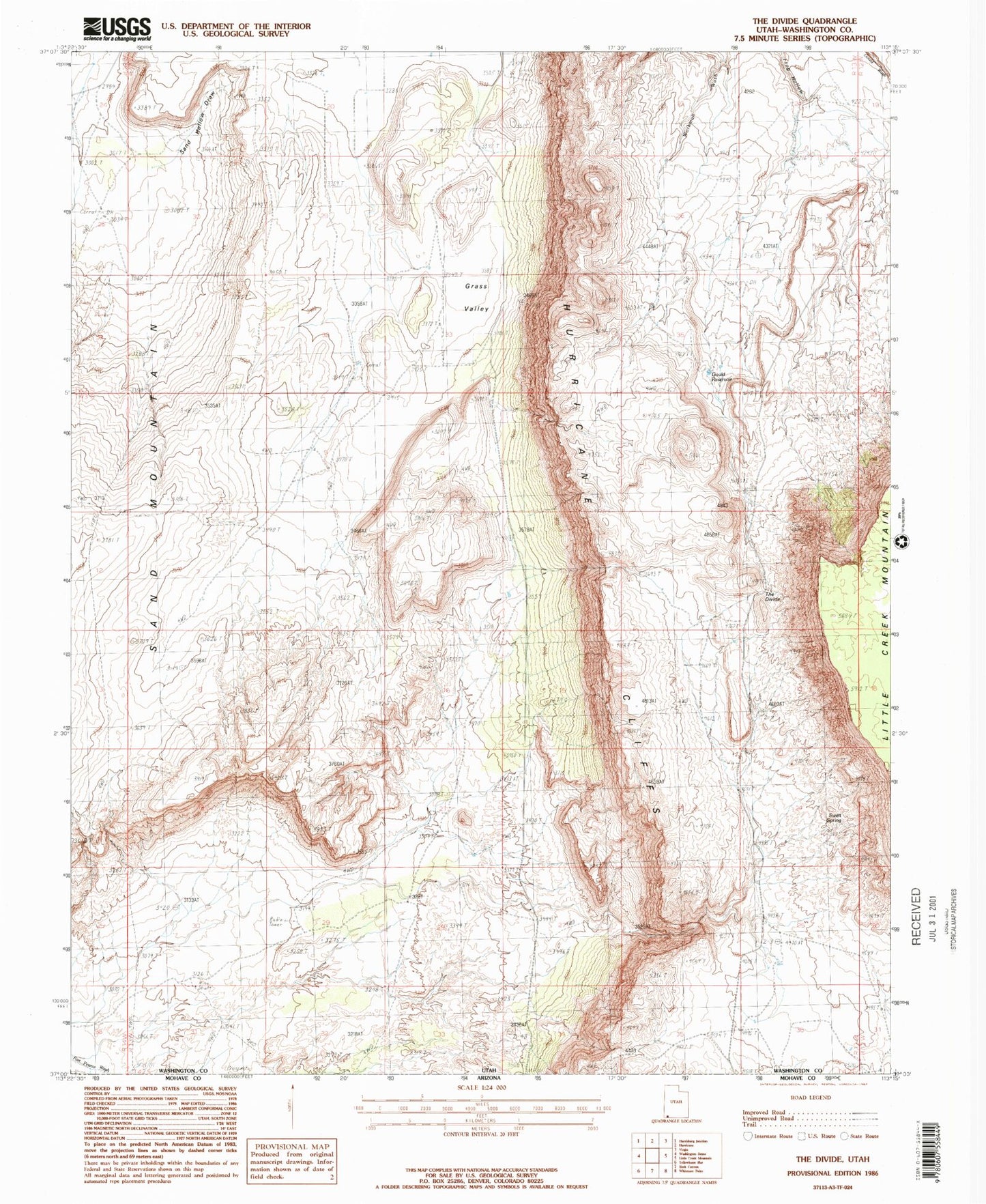
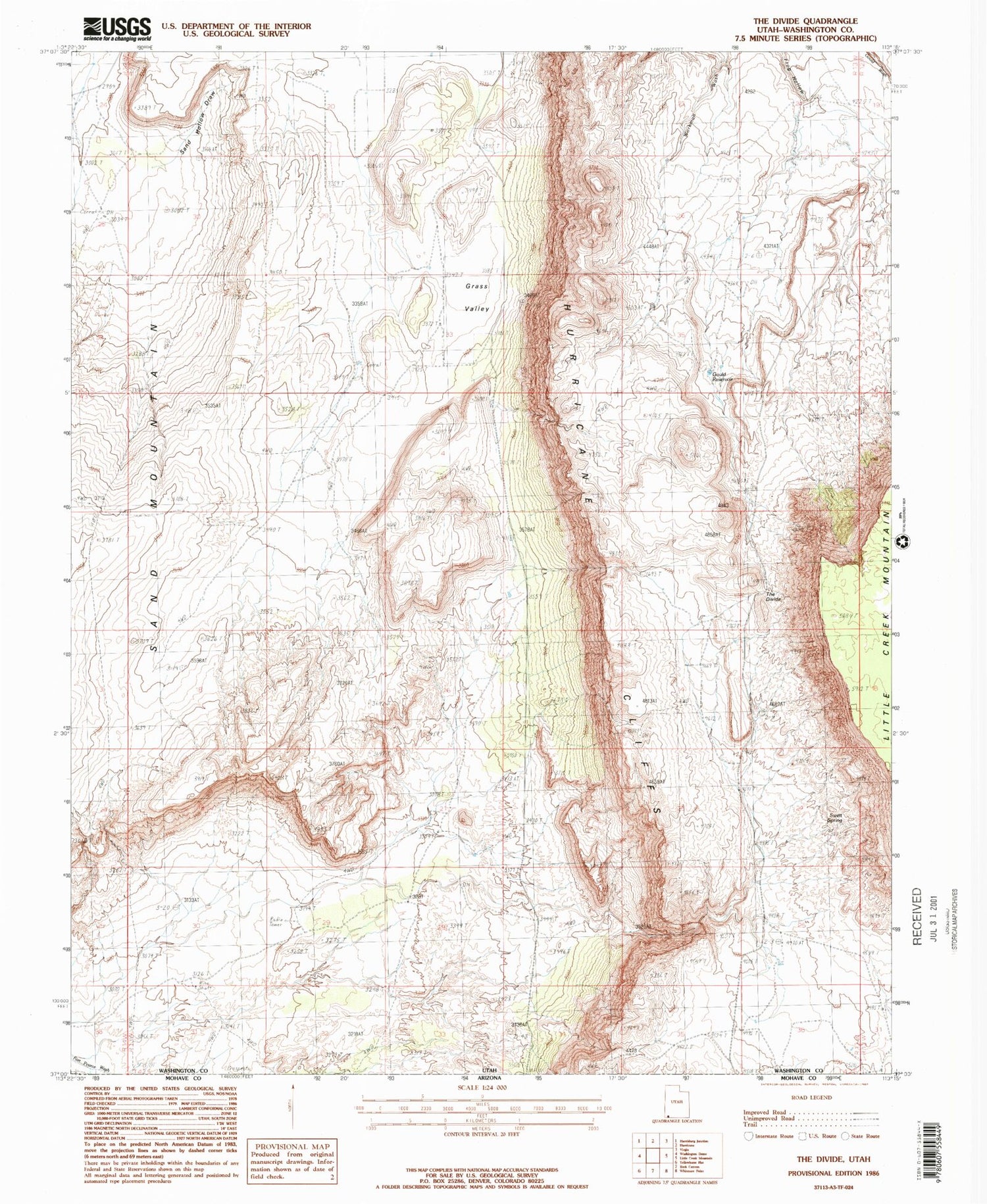
Classic USGS The Divide Utah 7.5'x7.5' Topo Map
Regular price
$16.95
Regular price
Sale price
$16.95
Unit price
per
Couldn't load pickup availability
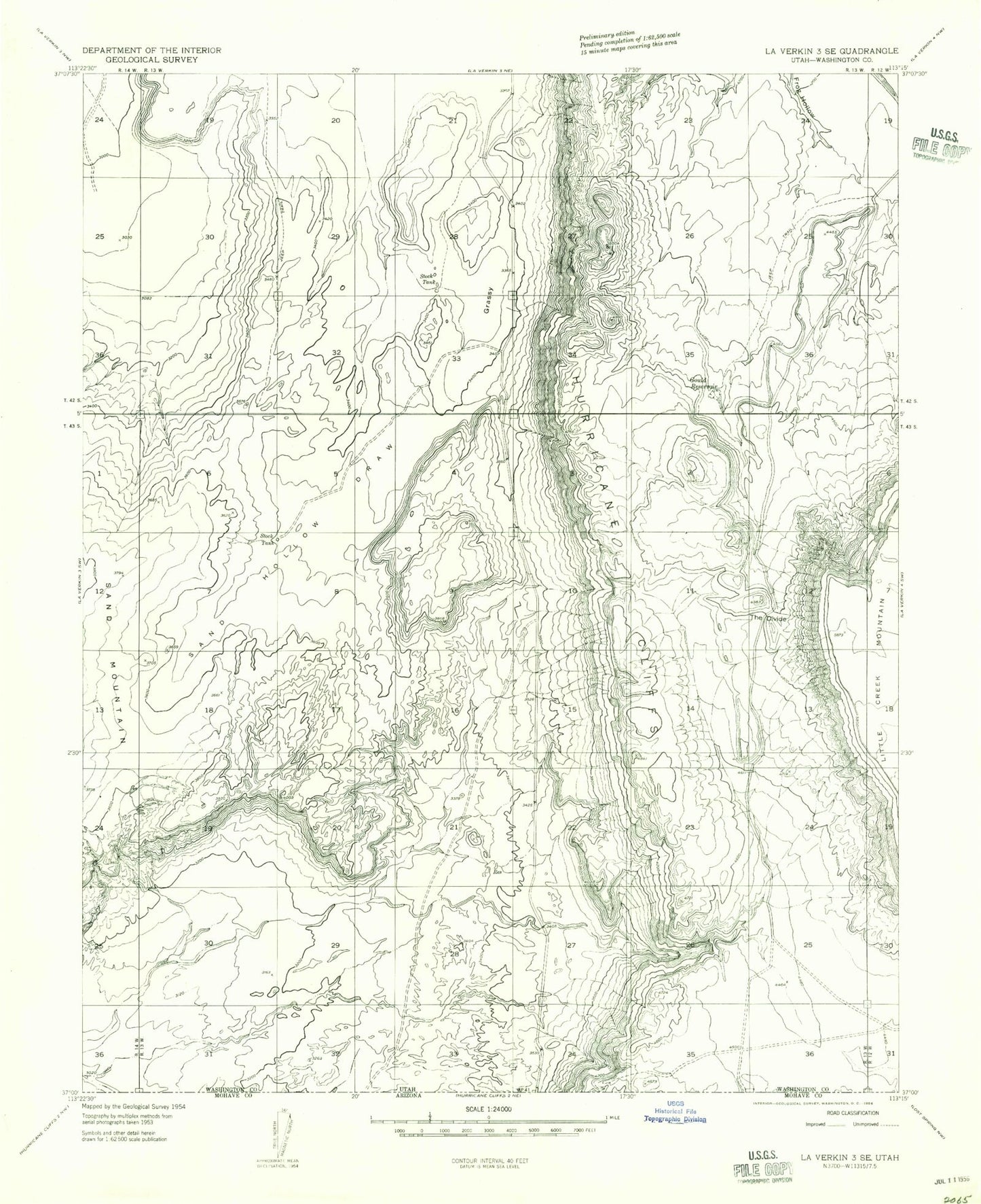
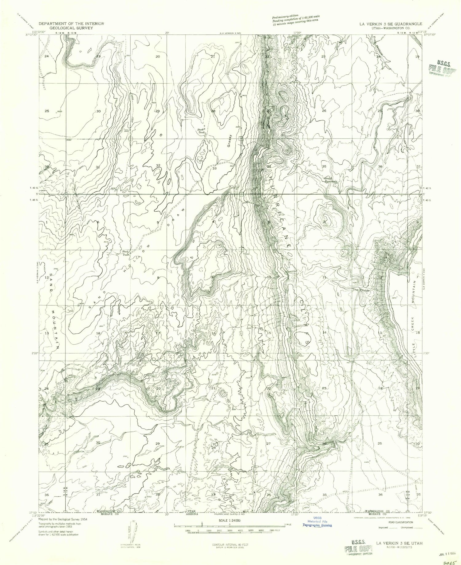
Historical USGS topographic quad map of The Divide in the state of Utah. Map scale may vary for some years, but is generally around 1:24,000. Print size is approximately 24" x 27"
This quadrangle is in the following counties: Washington.
The map contains contour lines, roads, rivers, towns, and lakes. Printed on high-quality waterproof paper with UV fade-resistant inks, and shipped rolled.
Contains the following named places: Frog Hollow Debris Basin Dam, Frog Hollow Debris Basin Reservoir, Gould Reservoir, Grass Valley, Grassy Meadows/Sky Ranch Landowners Association Airport, Little Creek Mountain, Sand Hollow Draw, Sweet Spring, The Divide