MyTopo
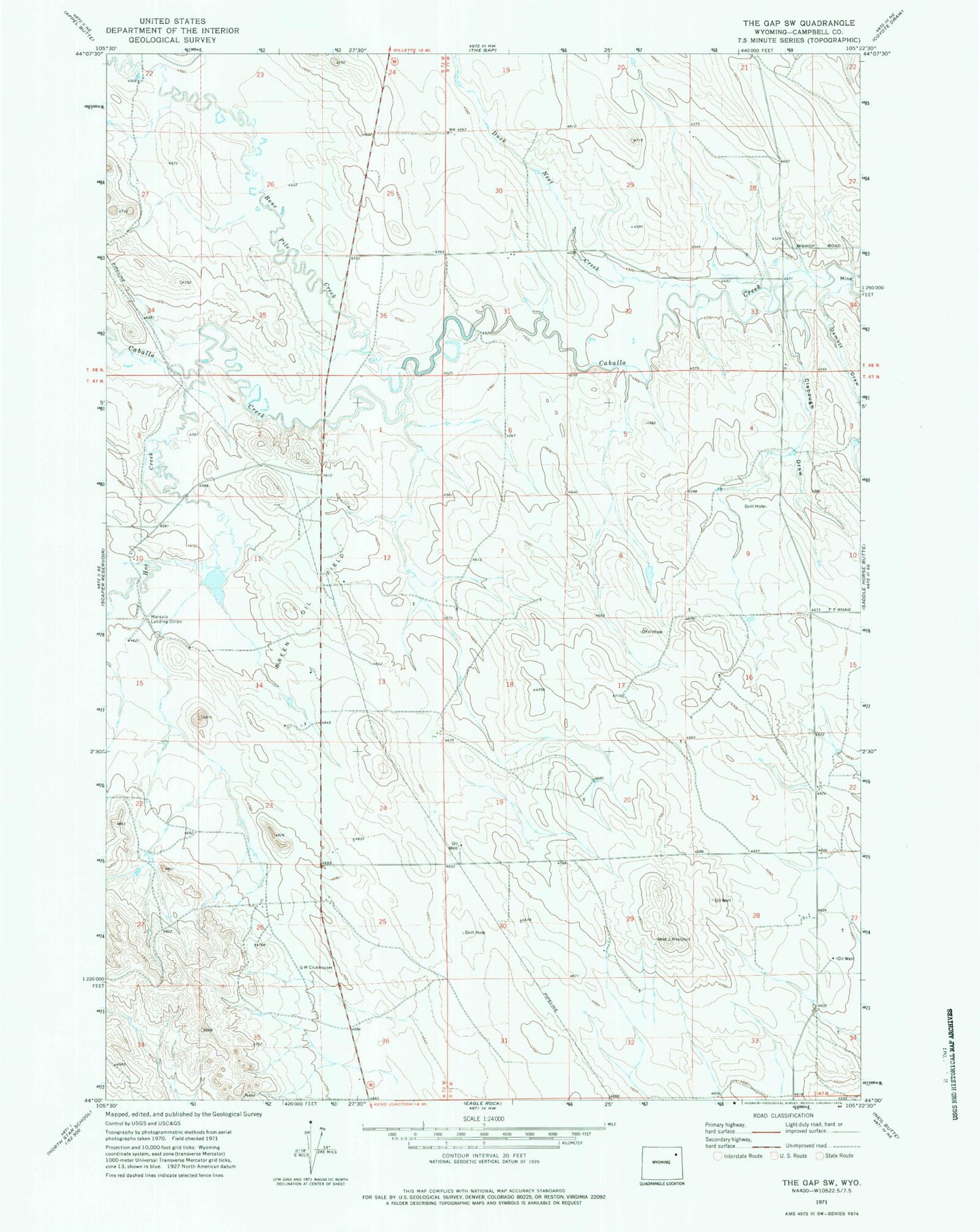
Classic USGS The Gap SW Wyoming 7.5'x7.5' Topo Map
Regular price
$16.95
Regular price
Sale price
$16.95
Unit price
per
Couldn't load pickup availability
Historical USGS topographic quad map of The Gap SW in the state of Wyoming. Map scale may vary for some years, but is generally around 1:24,000. Print size is approximately 24" x 27"
This quadrangle is in the following counties: Campbell.
The map contains contour lines, roads, rivers, towns, and lakes. Printed on high-quality waterproof paper with UV fade-resistant inks, and shipped rolled.
Contains the following named places: Bone Pile Creek, Breen Oil Field, Caballo Dam, Caballo Reservoir, Clabaugh Draw, Demott Draw, Duck Nest Creek, Geis Scoria Pit Number One, G-M Clubhouse, Haight Dam, Haight Reservoir, Hoe Creek, Stone Number 1 Dam, Stone Number 1 Reservoir