MyTopo
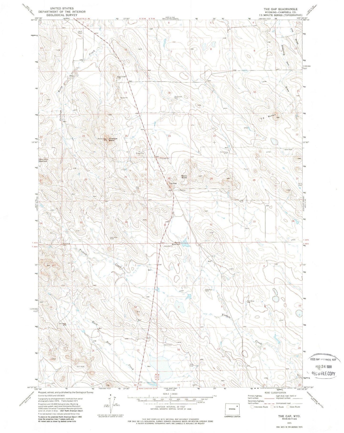
Classic USGS The Gap Wyoming 7.5'x7.5' Topo Map
Couldn't load pickup availability
Historical USGS topographic quad map of The Gap in the state of Wyoming. Map scale may vary for some years, but is generally around 1:24,000. Print size is approximately 24" x 27"
This quadrangle is in the following counties: Campbell.
The map contains contour lines, roads, rivers, towns, and lakes. Printed on high-quality waterproof paper with UV fade-resistant inks, and shipped rolled.
Contains the following named places: Antelope Butte, Antelope Valley, Antelope Valley-Crestview Census Designated Place, Campbell County Fire Department Station 11, Crestview, Rocky Butte, Rourke Number 1 Dam, Rourke Number 1 Reservoir, Rourke Reservoir, Sleepy Hollow, Sleepy Hollow Census Designated Place, Southern Drive Industrial Park, T A Buttes, The Gap