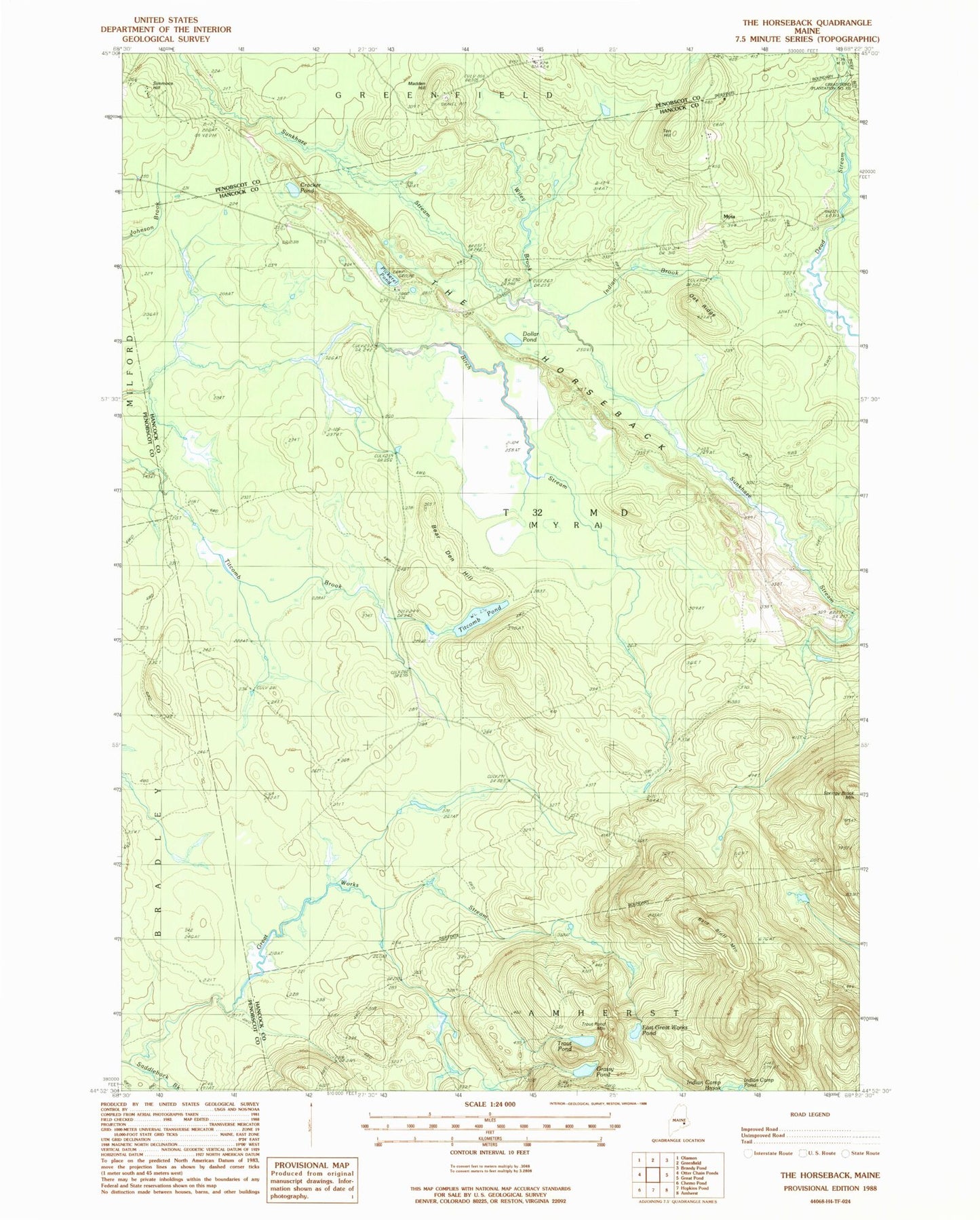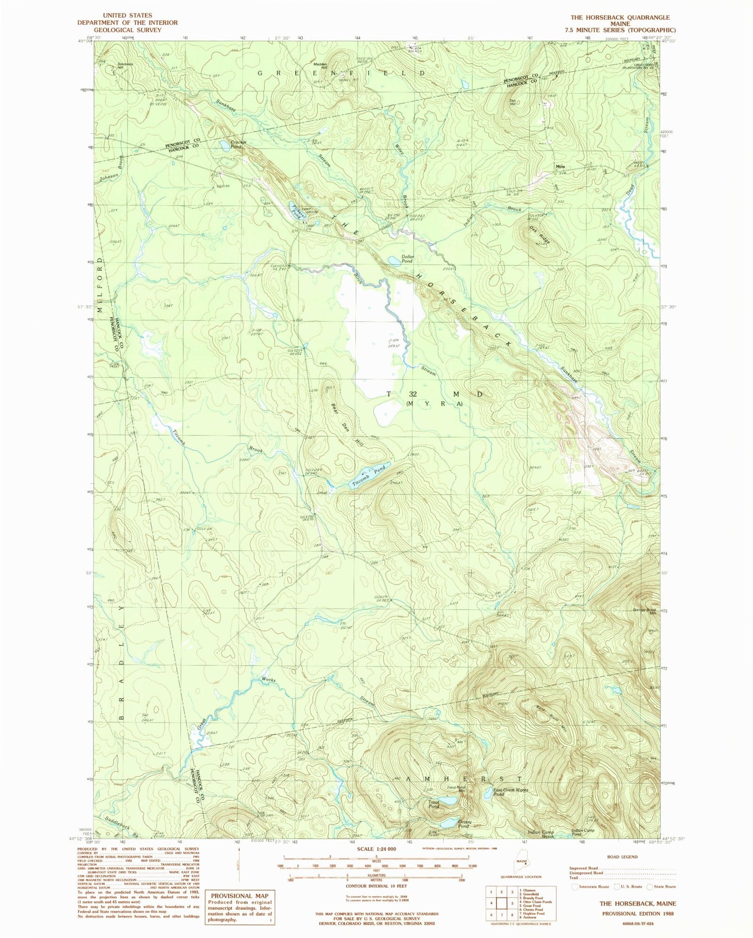
MyTopo
Classic USGS The Horseback Maine 7.5'x7.5' Topo Map
Couldn't load pickup availability
Historical USGS topographic quad map of The Horseback in the state of Maine. Map scale may vary for some years, but is generally around 1:24,000. Print size is approximately 24" x 27"
This quadrangle is in the following counties: Hancock, Penobscot.
The map contains contour lines, roads, rivers, towns, and lakes. Printed on high-quality waterproof paper with UV fade-resistant inks, and shipped rolled.
Contains the following named places: Bald Bluff Mountain, Bear Den Hill, Bragg Camp, Crocker Pond, Dollar Pond, East Great Works Pond, Grassy Pond, Indian Brook, Jackson Cemetery, Madden Hill, Myra, Oak Ridge, Pickerel Pond, Saddleback Brook, Simmons Hill, T32 MD BPP, Ten Hill, The Horseback, Titcomb Pond, Trout Pond, Trout Pond Mountain, Unorganized Territory of Northwest Hancock, Wiley Brook