MyTopo
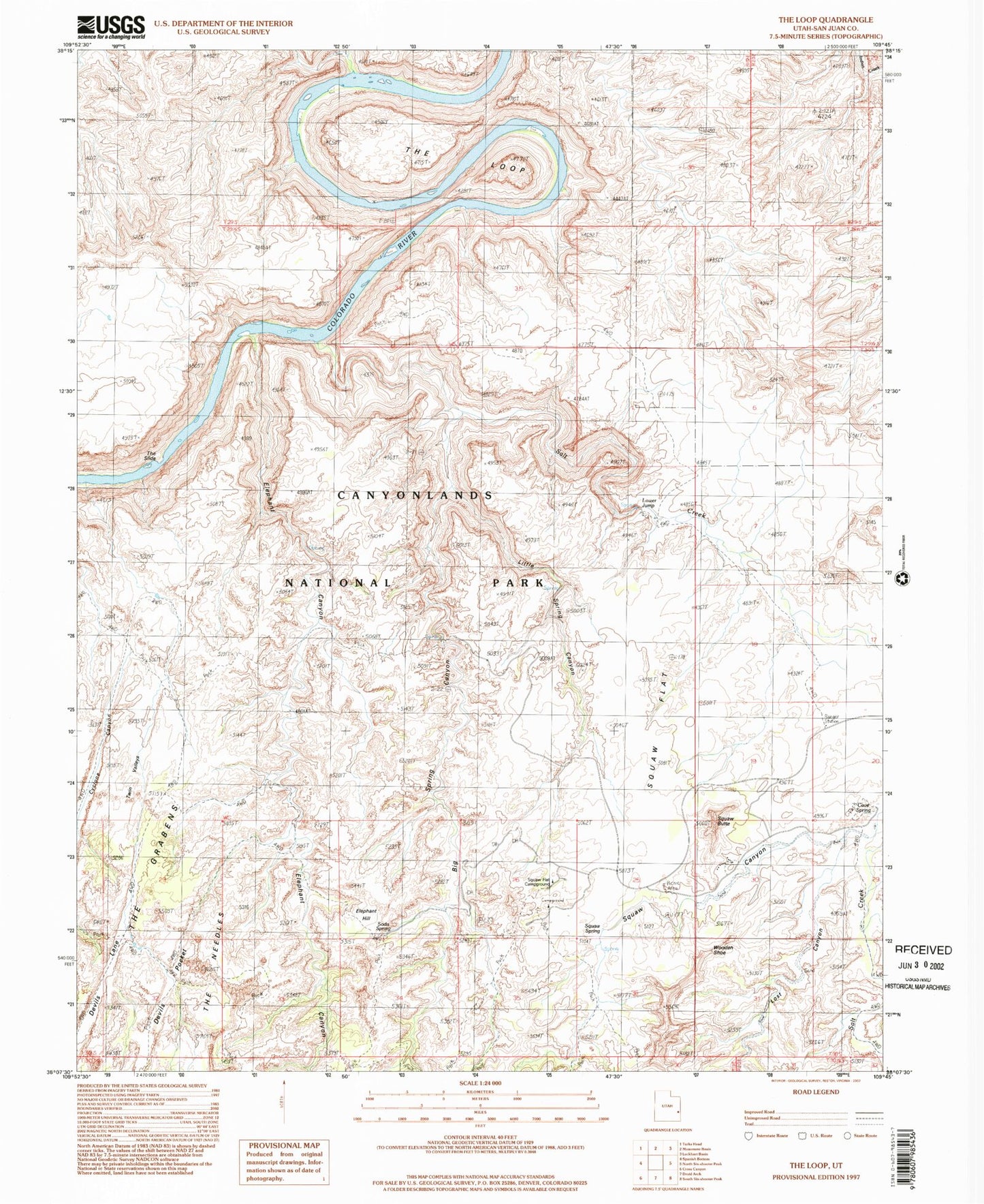
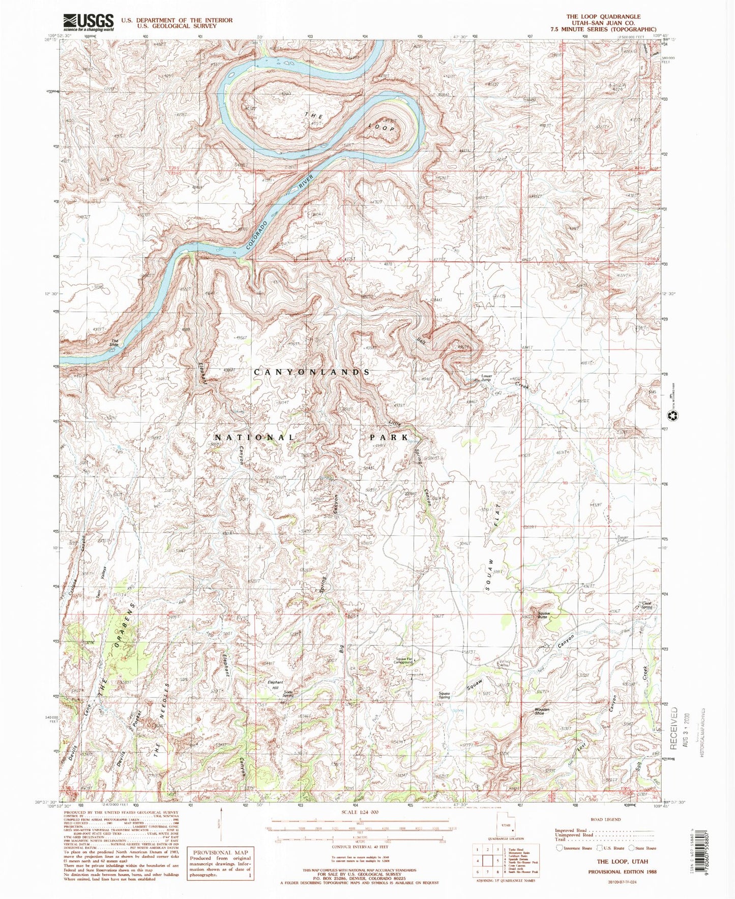
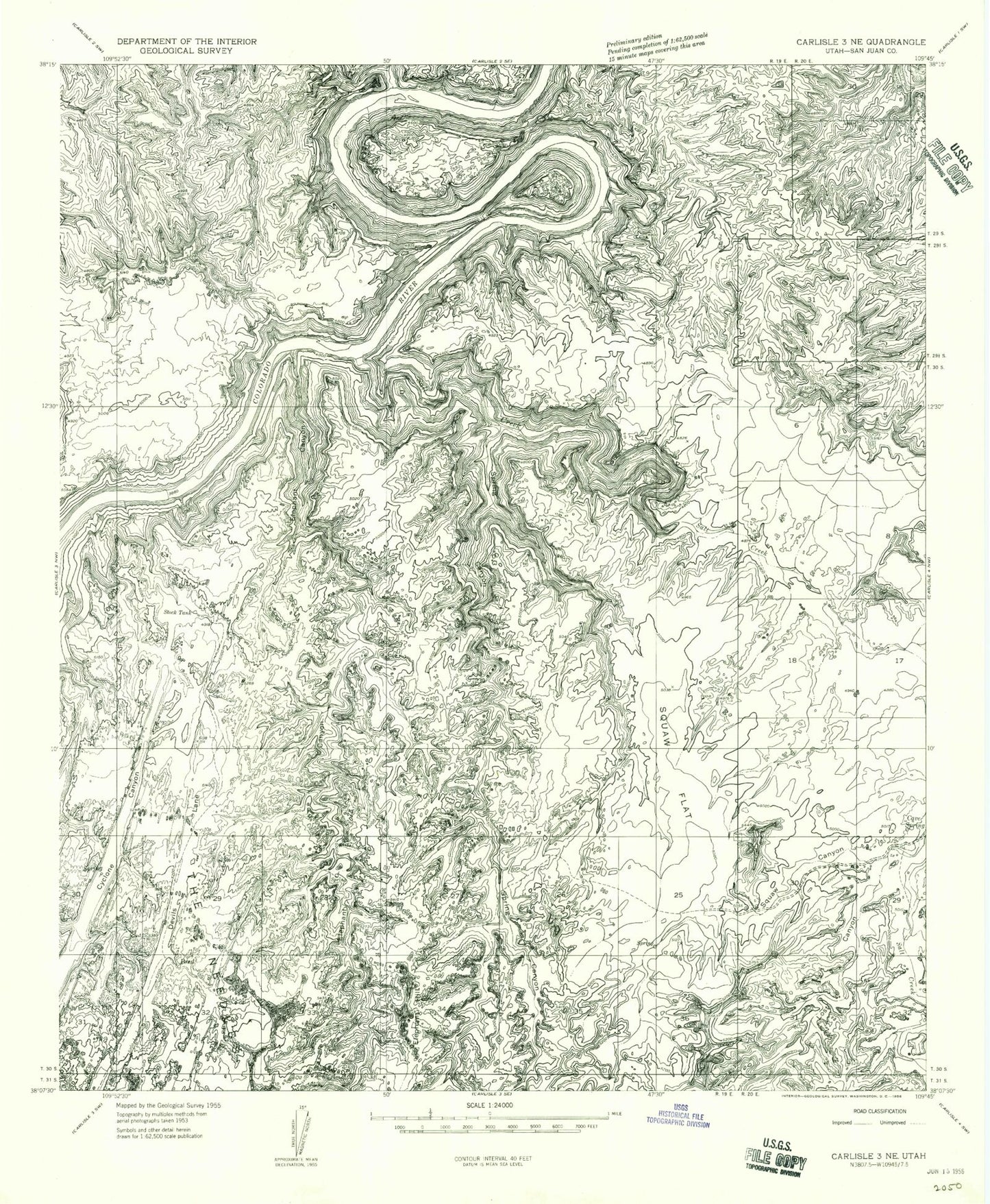
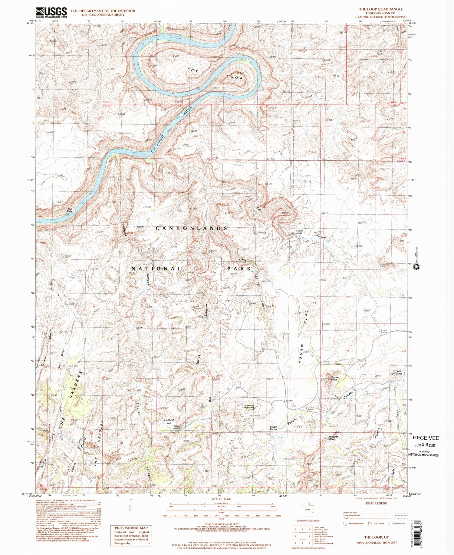
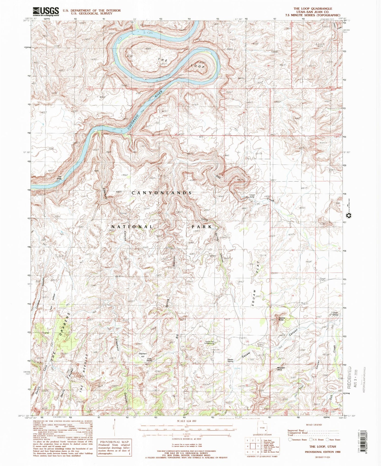
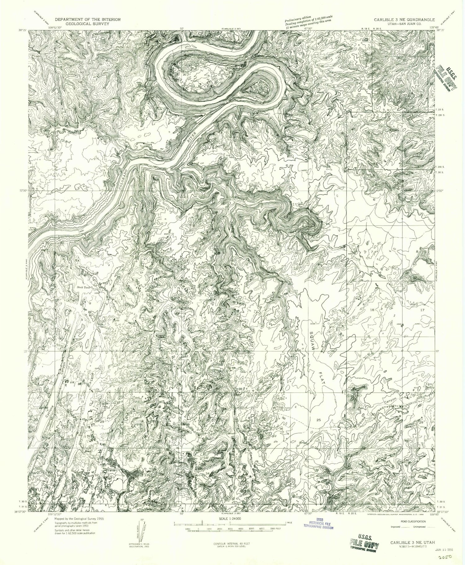
Classic USGS The Loop Utah 7.5'x7.5' Topo Map
Couldn't load pickup availability
Historical USGS topographic quad map of The Loop in the state of Utah. Typical map scale is 1:24,000, but may vary for certain years, if available. Print size: 24" x 27"
This quadrangle is in the following counties: San Juan.
The map contains contour lines, roads, rivers, towns, and lakes. Printed on high-quality waterproof paper with UV fade-resistant inks, and shipped rolled.
Contains the following named places: Cave Spring, Cyclone Canyon, Devils Lane, Elephant Canyon, Elephant Hill, Lost Canyon, Big Spring Canyon, Squaw Canyon, Squaw Flat, Devils Pocket, Little Spring Canyon, Soda Spring, Squaw Spring, The Loop, Wooden Shoe, Twin Valleys, Big Spring Canyon Overlook, Cave Spring Trail, Colorado River Overlook, Devils Pocket, Pothole Point, Silver Stairs, Twin Valleys, Salt Creek, Devils Canyon, The Needles Ranger Station, The Slide, Soda Spring, Squaw Flat Campground, Lower Jump, Squaw Butte, Canyonlands National Park Needles Fire District, Cave Spring, Cyclone Canyon, Devils Lane, Elephant Canyon, Elephant Hill, Lost Canyon, Big Spring Canyon, Squaw Canyon, Squaw Flat, Devils Pocket, Little Spring Canyon, Soda Spring, Squaw Spring, The Loop, Wooden Shoe, Twin Valleys, Big Spring Canyon Overlook, Cave Spring Trail, Colorado River Overlook, Devils Pocket, Pothole Point, Silver Stairs, Twin Valleys, Salt Creek, Devils Canyon, The Needles Ranger Station, The Slide, Soda Spring, Squaw Flat Campground, Lower Jump, Squaw Butte, Canyonlands National Park Needles Fire District
