MyTopo
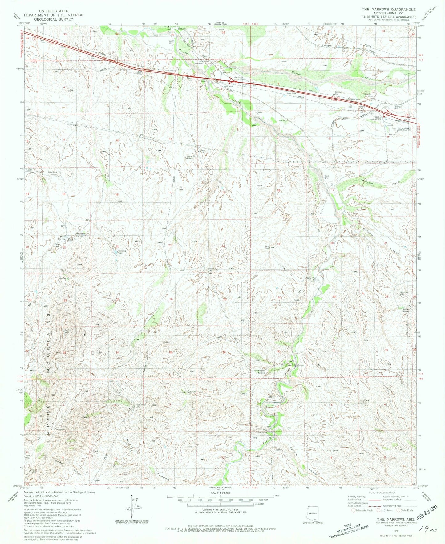
Classic USGS The Narrows Arizona 7.5'x7.5' Topo Map
Couldn't load pickup availability
Historical USGS topographic quad map of The Narrows in the state of Arizona. Typical map scale is 1:24,000, but may vary for certain years, if available. Print size: 24" x 27"
This quadrangle is in the following counties: Pima.
The map contains contour lines, roads, rivers, towns, and lakes. Printed on high-quality waterproof paper with UV fade-resistant inks, and shipped rolled.
Contains the following named places: Amole Overpass, Anderson Canyon, Apache Canyon, Bobo Spring, Fresno Canyon, Mescal Arroyo, Mescal Spring, Murphy Ranch, Pantano, Pantano Underpass, Pump Canyon, Siemond Ranch, Smitty Spring, The Narrows, Total Wreck Mine, Wakefield Canyon, Alfalfa Well, Bootlegger Spring, Bootlegger Well, Chimenea Well, Gary Well, Hilton Mine, Pantano Railroad Station, Pantano Substation, Silver Tank, La Cienega, Beckys Spring


