MyTopo
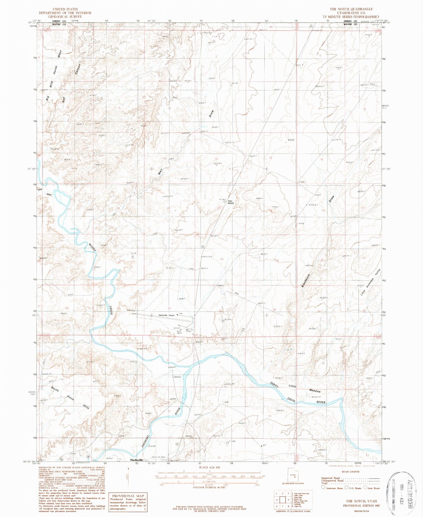
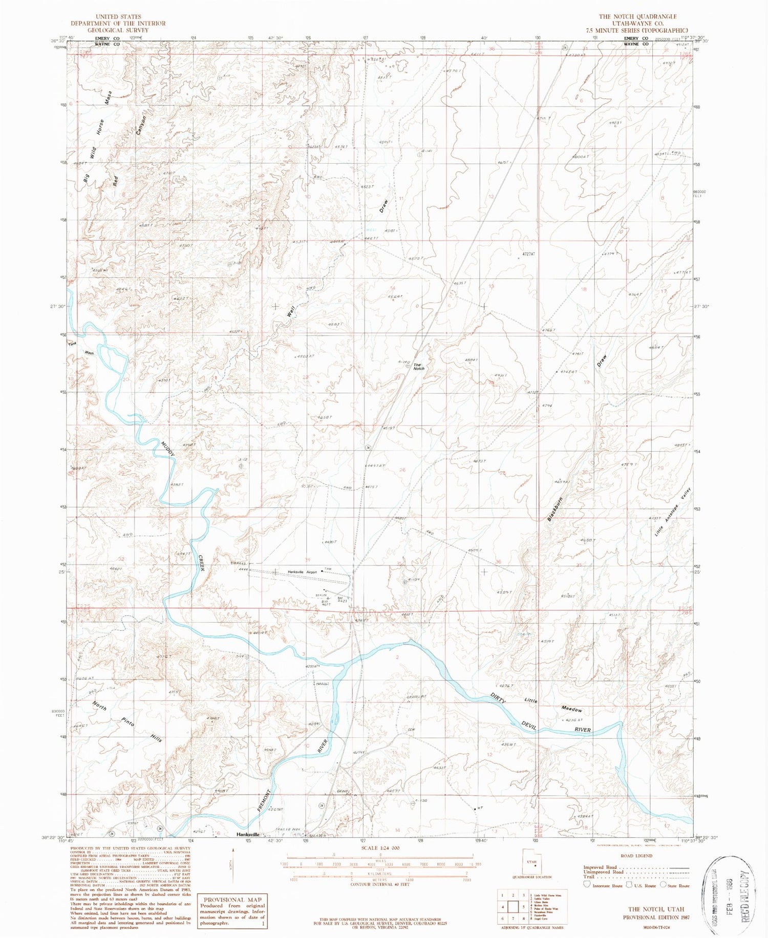
Classic USGS The Notch Utah 7.5'x7.5' Topo Map
Regular price
$16.95
Regular price
Sale price
$16.95
Unit price
per
Couldn't load pickup availability
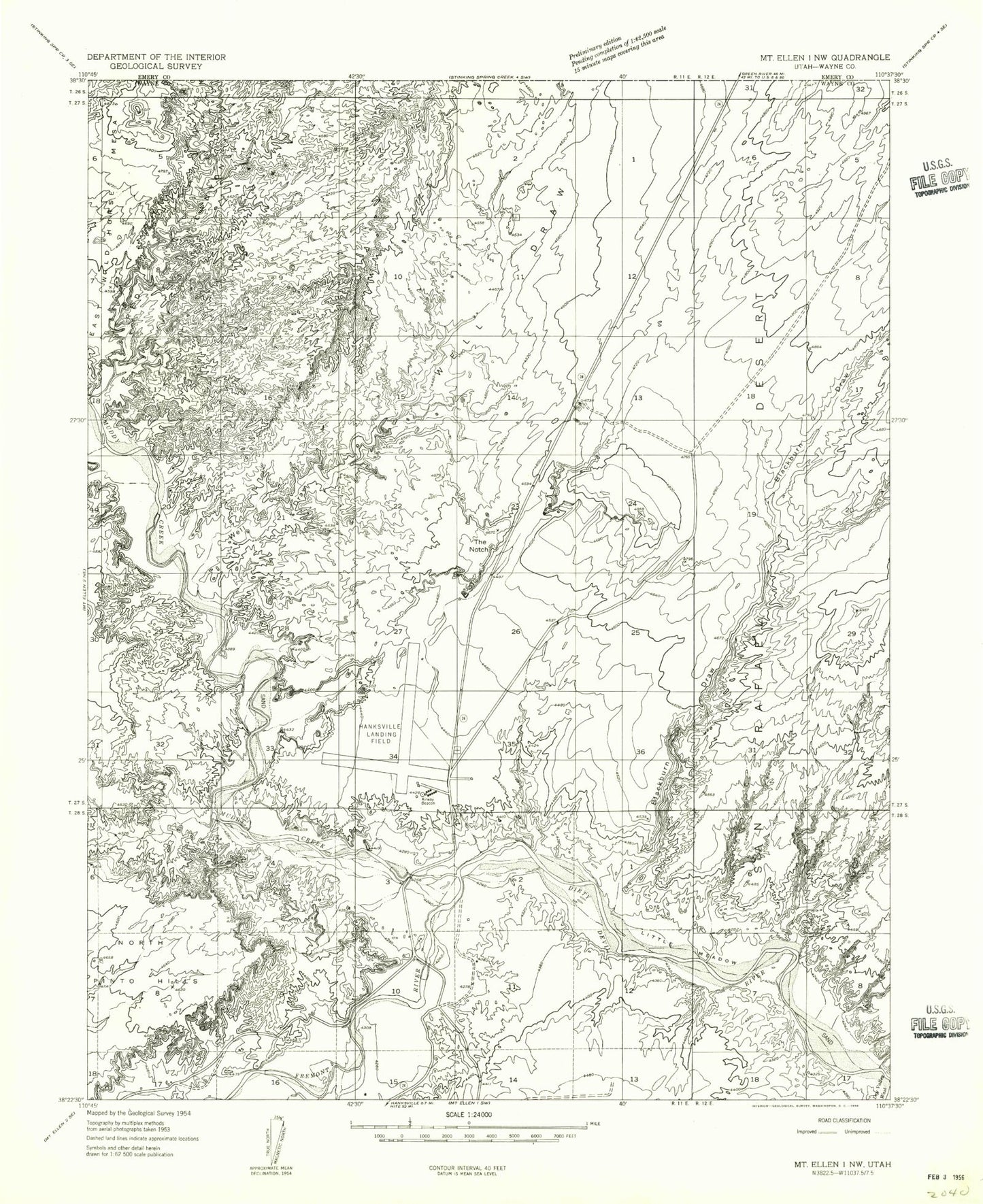
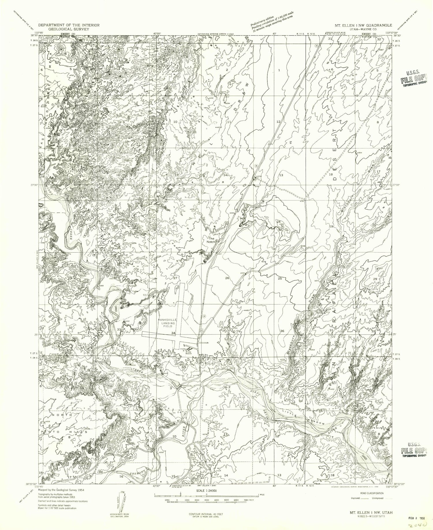
Historical USGS topographic quad map of The Notch in the state of Utah. Map scale may vary for some years, but is generally around 1:24,000. Print size is approximately 24" x 27"
This quadrangle is in the following counties: Emery, Wayne.
The map contains contour lines, roads, rivers, towns, and lakes. Printed on high-quality waterproof paper with UV fade-resistant inks, and shipped rolled.
Contains the following named places: Blackburn Draw, Bull Creek, Dry Valley Wash, Fremont River, Hanksville Airport, Hanksville Cemetery, Little Meadow, Muddy Creek, North Pinto Hills, Red Rock Campground, The Notch, Well Draw