MyTopo
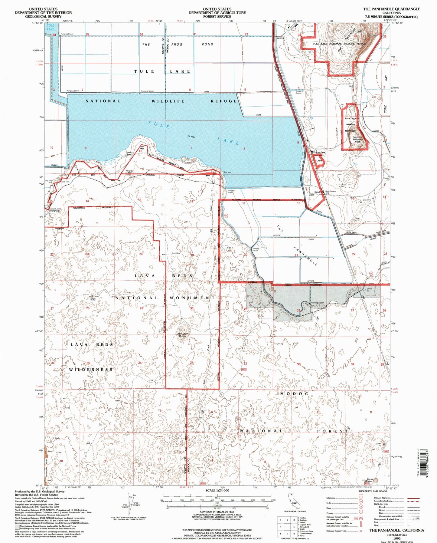
Classic USGS The Panhandle California 7.5'x7.5' Topo Map
Regular price
$16.95
Regular price
Sale price
$16.95
Unit price
per
Couldn't load pickup availability
Historical USGS topographic quad map of The Panhandle in the state of California. Map scale may vary for some years, but is generally around 1:24,000. Print size is approximately 24" x 27"
This quadrangle is in the following counties: Modoc, Siskiyou.
The map contains contour lines, roads, rivers, towns, and lakes. Printed on high-quality waterproof paper with UV fade-resistant inks, and shipped rolled.
Contains the following named places: Big Crack, East Wildlife Overlook, Guano Bridge, Hannchen, Hospital Rock, Juniper Butte, Kandra, Liskey, Lyons Trail, Prisoners Rock, Suty, The Panhandle, Twin Sister, West Wildlife Overlook, ZIP Code: 96134