MyTopo
Classic USGS The Park Wyoming 7.5'x7.5' Topo Map
Regular price
$16.95
Regular price
Sale price
$16.95
Unit price
per
Couldn't load pickup availability
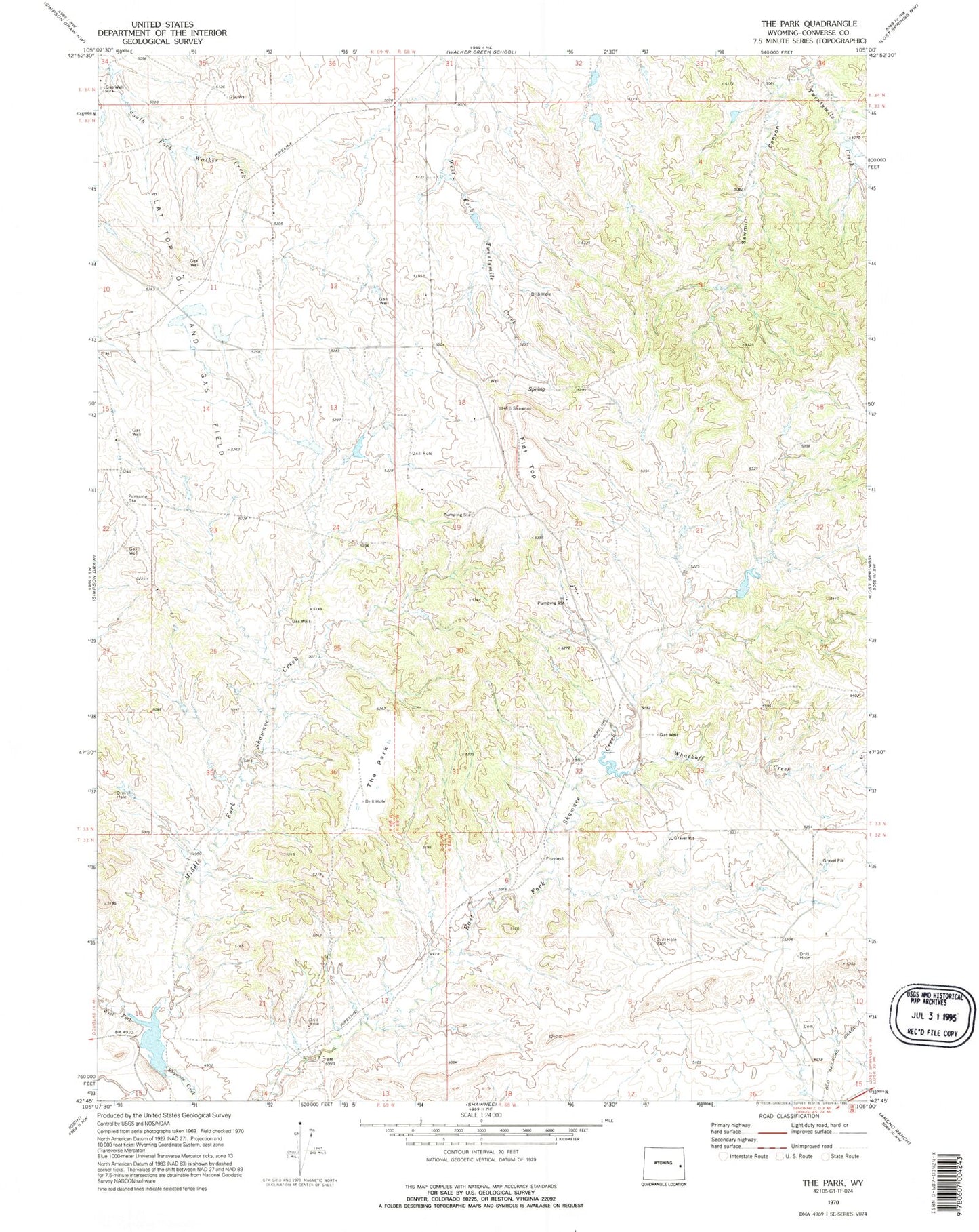
Historical USGS topographic quad map of The Park in the state of Wyoming. Map scale may vary for some years, but is generally around 1:24,000. Print size is approximately 24" x 27"
This quadrangle is in the following counties: Converse.
The map contains contour lines, roads, rivers, towns, and lakes. Printed on high-quality waterproof paper with UV fade-resistant inks, and shipped rolled.
Contains the following named places: Flat Top, Flat Top Oil and Gas Field, Hageman Number 2 Dam, Hageman Number 2 Reservoir, Henry Reese Fee Land Mine, Lost Springs Mine, Middle Fork Shawnee Creek, Sawmill Canyon, Shawnee Cemetery, The Park, Whackoff Creek, Wintermote Number 1 Dam, Wintermote Number 1 Reservoir