MyTopo
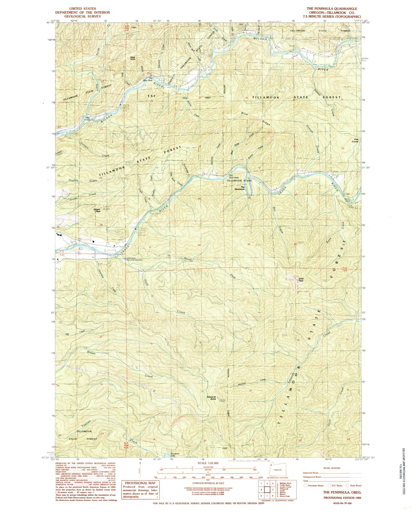
Classic USGS The Peninsula Oregon 7.5'x7.5' Topo Map
Couldn't load pickup availability
Historical USGS topographic quad map of The Peninsula in the state of Oregon. Map scale may vary for some years, but is generally around 1:24,000. Print size is approximately 24" x 27"
This quadrangle is in the following counties: Tillamook.
The map contains contour lines, roads, rivers, towns, and lakes. Printed on high-quality waterproof paper with UV fade-resistant inks, and shipped rolled.
Contains the following named places: Bill Creek, Blue Ridge, Blue Ridge Creek, Burton Creek, Cedar Creek, Chance Creek, Charles Sprague Memorial Wayside, Deadman Creek, Demoley Wilson County Park, Deswort Dairy, Edwards Butte, Fern Creek, Fish Corner, Ginger Peak, Gold Creek, Gold Peak, Hanenkrat Creek, Hatchery Creek, Kansas Creek, Little North Fork Wilson River, Little Rock Creek, Lorens Drift Boat Launch, Lower Peninsula / Last Chance, Mills Bridge, Mills Bridge County Drift Boat Launch, Ming Creek, Ming Point, Mining Creek, Negro Jack Creek, North Fork Gold Creek, Panther Creek, Peninsula Day-Use Area, Rawe Creek, Samson Creek, Sheridan Creek, Siskeyville, Siskeyville County Pole Slide Drift Boat Launch, Slide Creek, Smith Creek, Stone Camp Pole Slide Boat Launch, Stones Gap, Stones Road Boat Launch, Sylvan Creek, The Blue Hole, The Dam Hole, The Peninsula, Tillamook Division, Tillison Creek, Trask River State Fish Hatchery, Trowbridge Creek, Upper Peninsula Pole Slide Boat Ramp, Zig Zag Creek