MyTopo
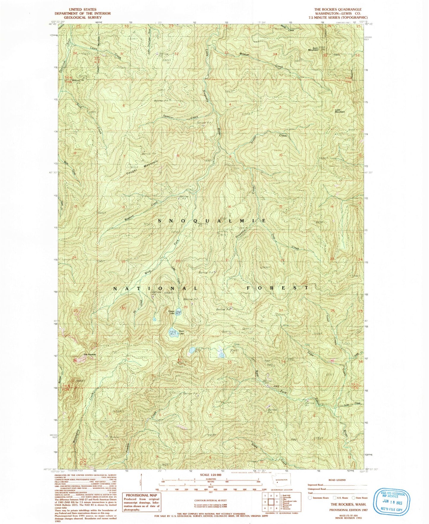
Classic USGS The Rockies Washington 7.5'x7.5' Topo Map
Couldn't load pickup availability
Historical USGS topographic quad map of The Rockies in the state of Washington. Map scale may vary for some years, but is generally around 1:24,000. Print size is approximately 24" x 27"
This quadrangle is in the following counties: Lewis.
The map contains contour lines, roads, rivers, towns, and lakes. Printed on high-quality waterproof paper with UV fade-resistant inks, and shipped rolled.
Contains the following named places: Buck Creek, Cougar Mountain, Duck Lake, Eagle Creek, Fly Creek, Goose Lake, Hiawatha Creek, Ladd Lookout, Ladd Mountain, Lake Creek, Lewis Creek, Lincoln Creek, Mineral Division, Petite Lake, Scatter Creek, Soap Creek, Soos Creek, Spencer Creek, Stahl Mountain, The Rockies, Trap Creek, Trout Creek, West Fork Little Nisqually River, Wildcat Creek, Winston Creek