MyTopo
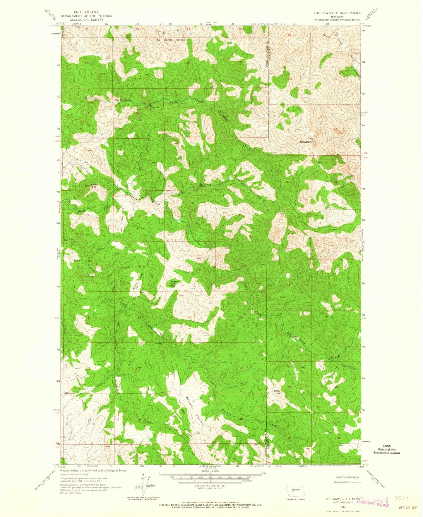
Classic USGS The Sawteeth Montana 7.5'x7.5' Topo Map
Regular price
$16.95
Regular price
Sale price
$16.95
Unit price
per
Couldn't load pickup availability
Historical USGS topographic quad map of The Sawteeth in the state of Montana. Map scale may vary for some years, but is generally around 1:24,000. Print size is approximately 24" x 27"
This quadrangle is in the following counties: Cascade, Lewis and Clark.
The map contains contour lines, roads, rivers, towns, and lakes. Printed on high-quality waterproof paper with UV fade-resistant inks, and shipped rolled.
Contains the following named places: Baldy, Browns Flat, Frazier Creek, Little Stickney Creek, Mount Rowe, The Devils Kitchen, The Painted Rock, The Sawteeth, The Twin Sisters, Timber Hill, Whitetail Prairie