MyTopo
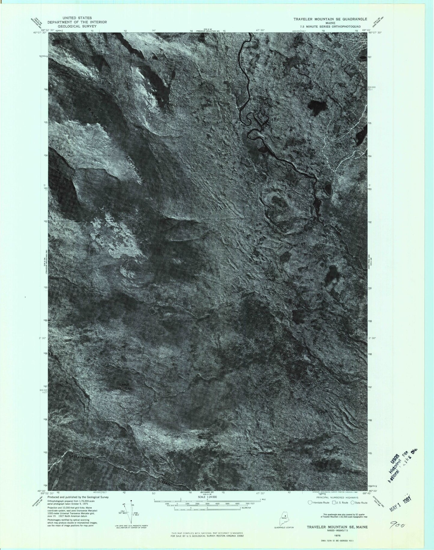
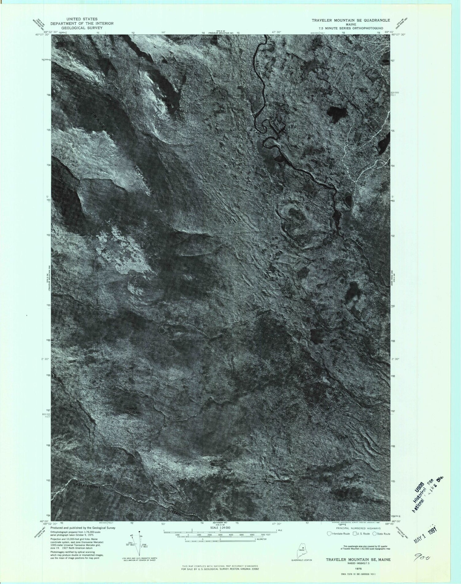
Classic USGS The Traveler Maine 7.5'x7.5' Topo Map
Couldn't load pickup availability
Historical USGS topographic quad map of The Traveler in the state of Maine. Typical map scale is 1:24,000, but may vary for certain years, if available. Print size: 24" x 27"
This quadrangle is in the following counties: Penobscot, Piscataquis.
The map contains contour lines, roads, rivers, towns, and lakes. Printed on high-quality waterproof paper with UV fade-resistant inks, and shipped rolled.
Contains the following named places: Atwood Pond, Bald Mountain, Barrell Ridge, Billfish Mountain, Grand Falls, Haskell Deadwater, Haskell Rock Pitch, Hathorn Pond, Kimball Pond, Little Fowler Pond, Little Messer Pond, Messer Pond, Middle Fowler Pond, North Traveler Mountain, Norway Falls, Pogy Brook, Pond Pitch, Sable Mountain, South Traveler Mountain, Stair Falls, The Oxbow, The Traveler, Townline Brook, Traveler Gap, Traveler Mountain, Traveler Pond, Old City, T5 R8 WELS