MyTopo
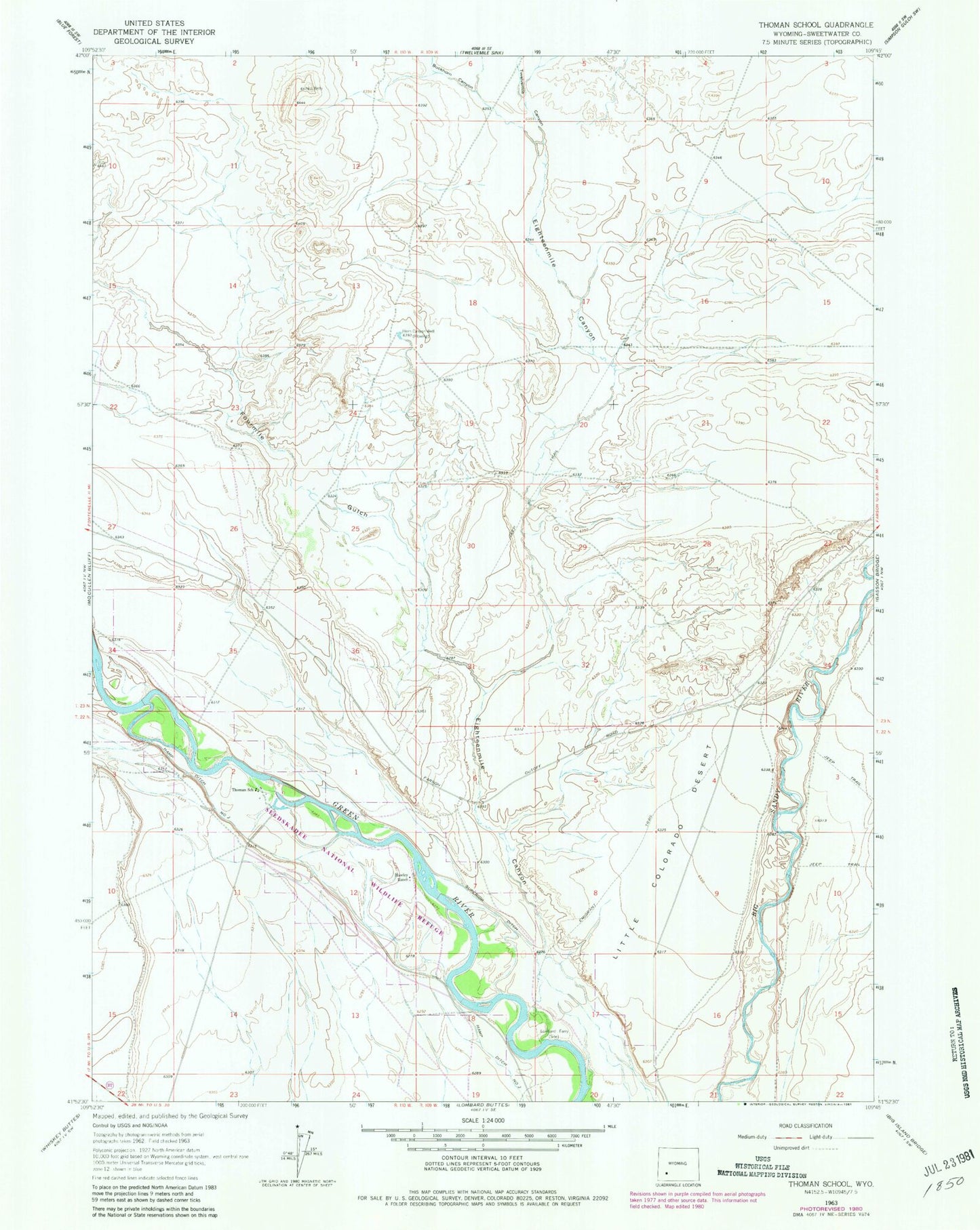
Classic USGS Thoman School Wyoming 7.5'x7.5' Topo Map
Regular price
$16.95
Regular price
Sale price
$16.95
Unit price
per
Couldn't load pickup availability
Historical USGS topographic quad map of Thoman School in the state of Wyoming. Map scale may vary for some years, but is generally around 1:24,000. Print size is approximately 24" x 27"
This quadrangle is in the following counties: Sweetwater.
The map contains contour lines, roads, rivers, towns, and lakes. Printed on high-quality waterproof paper with UV fade-resistant inks, and shipped rolled.
Contains the following named places: Buckhorn Canyon, Eighteenmile Canyon, Emigrant Trail, Fourmile Gulch, Hamp Ditch Number 2, Hawley Ranch, Horn Canyon Well, Little Colorado Desert, Lombard Canyon, Lombard Ferry, Superior Ditch, Thoman School, Twelvemile Canyon