MyTopo
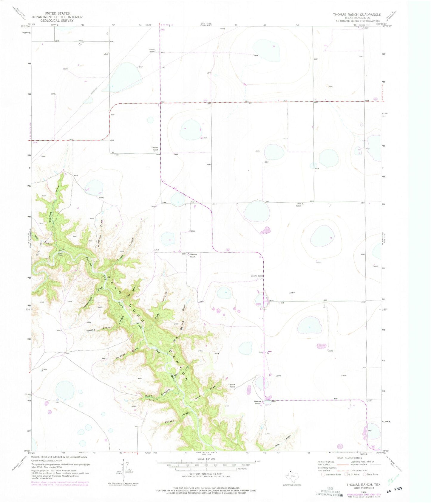
Classic USGS Thomas Ranch Texas 7.5'x7.5' Topo Map
Couldn't load pickup availability
Historical USGS topographic quad map of Thomas Ranch in the state of Texas. Map scale may vary for some years, but is generally around 1:24,000. Print size is approximately 24" x 27"
This quadrangle is in the following counties: Armstrong, Randall.
The map contains contour lines, roads, rivers, towns, and lakes. Printed on high-quality waterproof paper with UV fade-resistant inks, and shipped rolled.
Contains the following named places: Blue Spring Draw, Chalk Hollow, Deep Canyon, Dugout Draw, Evans Aerodrome, Flat Canyon, Forked Draw, Irvin Ranch, Little Draw, Little Falls, Nameless Draw, Owens Ranch, Post Draw, Smoot Ranch, Sorelle Ranch, Spring Branch, Stevens Ranch, Stub Draw, Thomas Draw, Thomas Ranch, Upshaw Ranch, West Fork Prairie Dog Town Fork Red River, Windmill Draw, ZIP Code: 79118