MyTopo
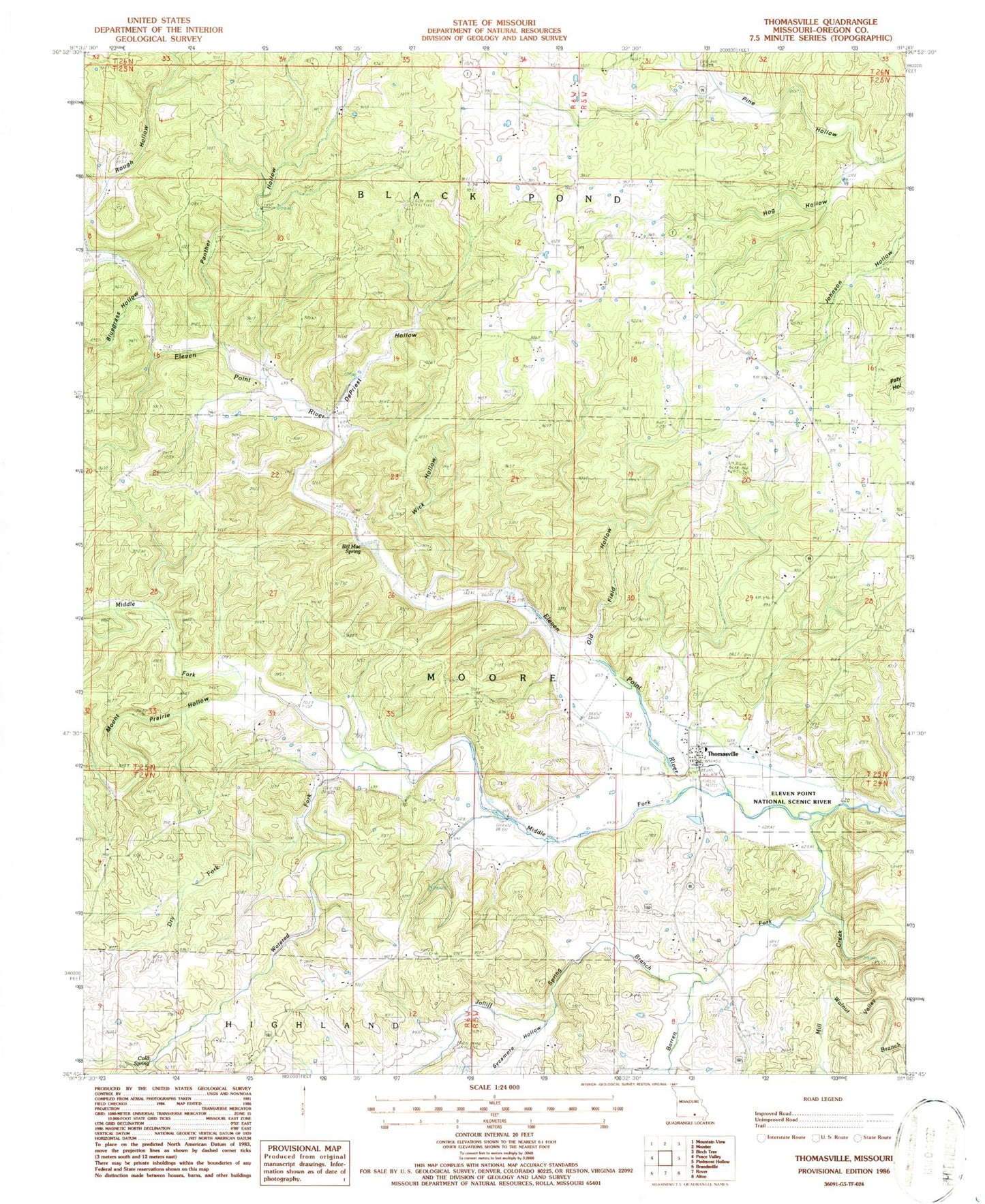
Classic USGS Thomasville Missouri 7.5'x7.5' Topo Map
Couldn't load pickup availability
Historical USGS topographic quad map of Thomasville in the state of Missouri. Map scale may vary for some years, but is generally around 1:24,000. Print size is approximately 24" x 27"
This quadrangle is in the following counties: Oregon.
The map contains contour lines, roads, rivers, towns, and lakes. Printed on high-quality waterproof paper with UV fade-resistant inks, and shipped rolled.
Contains the following named places: Barren Fork, Bellah Cemetery, Bill Mac Spring, Bluegrass Hollow, Cold Spring, De Priest Hollow, Dry Fork, Jolliff Spring Branch, Knob Hill School, Lane Cemetery, Middle Fork Eleven Point River, Mill Creek, Mount Prairie Branch, Mount Prairie Hollow, Old Field Hollow, Olds Mill, Panther Hollow, Pine Hill Church, Pine Hollow, Seven Points Hills, Sherwood Reese Ranch, Sycamore Hollow, Thomasville, Thomasville Census Designated Place, Thomasville Rural Fire Department, Township of Black Pond, Township of Moore, Walnut Valley Branch, Watered Fork, Wick Hollow


