MyTopo
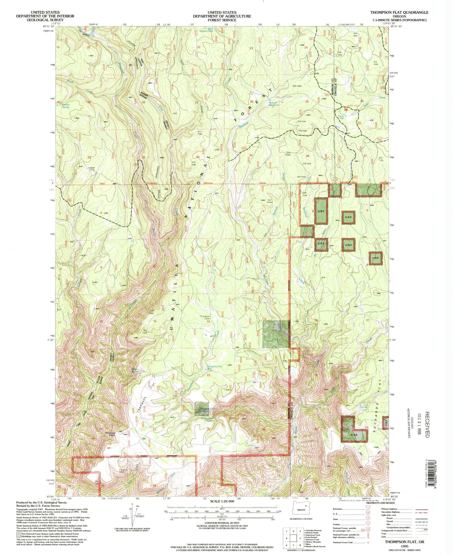
Classic USGS Thompson Flat Oregon 7.5'x7.5' Topo Map
Couldn't load pickup availability
Historical USGS topographic quad map of Thompson Flat in the state of Oregon. Map scale may vary for some years, but is generally around 1:24,000. Print size is approximately 24" x 27"
This quadrangle is in the following counties: Morrow, Umatilla.
The map contains contour lines, roads, rivers, towns, and lakes. Printed on high-quality waterproof paper with UV fade-resistant inks, and shipped rolled.
Contains the following named places: Bonita Spring, Brush Creek, Deep Creek, Divide Well, Divide Well Recreation Site, Dry Matlock Creek, Ellis Creek, Florence Cabin, Gilbert Creek, Groshen Trail, Hunter Spring, Juniper Camp, Matlock Creek, Matlock Water Hole Camp, Matlock Waterhole, No Name Creek, Pole Creek, Potamus Point, Rush Creek, Scaffold Creek, Section Line Trail, Thompson Corral, Thompson Creek, Thompson Falls, Thompson Falls Spring, Thompson Flat, Thompson Flat Well, West Gopher Pond, Zion Scope


