MyTopo
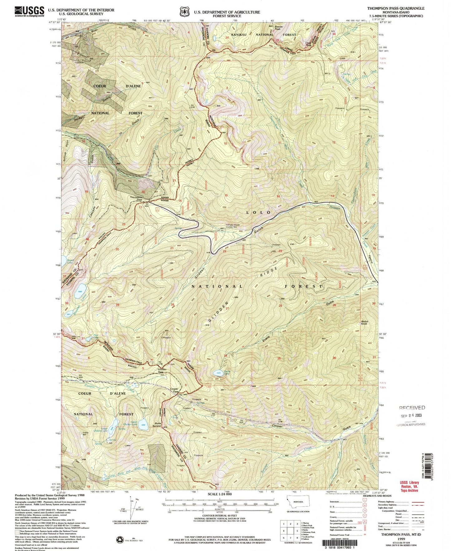
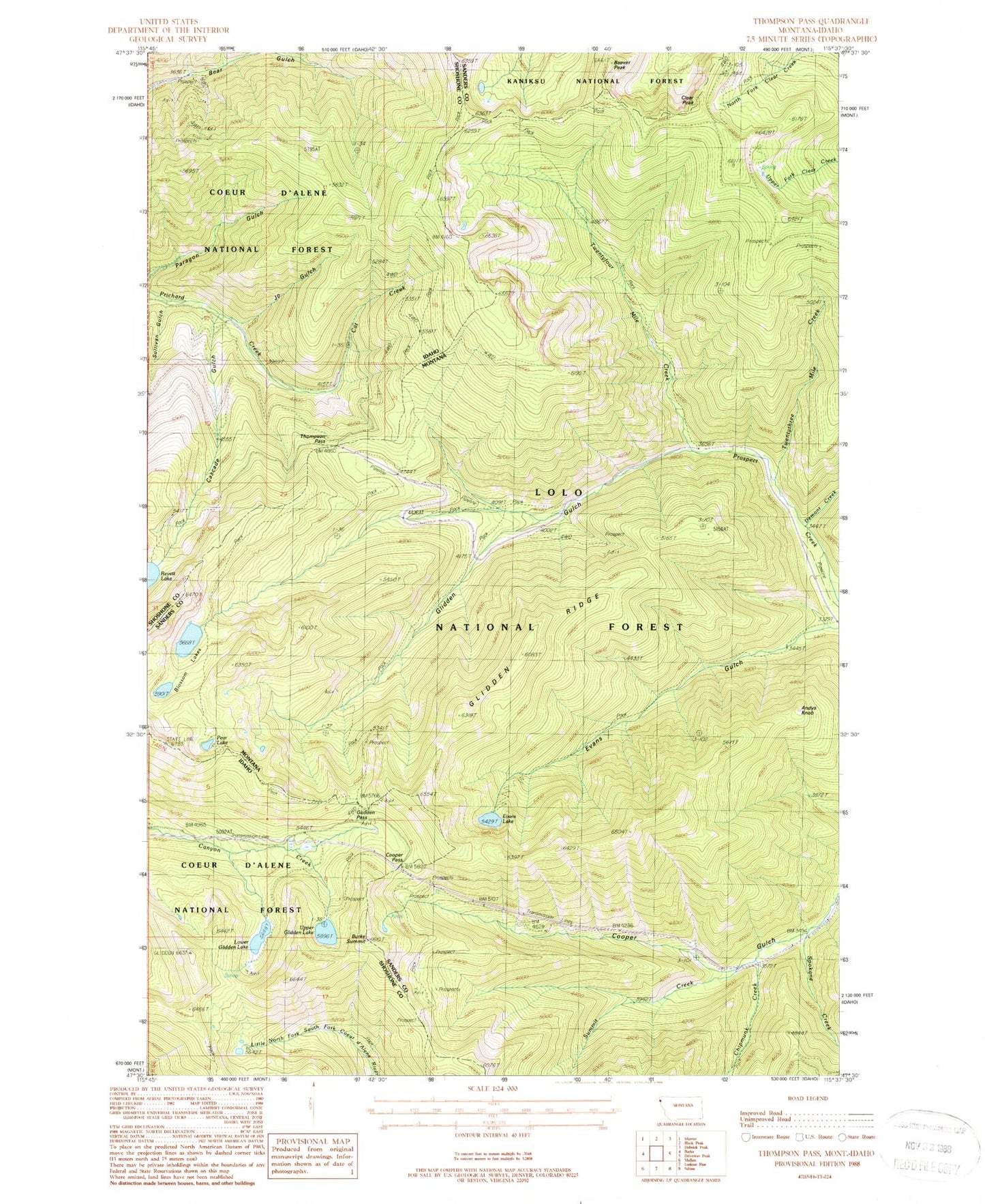
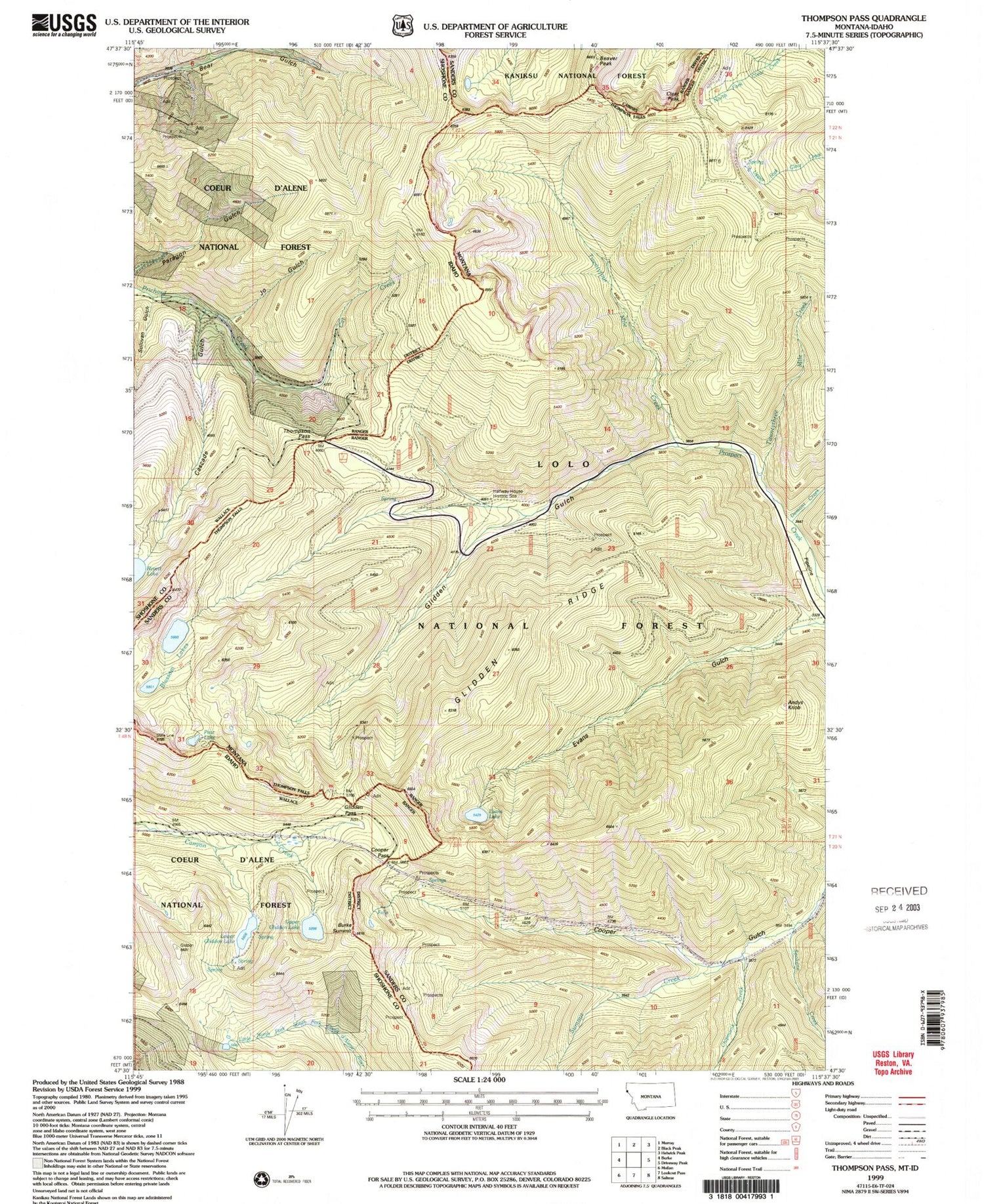
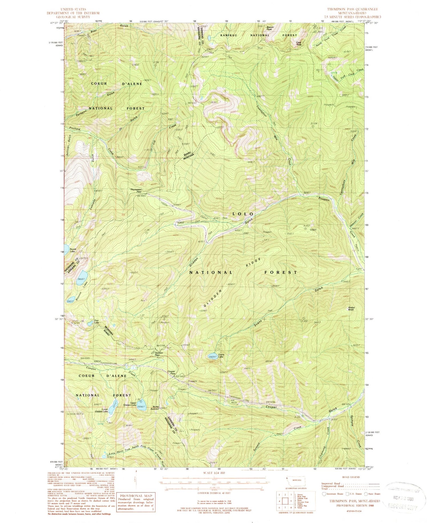
Classic USGS Thompson Pass Montana 7.5'x7.5' Topo Map
Couldn't load pickup availability
Historical USGS topographic quad map of Thompson Pass in the states of Montana, Idaho. Typical map scale is 1:24,000, but may vary for certain years, if available. Print size: 24" x 27"
This quadrangle is in the following counties: Sanders, Shoshone.
The map contains contour lines, roads, rivers, towns, and lakes. Printed on high-quality waterproof paper with UV fade-resistant inks, and shipped rolled.
Contains the following named places: Andys Knob, Beaver Peak, Blossom Lakes, Clear Peak, Evans Gulch, Evans Lake, Glidden Gulch, Glidden Ridge, Pear Lake, Twentyfour Mile Creek, Twentythree Mile Creek, Chipmunk Creek, Demont Creek, Spokane Creek, Summit Creek, Halfway House Historical SIte, Beaver Lake, Burke Summit, Halfway House Historical Site, Cooper Creek Mine, Sonju Mine, Bull Frog Mine, Arlington Mine, Cascade Gulch, Cooper Pass, Glidden Pass, Thompson Pass, Cat Creek, Upper Glidden Lake, Lower Glidden Lake, Jo Gulch, Sullivan Gulch


