MyTopo
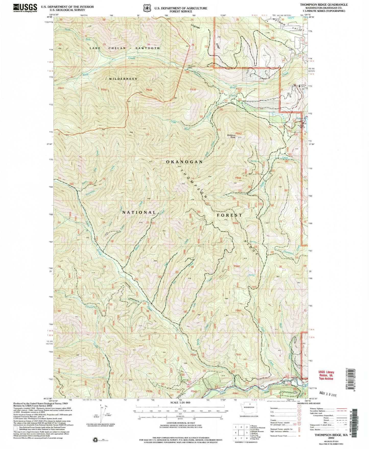
Classic USGS Thompson Ridge Washington 7.5'x7.5' Topo Map
Couldn't load pickup availability
Historical USGS topographic quad map of Thompson Ridge in the state of Washington. Map scale may vary for some years, but is generally around 1:24,000. Print size is approximately 24" x 27"
This quadrangle is in the following counties: Okanogan.
The map contains contour lines, roads, rivers, towns, and lakes. Printed on high-quality waterproof paper with UV fade-resistant inks, and shipped rolled.
Contains the following named places: Burnt Saw Creek, Cabin Creek, Coal Creek, Cow Creek, Deer Creek, Dry Creek, Gobblers Knob, Graff Creek, Little Bridge Creek, Little Wolf Creek, Myer Creek, Newby Creek, North Fork Wolf Creek, Patterson Lake Dam, Sheep Creek, Spring Creek, Thompson Ridge, Valentine Creek, Vetch Creek, Wolf Creek Research Natural Area