MyTopo
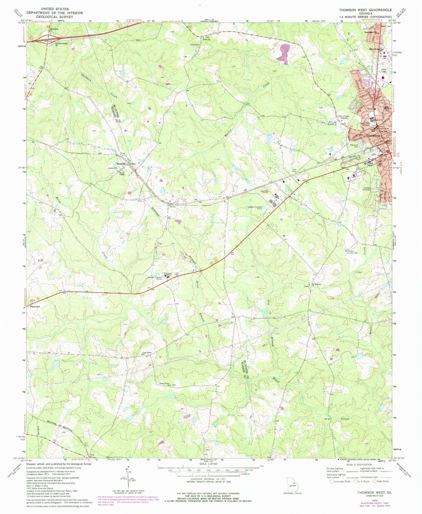
Classic USGS Thomson West Georgia 7.5'x7.5' Topo Map
Couldn't load pickup availability
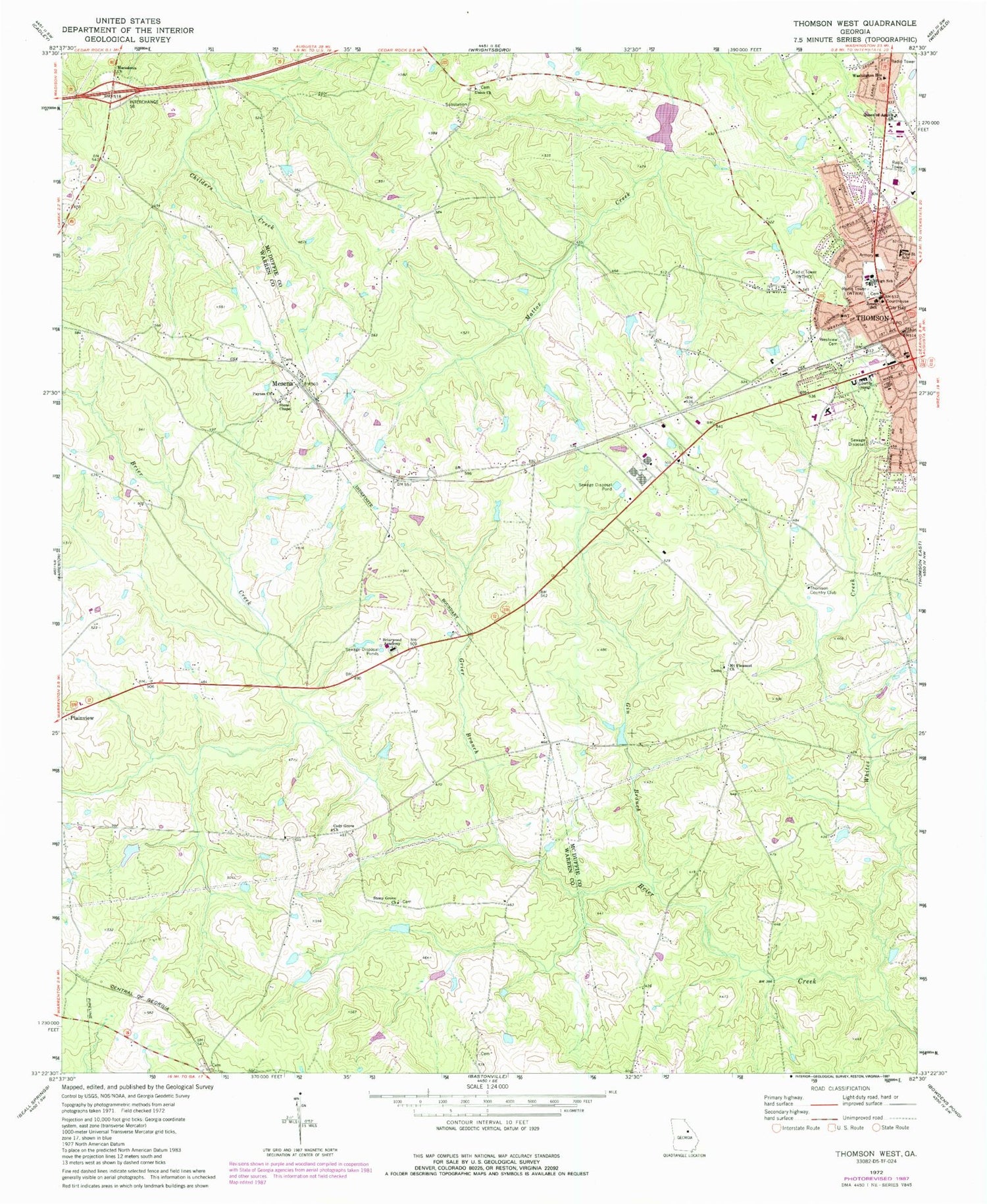
Historical USGS topographic quad map of Thomson West in the state of Georgia. Map scale may vary for some years, but is generally around 1:24,000. Print size is approximately 24" x 27"
This quadrangle is in the following counties: McDuffie, Warren.
The map contains contour lines, roads, rivers, towns, and lakes. Printed on high-quality waterproof paper with UV fade-resistant inks, and shipped rolled.
Contains the following named places: Briarwood Academy, Cody Cemetery, Cody Grove Cemetery, Cody Grove Church, David Neal Senior Cemetery, Dorsey Cemetery, First Methodist Church, Foster Cemetery, Gheesling Cemetery, Gin Branch, Grier Branch, Hardaway Cemetery, Jimmerson Branch, Johnson Cemetery, Jones School, Joseph McMath Cemetery, Macedonia Church, Matthews Cemetery, Maxwell Elementary School, Mayes Cemetery, McDuffie County Courthouse, McDuffie Regional Medical Center, McNeil Dam, McNeil Pond, Mesena, Mesena Cemetery, Mesena Post Office, Mesena United Methodist Church, Mount Pleasant Cemetery, Mount Pleasant Church, Mount Pleasant School, New Hope Cemetery, Paynes Church, Pine Street School, Queen of Angels Church, Ricketson Cemetery, Society Cemetery, Springfield Cemetery, Stone Chapel, Stone Chapel Cemetery, Stoney Grove Cemetery, Stony Grove Church, Story Cemetery, Thomson, Thomson City Cemetery, Thomson City Hall, Thomson Commercial Historic District, Thomson Country Club, Thomson Elementary School, Thomson Fire Department, Thomson Middle School, Thomson Police Department, Thomson Post Office, Thomson-McDuffie County Library, Union Cemetery, Union Church, Warrenton Division, Washington Heights Church, Westview Cemetery, Whites Creek, WTHO-FM (Thomson), WTWA-AM (Thomson)


