MyTopo
Classic USGS Thor SE Minnesota 7.5'x7.5' Topo Map
Regular price
$16.95
Regular price
Sale price
$16.95
Unit price
per
Couldn't load pickup availability
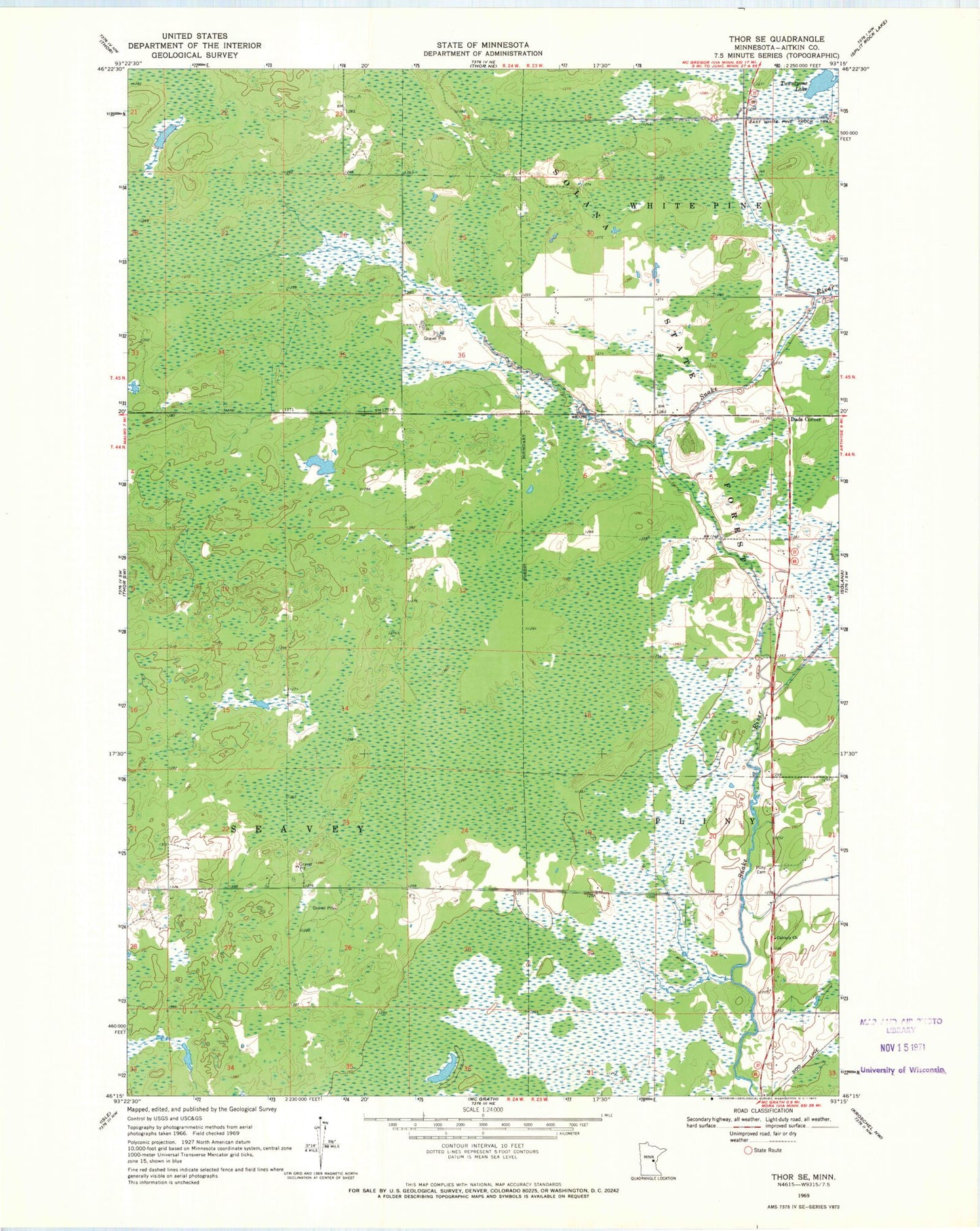
Historical USGS topographic quad map of Thor SE in the state of Minnesota. Map scale may vary for some years, but is generally around 1:24,000. Print size is approximately 24" x 27"
This quadrangle is in the following counties: Aitkin.
The map contains contour lines, roads, rivers, towns, and lakes. Printed on high-quality waterproof paper with UV fade-resistant inks, and shipped rolled.
Contains the following named places: Calvary Church, Dads Corner, East White Pine Truck Trail, Minnesota Department of Natural Resources McGrath Field Station, Pliny Cemetery, Township of Seavey, Tronnes Post Office, Twentyone Lake