MyTopo
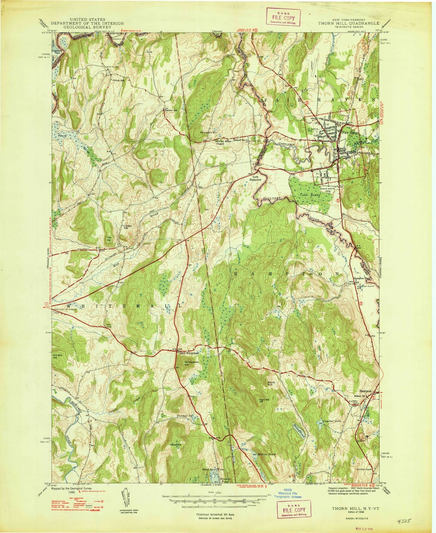
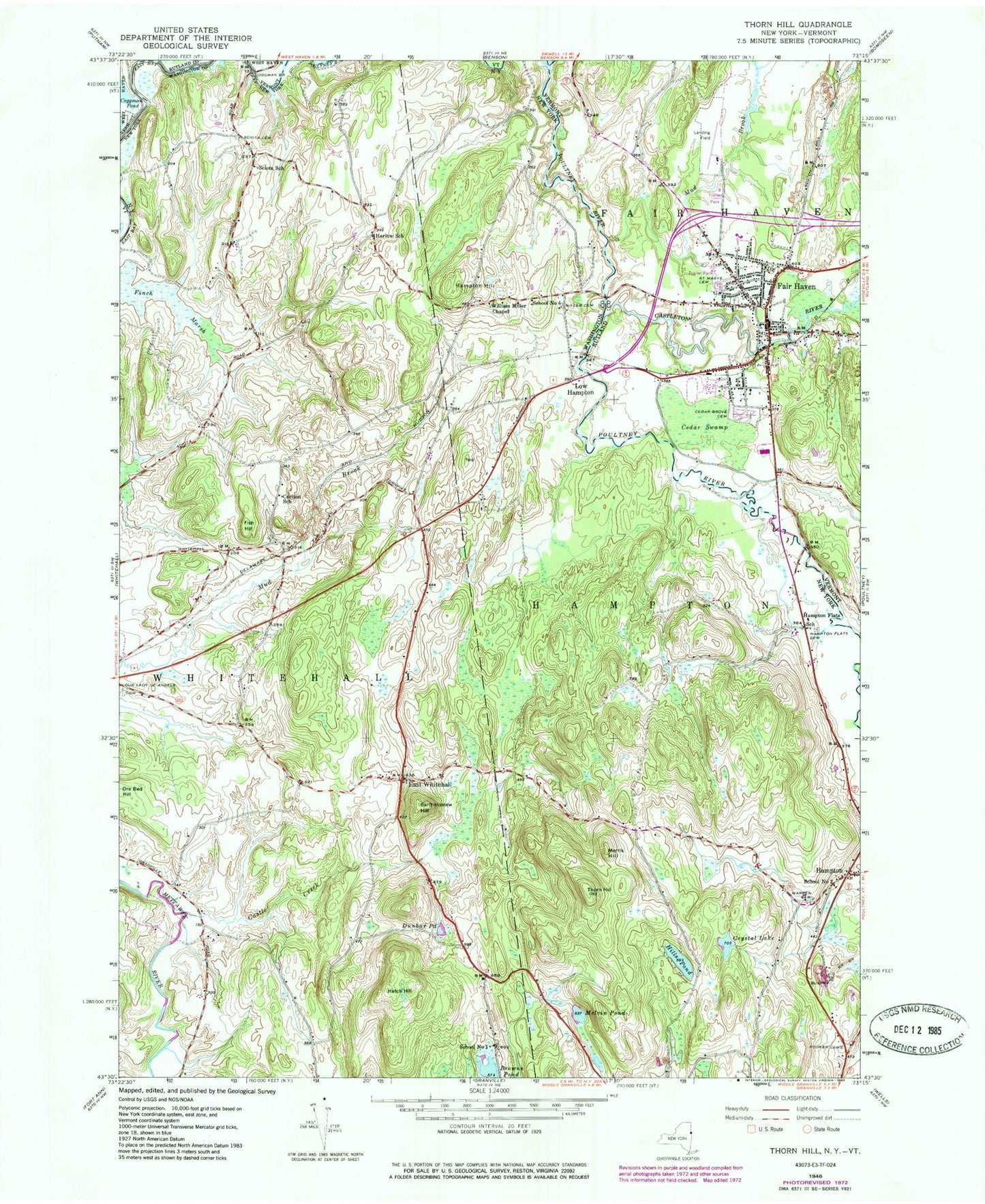
Classic USGS Thorn Hill New York 7.5'x7.5' Topo Map
Couldn't load pickup availability
Historical USGS topographic quad map of Thorn Hill in the states of New York, Vermont. Map scale may vary for some years, but is generally around 1:24,000. Print size is approximately 24" x 27"
This quadrangle is in the following counties: Rutland, Washington.
The map contains contour lines, roads, rivers, towns, and lakes. Printed on high-quality waterproof paper with UV fade-resistant inks, and shipped rolled.
Contains the following named places: Addison Rutland Supervisory Union, Bartholomew Hill, Browns Pond, Carlton School, Castle Creek, Castleton River, Cedar Grove Cemetery, Cedar Swamp, Coggman Bridge, Crystal Lake, Dunbar Pond, East Whitehall, Ewetopia Farm, Fair Haven, Fair Haven Census Designated Place, Fair Haven Fire Department, Fair Haven Free Public Library, Fair Haven Grade School, Fair Haven Green Historic District, Fair Haven Municipal Airport, Fair Haven Police Department, Fair Haven Post Office, Fair Haven Rescue Squad, Fair Haven Town Hall, Fair Haven Union High School, Fairview Orchard, Finch Marsh, First Congregational Church, Fish Hill, Green Hill Organic Orchard, Hampton, Hampton Flats, Hampton Flats Cemetery, Hampton Hill, Hampton Post Office, Hampton Volunteer Fire Company, Harlow School, Hatch Hill, Hills Pond, Hooker Cemetery, Kingdom Hall of Jehovahs Witnesses, Low Hampton, Melvin Pond, Miller Cemetery, Morris Hill, Mud Brook, Old North Half Cemetery, Old South Half Cemetery, Our Lady of Angels Cemetery, Saint Mary's Cemetery, Saint Mary's School, School Number 1, School Number 2, School Number 4, Sciota Cemetery, Sciota School, Thorn Hill, Town of Fair Haven, Town of Hampton, Village Green, Warren Cemetery, Whitehall Elementary School, William Miller Chapel, Yorkmont Farm, ZIP Code: 12887


