MyTopo
Classic USGS Thornburg Arkansas 7.5'x7.5' Topo Map
Couldn't load pickup availability
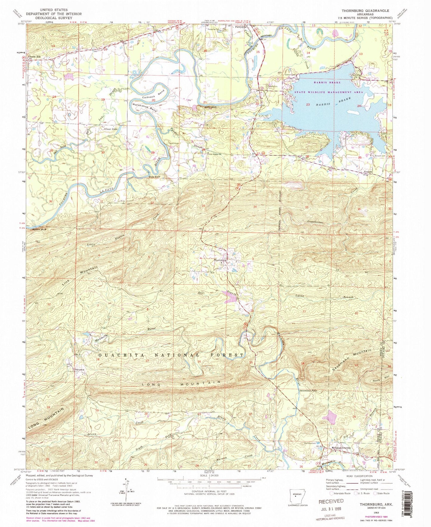
Historical USGS topographic quad map of Thornburg in the state of Arkansas. Map scale may vary for some years, but is generally around 1:24,000. Print size is approximately 24" x 27"
This quadrangle is in the following counties: Perry, Pulaski.
The map contains contour lines, roads, rivers, towns, and lakes. Printed on high-quality waterproof paper with UV fade-resistant inks, and shipped rolled.
Contains the following named places: Antioch, Antioch Cemetery, Antioch Church, Bell Branch, Brown Creek, Bull Lake, Bull Lake Slough, Calfneck Bend, Camp Pershing, Camp School, Cardon Cemetery, Cedar Creek, Cherry Hill, Cherry Hill School, Cherry Hill Volunteer Fire Department, Clear Lake, Coffee Creek, Darbys Pond, Darbys Pond Dam, Deltic Farms Lake, Deltic Farms Lake Dam, Greathouse Creek, Harmony, Harmony Baptist Church, Harmony Cemetery, Harris Brake, Harris Brake Auxillary Dam, Harris Brake Dam, Harris Brake Fire Department Station 3, Harris Brake Lake Fire Department Station 1, Harris Brake Lake Fire Department Station 2, Harris Brake Public Fishing Lake, Harris Brake State Wildlife Management Area, Henry Lake, Henry Lake Dam, Hope Cemetery, Horseshoe Bend, Houston Creek, Jay Bird School, Little Huston Creek, Lyons Branch, Millie Bluff, Narrow Creek, Perryville Cemetery, Rankin School, Satsuma School, Satuma, Sausmann Falls, Sausmann Mountain, Slaty Bluff, South Fork Brown Creek, Thornburg, Thornburg Baptist Church, Township of Maumelle, Township of Rowland, Township of Union Valley, Tyler Shoals, Tyndall Cemetery, Tyndall Slough, Union Valley Baptist Church, Union Valley School, Watson Bluff, Williams Junction, Williams Junction Volunteer Fire Department, Winona Work Center


