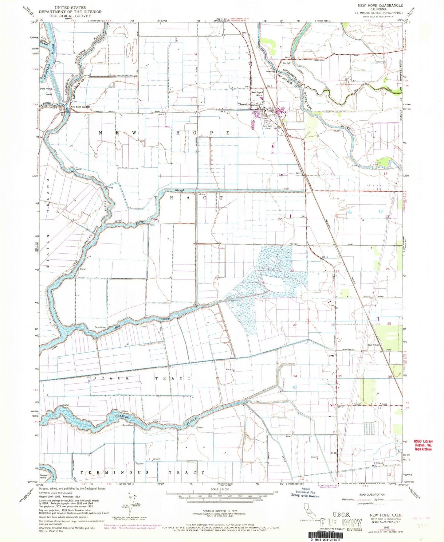
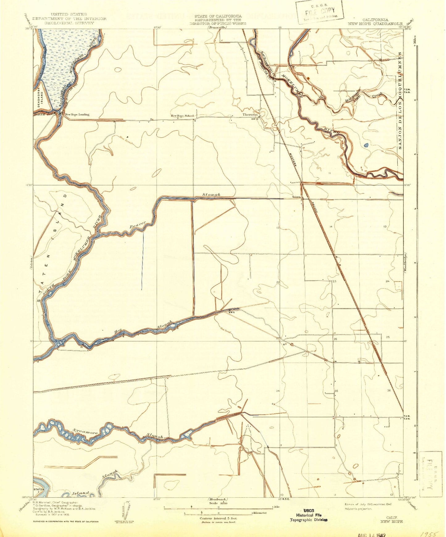
MyTopo
Classic USGS Thornton California 7.5'x7.5' Topo Map
Couldn't load pickup availability
Historical USGS topographic quad map of Thornton in the state of California. Map scale may vary for some years, but is generally around 1:24,000. Print size is approximately 24" x 27"
This quadrangle is in the following counties: Sacramento, San Joaquin.
The map contains contour lines, roads, rivers, towns, and lakes. Printed on high-quality waterproof paper with UV fade-resistant inks, and shipped rolled.
Contains the following named places: Beaver Slough, Brack Tract, Canal Ranch, De Snayer Dairy, Dead Horse Cut, Dry Creek, Grizzly Slough, Hog Slough, KCSO-TV (Modesto), New Hope, New Hope Elementary School, New Hope Landing, New Hope School, New Hope Tract, Northwest Main Canal, River Island Gas Field, Simones Dairy, Sycamore Slough, Taison, Thornton, Thornton Branch Stockton-San Joaquin County Public Library, Thornton Census Designated Place, Thornton Division, Thornton Migratory Labor Camp, Thornton Post Office, Thornton Rural Fire Protection District, Upland Canal, Van Exel Dairy Number 1, West Thornton-Walnut Grove Gas Field, ZIP Code: 95242