MyTopo
Classic USGS Thornton West Virginia 7.5'x7.5' Topo Map
Couldn't load pickup availability
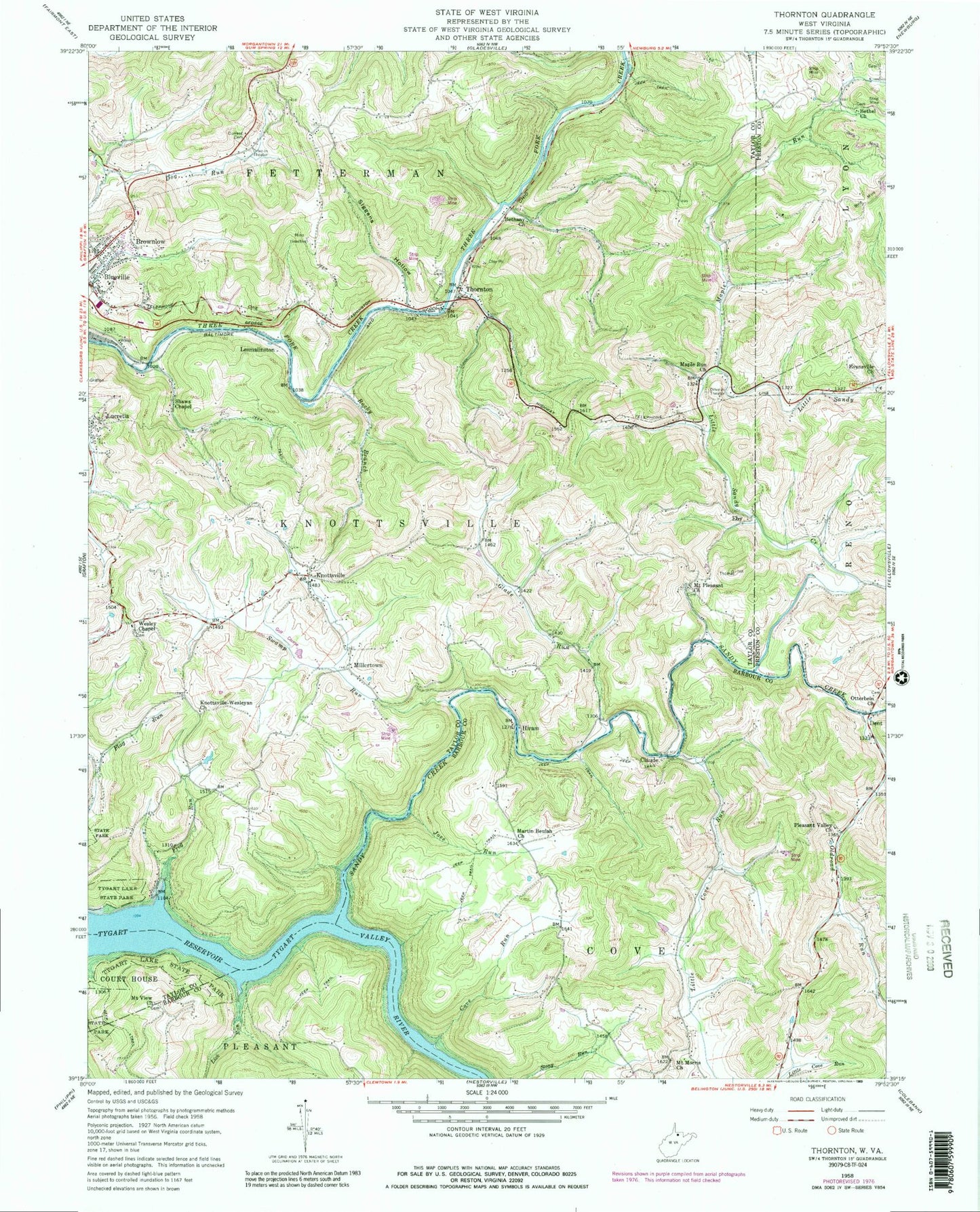
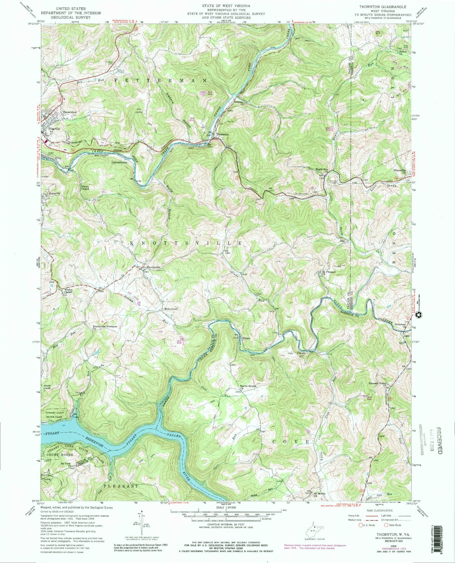
Historical USGS topographic quad map of Thornton in the state of West Virginia. Typical map scale is 1:24,000, but may vary for certain years, if available. Print size: 24" x 27"
This quadrangle is in the following counties: Barbour, Preston, Taylor.
The map contains contour lines, roads, rivers, towns, and lakes. Printed on high-quality waterproof paper with UV fade-resistant inks, and shipped rolled.
Contains the following named places: Bethany Church, Bethel United Methodist Church, Cove Run, Current Cemetery, Frog Run, Glade Run, Joes Run, Knottsville, Knottsville United Methodist Church, Lick Run, Little Cove Run, Little Sandy Creek, Maple Run, Maple Run Church, Martin Beulah Church, Millertown, Mount Morris Church, Mount Pleasant United Methodist Church, Mount View Church, Oldroad Run, Otterbein United Methodist Church, Pleasant Valley Church, Rocky Branch, Shaws Chapel, Siggens Hollow, Swamp Run, Thornton, Wesley Chapel United Methodist Church, Claude, Eby, Hiram, Sandy Creek, Brownlow, Dent, Lesmalinston, Roy Airfield (historical), Larew Airport, Canaan School (historical), Sand Run School (historical), Sandy School (historical), Albert Veyon Spring, Blueville Church of Christ, Blueville Grade School (historical), Cecil, Glade Run School (historical), Jones School (historical), Keener School (historical), Knottsville Cemetery, Knottsville School (historical), Lucretia School (historical), Maple Run, Maple Run School (historical), Mount Airy School (historical), Mount Pleasant Cemetery, Mount Pleasant School (historical), River School (historical), Robinson School (historical), Rocky Branch School (historical), Sandy (historical), Sawyer School (historical), Thornton Post Office, Thornton United Methodist Church, Wesley Chapel Cemetery, Westerman (historical), Westerman School (historical), Wilson School (historical), Lick Run School (historical), Loftis (historical), Martin Beulah School (historical), Mount Morris School (historical), Pleasant Valley School (historical), Eastern District, Thornton Fire Department Station 1, Bethel Cemetery, Hunt Cemetery, Tygart Lake Public Golf Course, Thornton Bridge


