MyTopo
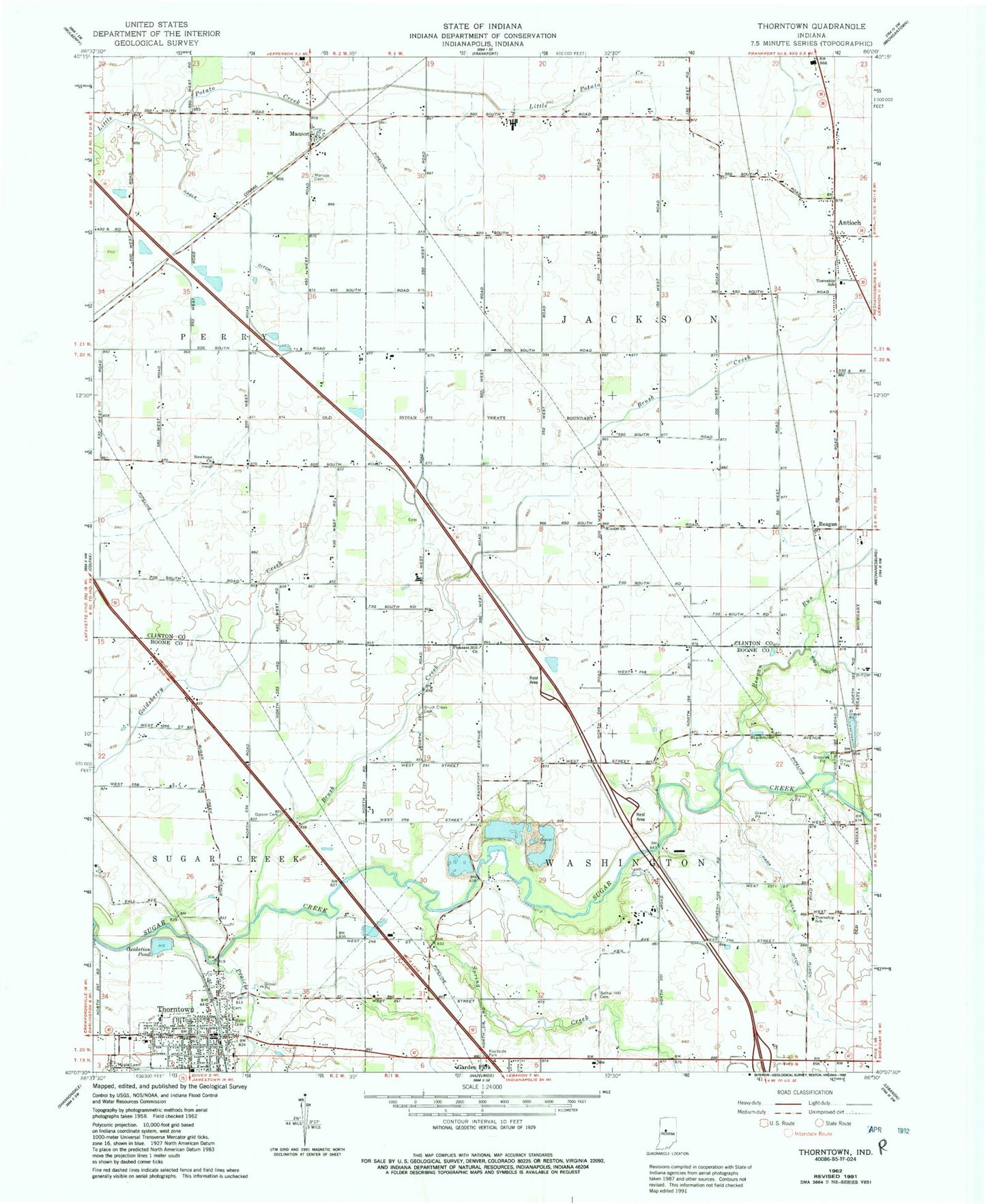
Classic USGS Thorntown Indiana 7.5'x7.5' Topo Map
Couldn't load pickup availability
Historical USGS topographic quad map of Thorntown in the state of Indiana. Map scale may vary for some years, but is generally around 1:24,000. Print size is approximately 24" x 27"
This quadrangle is in the following counties: Boone, Clinton.
The map contains contour lines, roads, rivers, towns, and lakes. Printed on high-quality waterproof paper with UV fade-resistant inks, and shipped rolled.
Contains the following named places: Antioch, Bethel Hill Cemetery, Brush Creek, Brush Creek Cemetery, Clark Airport, Garden Park, Gipson Cemetery, Harr Wills Ditch, Kinder Church, Manson, Manson Cemetery, Maple Lawn Cemetery, Midstate Aggregate Pit, Nagle Ditch, New Hope Church, Oxidation Pond, Pleasant Hill Church, Prairie Creek, Reagan, Reagan Run, Spring Creek, Thorntown, Thorntown Police Department, Thorntown Post Office, Town of Thorntown, Township of Jackson, Township of Washington