MyTopo
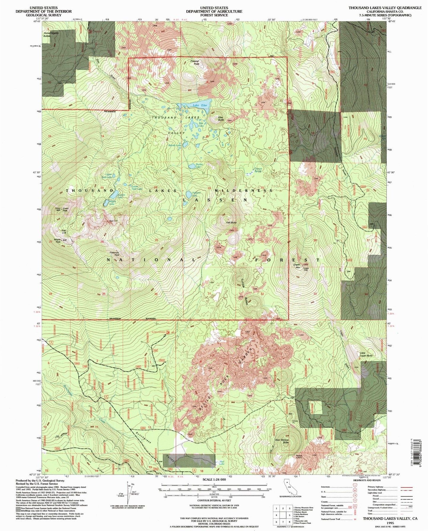
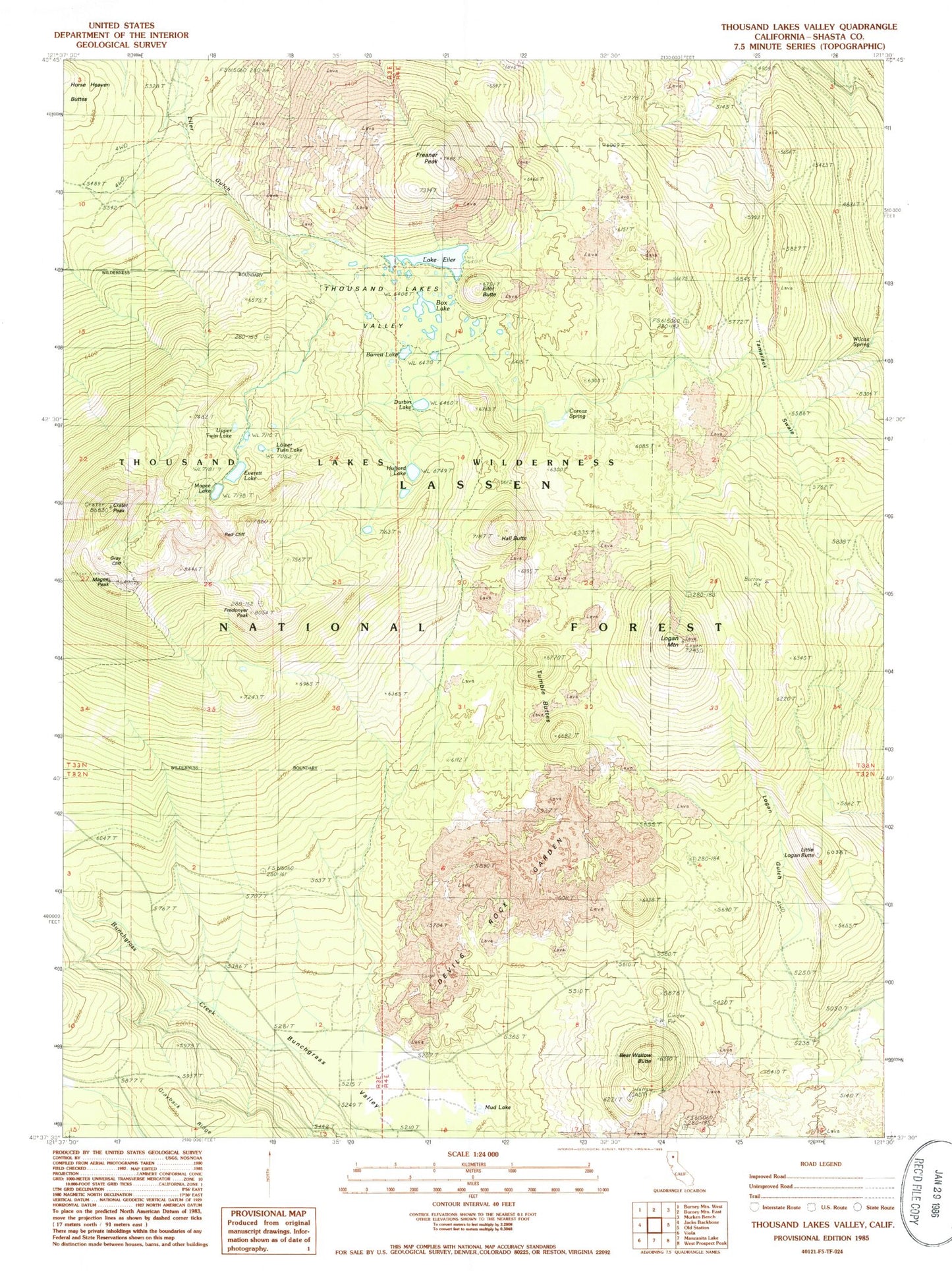
Classic USGS Thousand Lakes Valley California 7.5'x7.5' Topo Map
Couldn't load pickup availability
Historical USGS topographic quad map of Thousand Lakes Valley in the state of California. Typical map scale is 1:24,000, but may vary for certain years, if available. Print size: 24" x 27"
This quadrangle is in the following counties: Shasta.
The map contains contour lines, roads, rivers, towns, and lakes. Printed on high-quality waterproof paper with UV fade-resistant inks, and shipped rolled.
Contains the following named places: Barrett Lake, Bunchgrass Campground, Bunchgrass Creek, Bunchgrass Trail, Bunchgrass Valley, Cornez Spring, Crater Peak, Cypress Camp Trail, Cypress Campground, Devils Rock Garden, Durbin Lake, Lake Eiler, Everett Lake, Freaner Peak, Fredonyer Peak, Gray Cliff, Hall Butte, Hufford Lake, Little Logan Butte, Logan Gulch, Logan Mountain, Lower Twin Lake, Magee Lake, Magee Peak, Magee Trail, Mud Lake, Red Cliff, Tamarack Swale, Tamarack Swale Trail, Thousand Lakes Valley, Thousand Lakes Wilderness, Upper Twin Lake, Wilcox Spring, Wilcox Trail, Box Lake, Magee Lookout, Bear Wallow Butte, Eiler Butte, Tumble Buttes