MyTopo
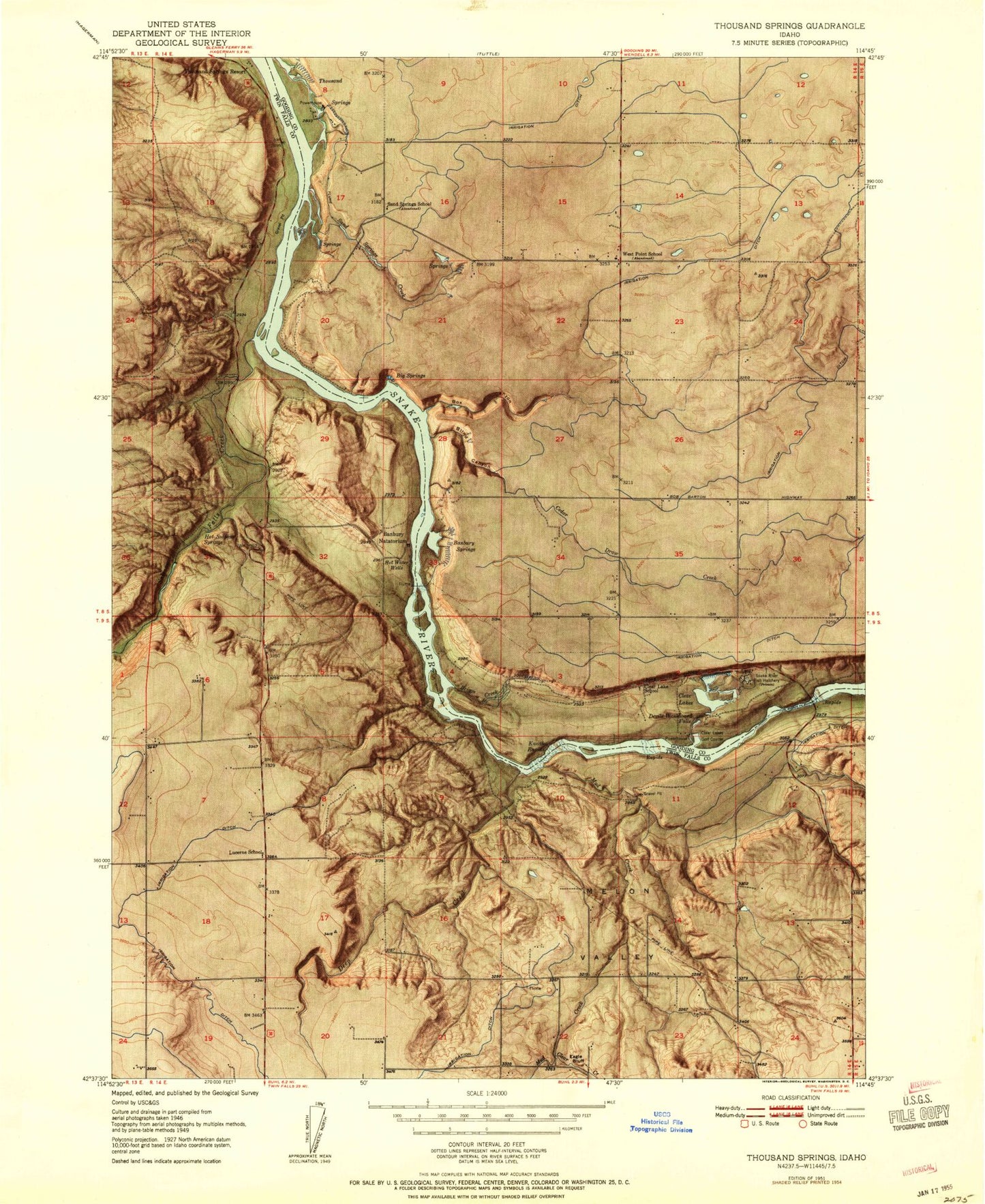
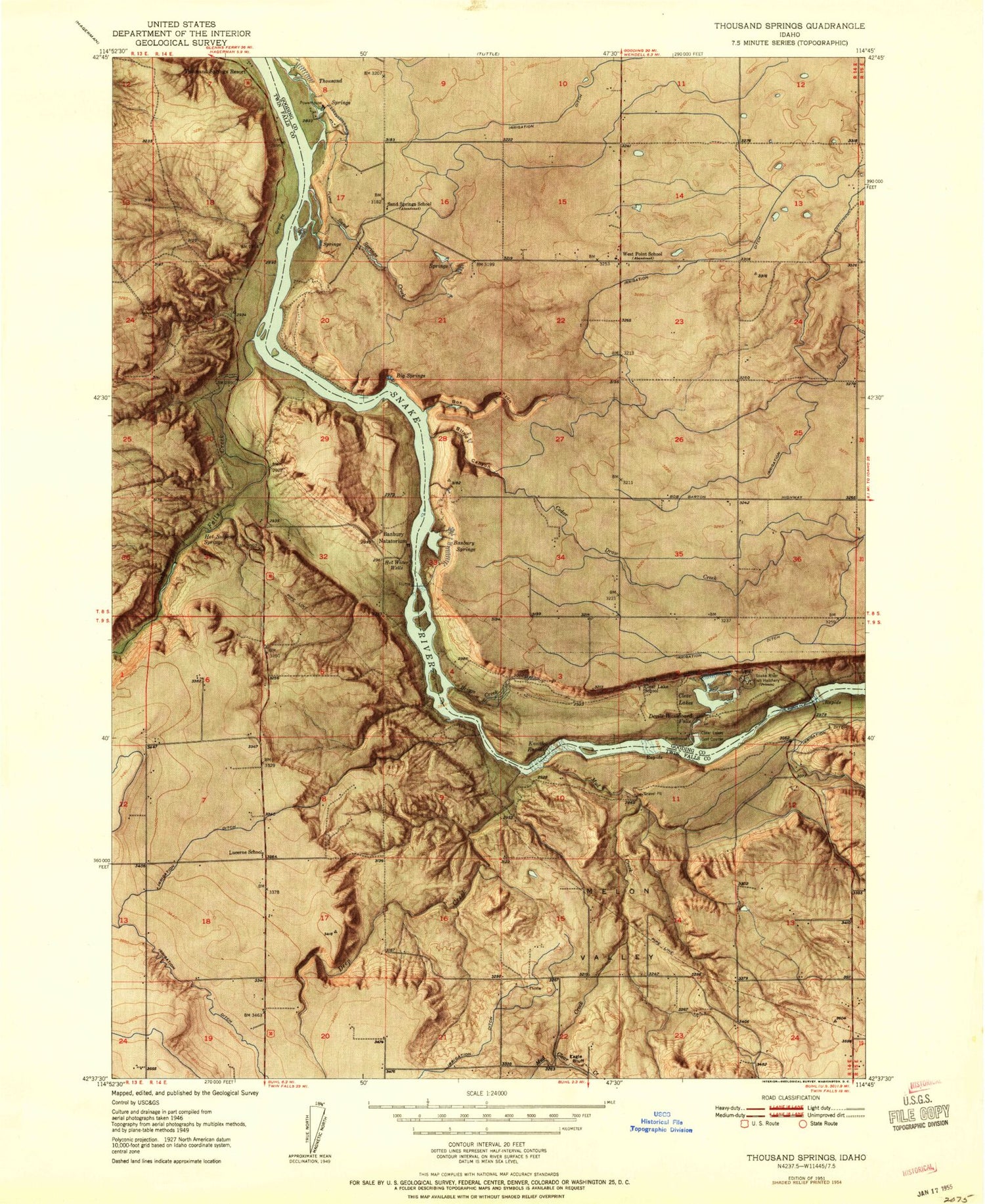
Classic USGS Thousand Springs Idaho 7.5'x7.5' Topo Map
Couldn't load pickup availability
Historical USGS topographic quad map of Thousand Springs in the state of Idaho. Map scale may vary for some years, but is generally around 1:24,000. Print size is approximately 24" x 27"
This quadrangle is in the following counties: Gooding, Twin Falls.
The map contains contour lines, roads, rivers, towns, and lakes. Printed on high-quality waterproof paper with UV fade-resistant inks, and shipped rolled.
Contains the following named places: Abbey, Austin, Banbury Natatorium, Banbury Springs, Blind Canyon, Blue Heart Springs, Box Canyon, Briggs Creek, Buhl Fire Department Station 2, Cedar Draw Creek, Clear Creek, Clear Lake, Clear Lake Country Club, Clear Lake Dam, Clear Lakes, Deep Creek, Devils Washboard Falls, Eagle Bluff, Hot Sulphur Springs, Kanaka Rapids, Lateral S-19, Lateral S-22, Lateral S-27, Lateral S-29, Lateral S-31, Lateral S-39, Lateral W-14, Lateral W-15, Lateral W-18, Lateral W-28, Lateral W-56, Lateral W-58, Lucerne School, Melon Valley, Mud Creek, Salmon Falls Creek, Sand Springs, Sand Springs Creek, Snake River Fish Hatchery, Thousand Springs, West Point


