MyTopo
Classic USGS Three Churches Tennessee 7.5'x7.5' Topo Map
Couldn't load pickup availability
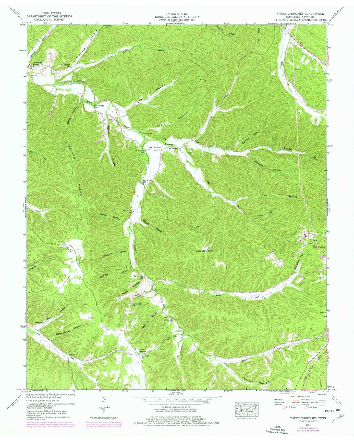
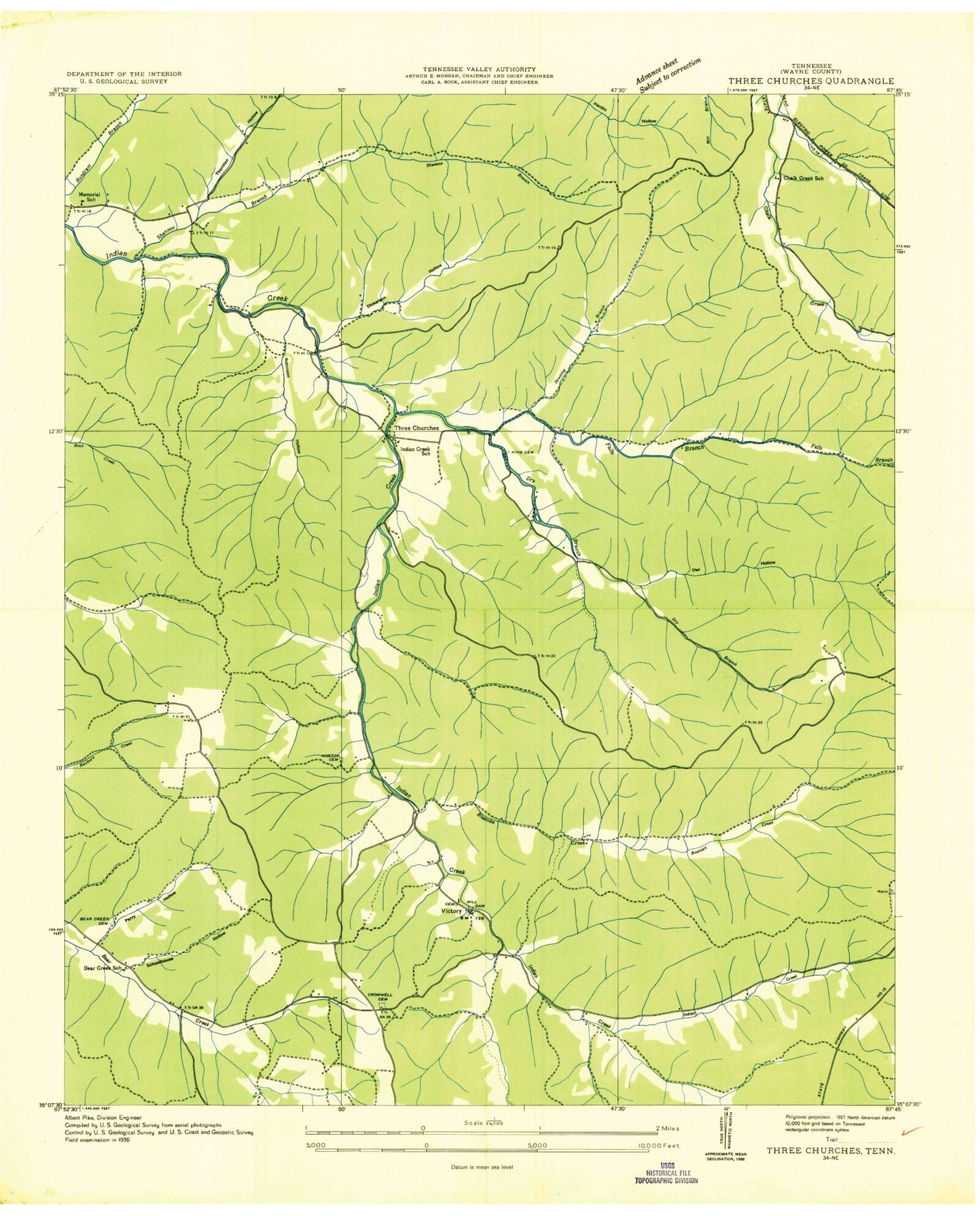
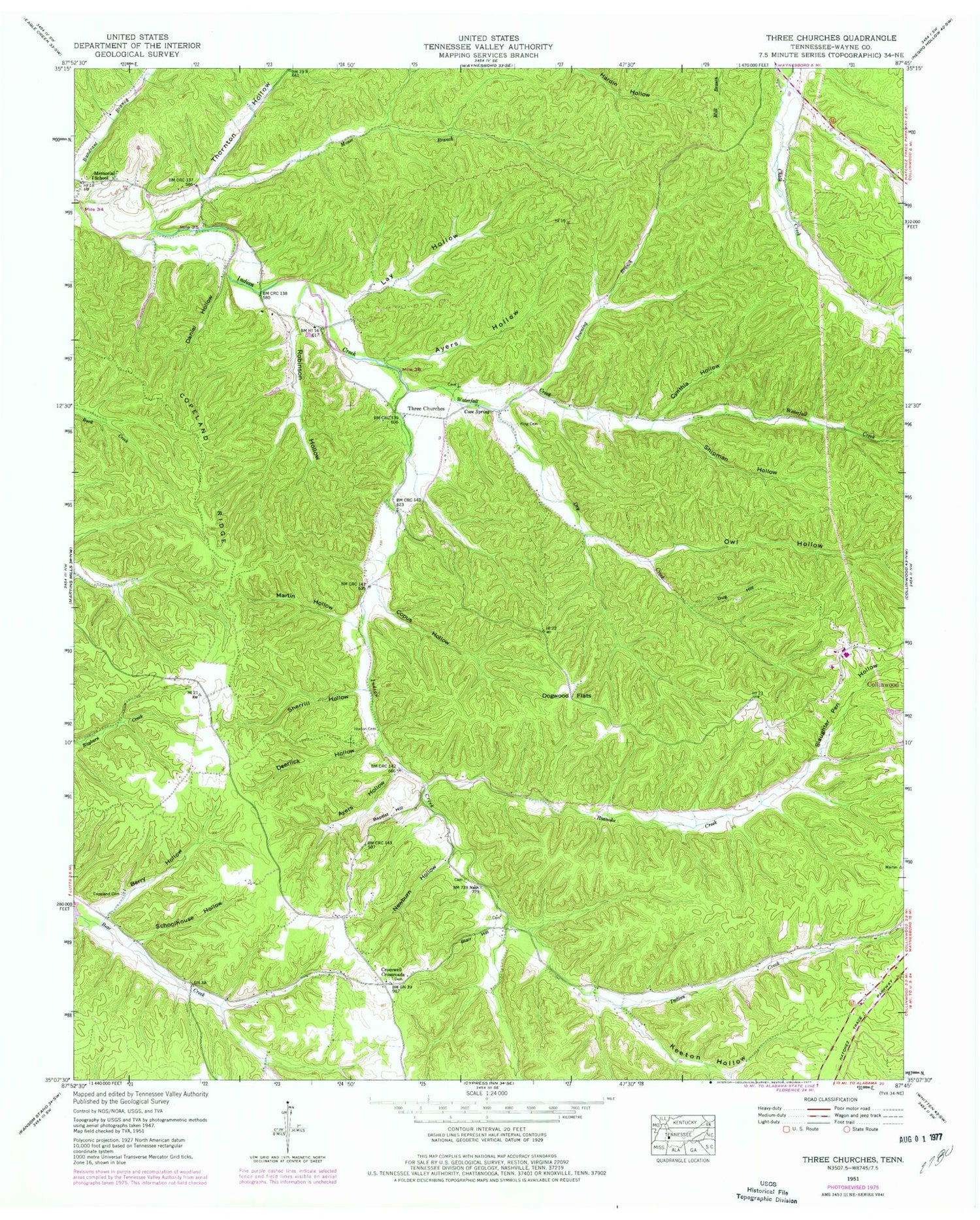
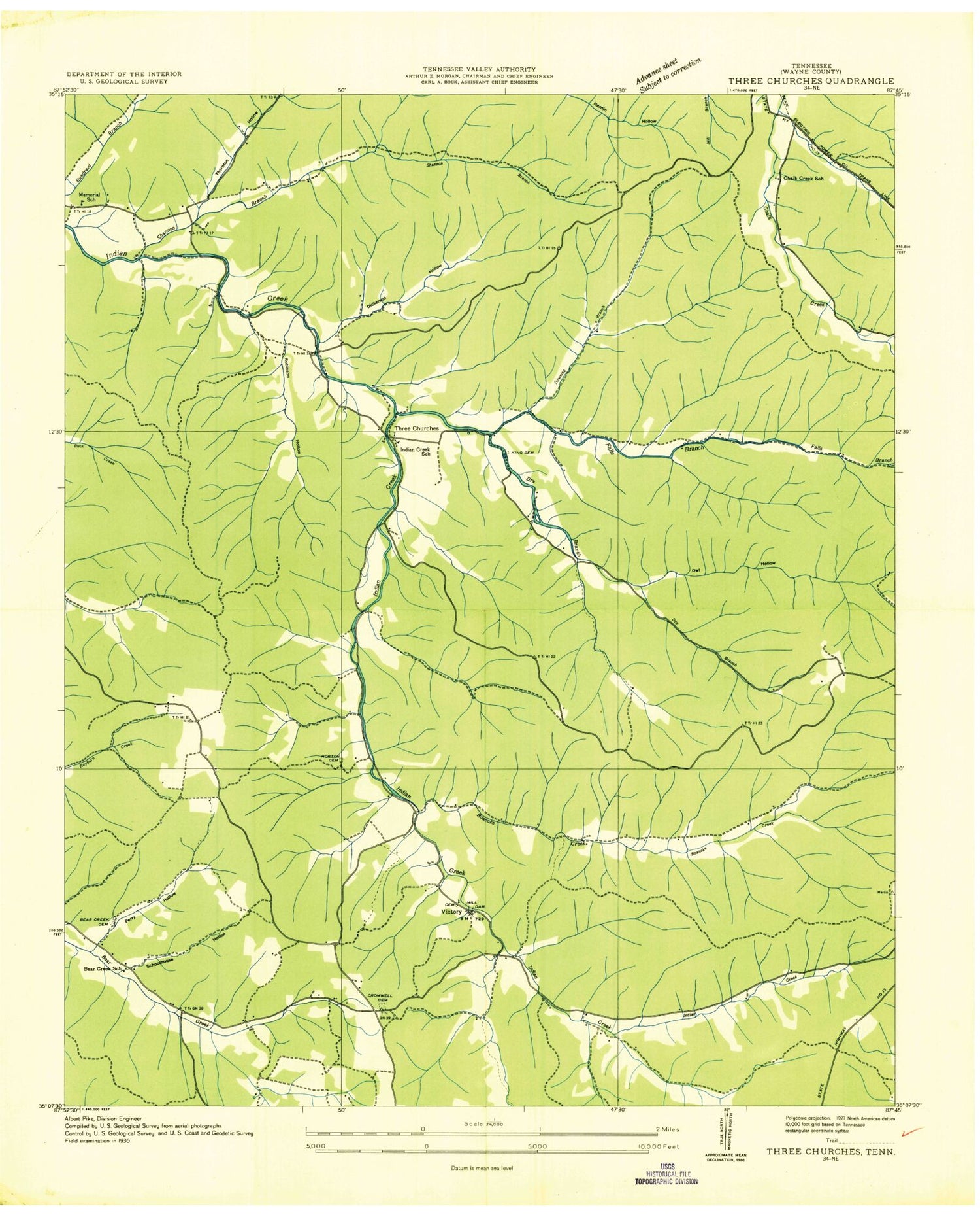
Historical USGS topographic quad map of Three Churches in the state of Tennessee. Map scale may vary for some years, but is generally around 1:24,000. Print size is approximately 24" x 27"
This quadrangle is in the following counties: Wayne.
The map contains contour lines, roads, rivers, towns, and lakes. Printed on high-quality waterproof paper with UV fade-resistant inks, and shipped rolled.
Contains the following named places: Ayers Hollow, Baptist Hill, Bear Creek School, Beavers Cemetery, Berry Hollow, Blair Hill, Cave Creek, Cave Spring, Chalk Creek School, Copeland Cemetery, Copeland Ridge, Copus Hollow, Cromwell Cemetery, Cromwell Crossroads, Cromwell Crossroads Cemetery, Cynthia Hollow, Cypert-Copeland-Lay Cemetery, Cypert-Thornton Cemetery, Daniel Hollow, Deerlick Hollow, Dogwood Flats, Downing Branch, Downing Hollow, Downing-Byler Cemetery, Dry Creek, Dug Hill, Haley - Ward Cemetery, Harbour Cemetery, Hesse Cemetery, Holden Cemetery, Horton Cemetery, Horton Family Cemetery, Indian Creek School, Keeton Hollow, King Cemetery, Lay Hollow, Lay Hollow Branch, Love Cemetery, Lynn Cemetery, Martin Hollow, Masonic Hall, Masonic Hall Cemetery, Memorial Cemetery, Memorial Church, Memorial School, Moser Branch, Newburn Hollow, Owl Hollow, Owl Hollow Branch, Providence Cemetery, Providence Church, Roanoke Creek, Robinson Hollow, Robinson Hollow Branch, Schoolhouse Hollow, Sherrill Hollow, Shipman Hollow, Sims Cemetery, Slaughter Pen Hollow, Talley Cemetery, Thornton Hollow, Three Churches, Victory, Waterfall Creek, Wayne County, ZIP Code: 38450


