MyTopo
Classic USGS Three Fingered Jack Oregon 7.5'x7.5' Topo Map
Couldn't load pickup availability
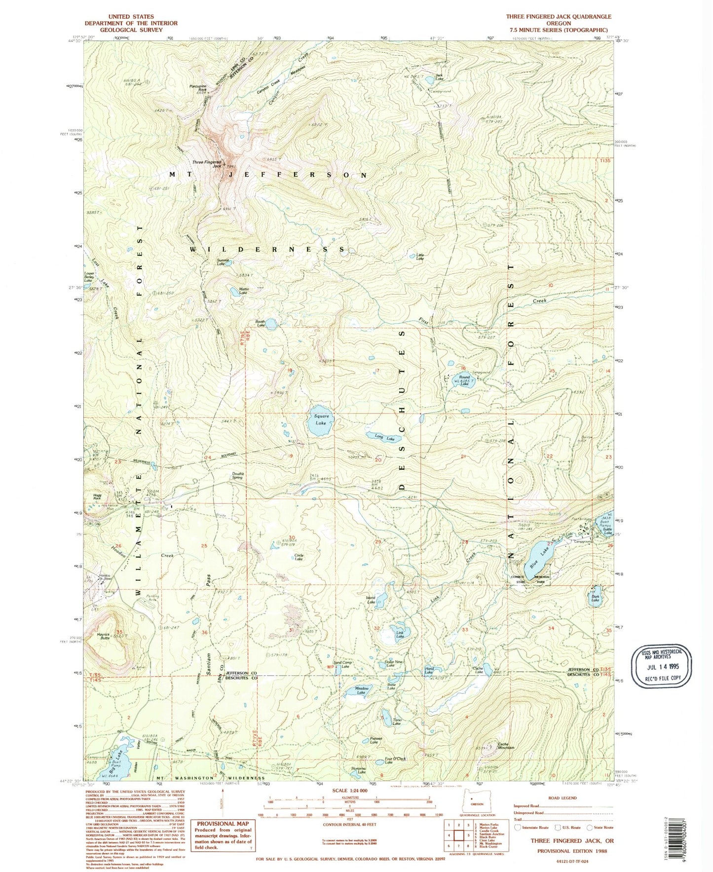
Historical USGS topographic quad map of Three Fingered Jack in the state of Oregon. Typical map scale is 1:24,000, but may vary for certain years, if available. Print size: 24" x 27"
This quadrangle is in the following counties: Deschutes, Jefferson, Linn.
The map contains contour lines, roads, rivers, towns, and lakes. Printed on high-quality waterproof paper with UV fade-resistant inks, and shipped rolled.
Contains the following named places: Link Lake, Blue Lake, Booth Lake, Cache Lake, Cache Lake Trail, Cache Mountain, Camp Tamarack, Circle Lake, Elliot R Corbett II Memorial State Park, Dark Lake, Douthit Spring, First Creek Camp, Four O'Clock Lake, Hand Lake, Hayrick Butte, Hidden Valley, Hortense Lake, Island Lake, Jack Lake, Jack Shelter, Link Creek, Little Lake, Little Lake Trail, Long Lake, Martin Lake, Meadow Lake, Porcupine Peak, Round Lake, Round Lake Trail, Santiam Pass, Square Lake, Summit Lake, Three Fingered Jack, Canyon Creek Meadows, Dollar Nine Lake, Sand Camp Lake, Bone Lake, Torso Lake, Peewee Lake, Claypool Butte, Brandenburg Butte, Santiam Sno-Park, North Loop Trail, Hoodoo Ski Bowl Snow-Park, South Loop Trail, South Loop Cut Off, Corbett Sno-Park, Blue Lake Resort, Round Lake Christian Camp, Round Lake Recreation Site, Link Creek Recreation Site, Hogg Rock, Hoodoo Ski Bowl, Jack Lake Recreation Site, Ray Benson Sno-Park, Big Lake Recreation Site, Presbyterian Organization Site, Suttle Lake Water Ski, Big Lake Campground Boat Ramp, Suttle Lake Waterski Area Boat Ramp, Link Creek Campground Boat Ramp


