MyTopo
Classic USGS Three Lakes Michigan 7.5'x7.5' Topo Map
Couldn't load pickup availability
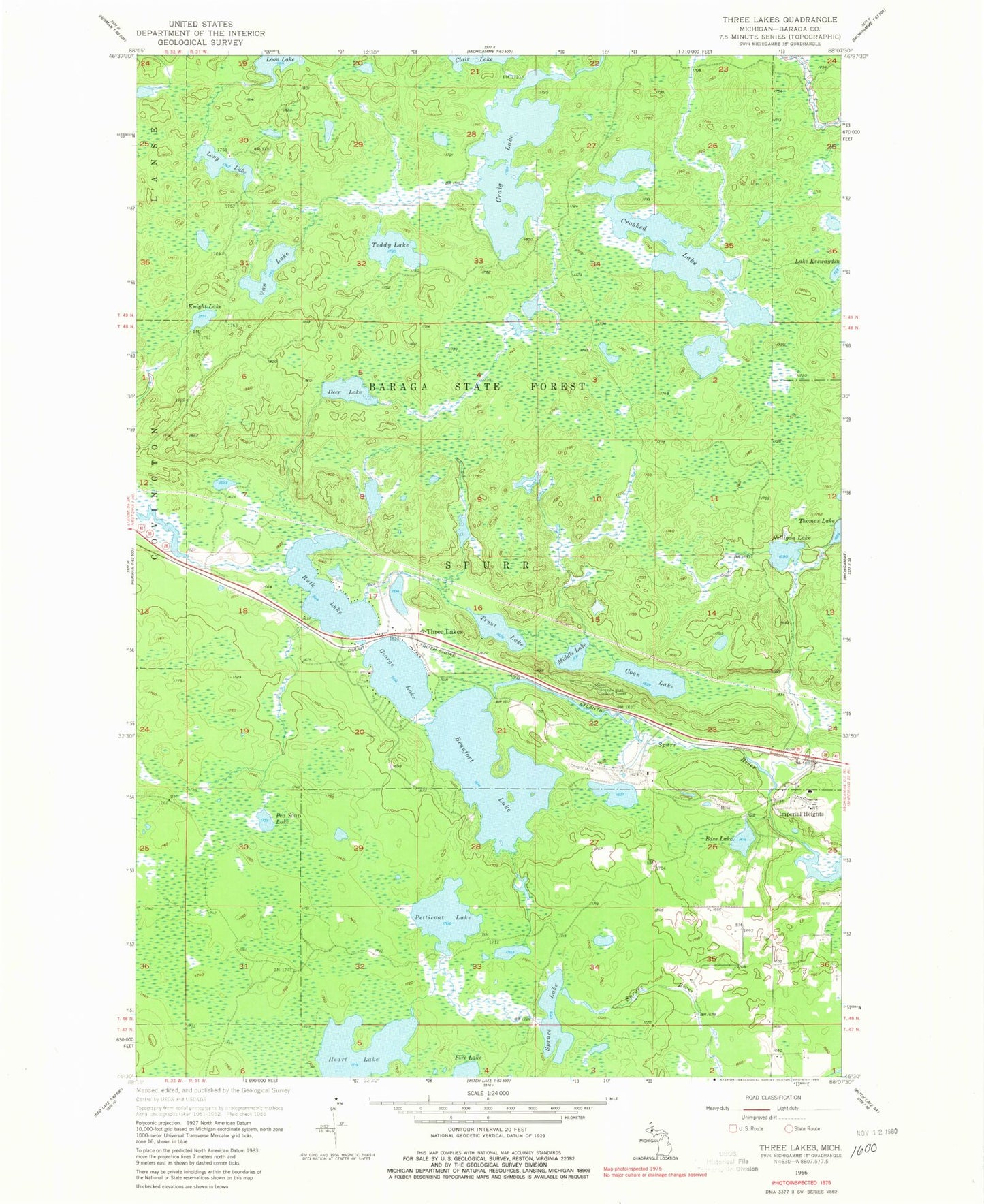
Historical USGS topographic quad map of Three Lakes in the state of Michigan. Typical map scale is 1:24,000, but may vary for certain years, if available. Print size: 24" x 27"
This quadrangle is in the following counties: Baraga.
The map contains contour lines, roads, rivers, towns, and lakes. Printed on high-quality waterproof paper with UV fade-resistant inks, and shipped rolled.
Contains the following named places: Bass Lake, Beaufort Lake, Canal Town Creek, Coon Lake, Craig Lake, Crooked Lake, Deer Lake, George Lake, Heart Lake, Imperial Heights, Knight Lake, Long Lake, Middle Lake, Nelligan Creek, Nelligan Lake, Nestoria Creek, Ohio Mine, Pea Soup Lake, Petticoat Creek, Petticoat Lake, Ruth Lake, Spruce Lake, Spurr River, Teddy Lake, Trout Lake, Van Lake, Three Lakes, Three Lakes Lookout Tower, Township of Spurr, Craig Lake State Park, Beaufort Lake State Forest Campground, Spurr Mountain Post Office (historical), Spurr Mountain Station (historical), Three Lakes Station, Redruth Post Office (historical), Redruth Station (historical), Three Lakes Census Designated Place


