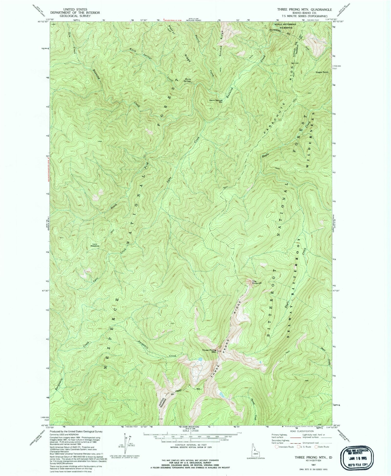
MyTopo
Classic USGS Three Prong Mountain Idaho 7.5'x7.5' Topo Map
Regular price
$16.95
Regular price
Sale price
$16.95
Unit price
per
Couldn't load pickup availability
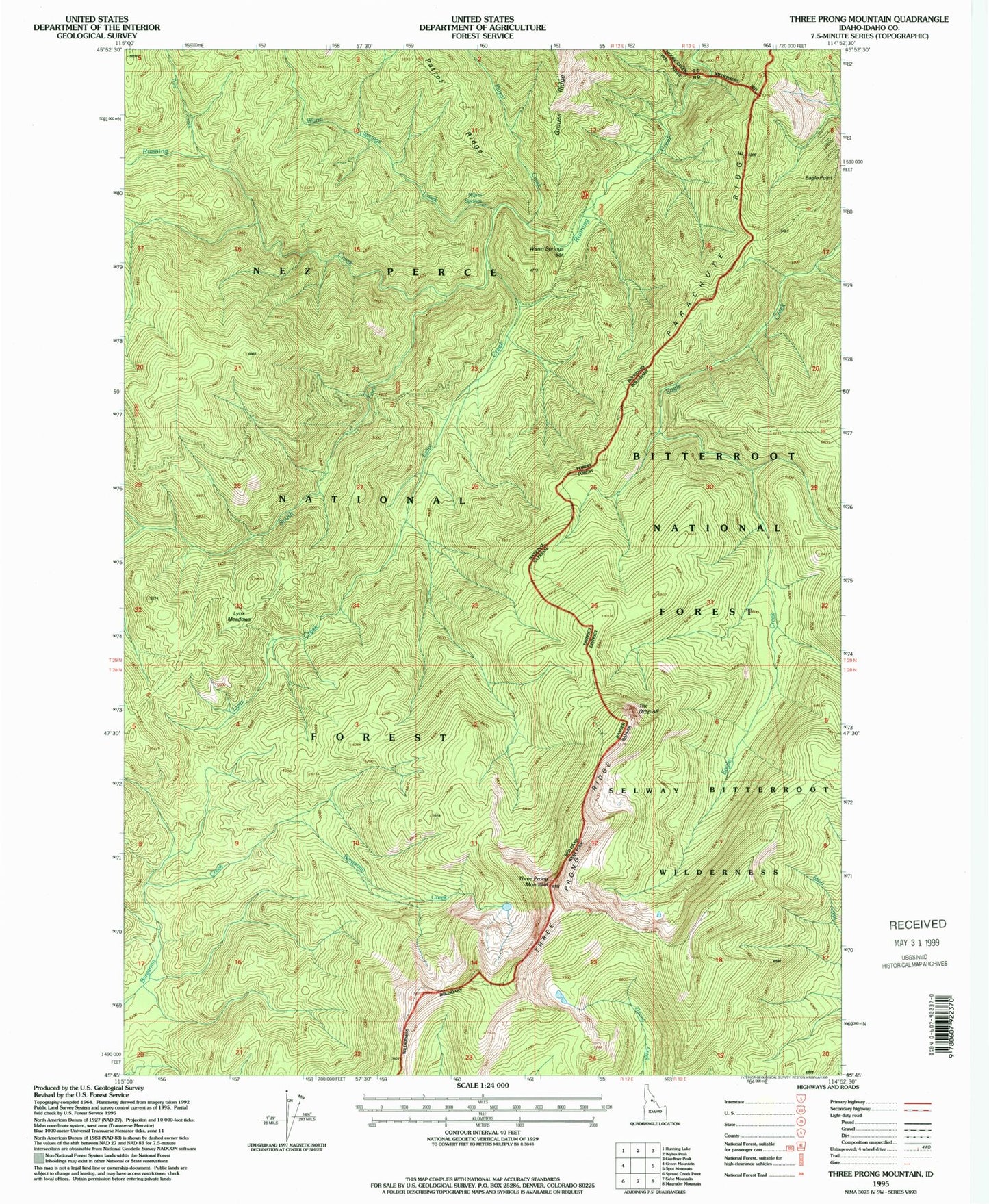
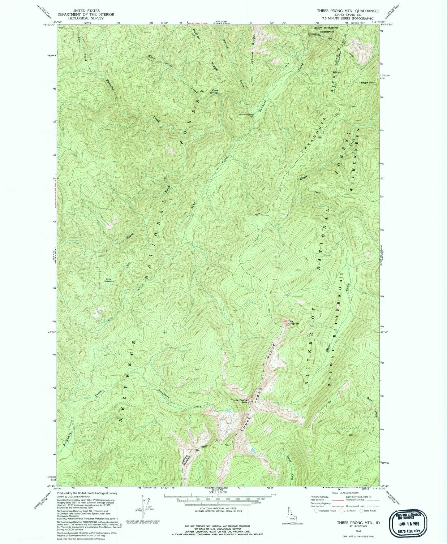
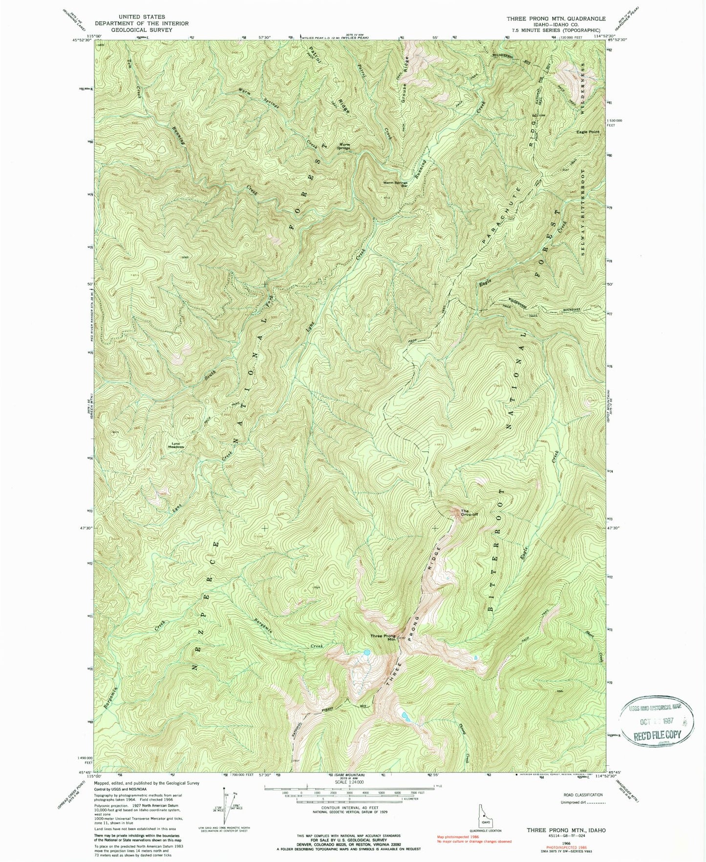
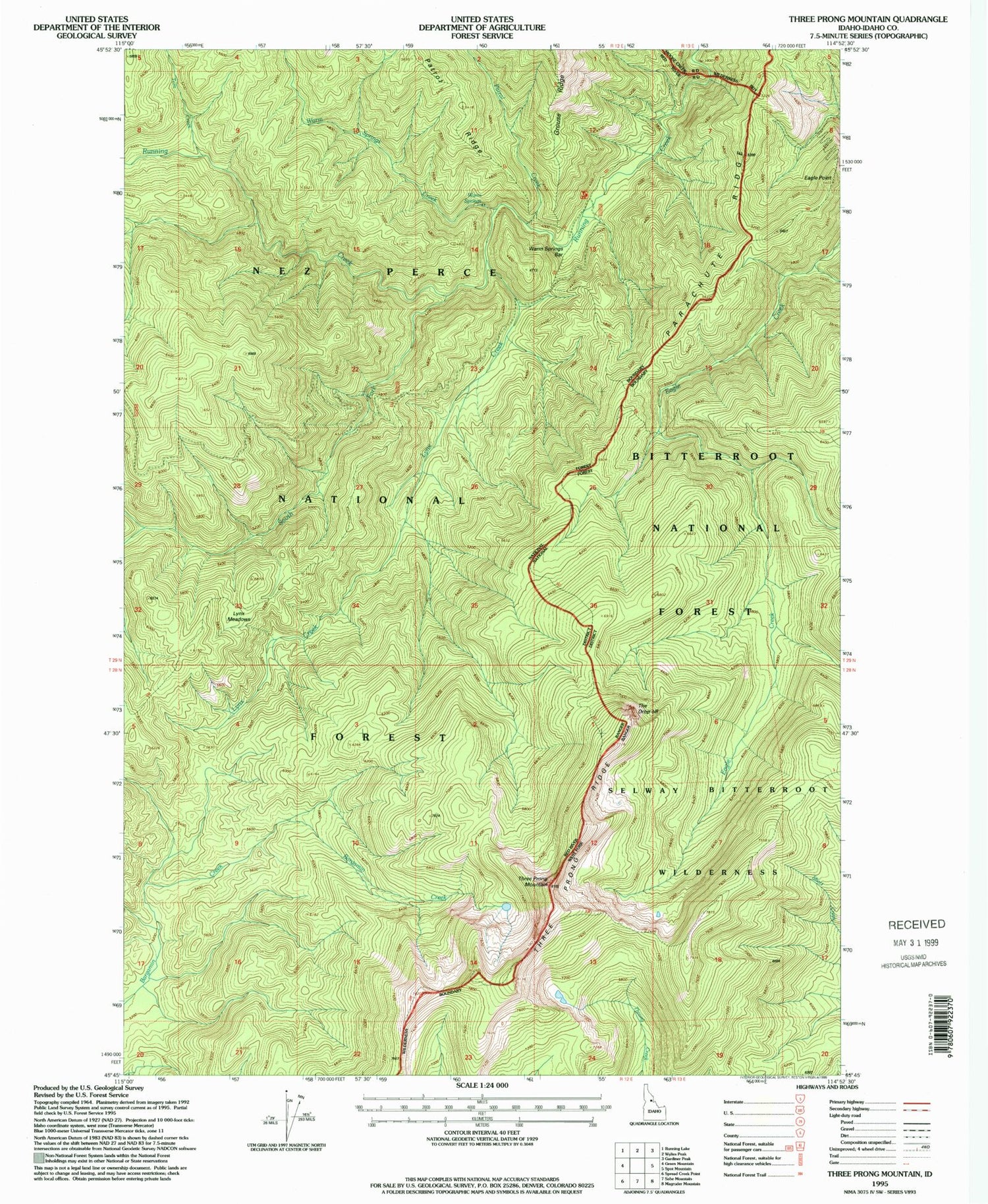
Historical USGS topographic quad map of Three Prong Mountain in the state of Idaho. Map scale may vary for some years, but is generally around 1:24,000. Print size is approximately 24" x 27"
This quadrangle is in the following counties: Idaho.
The map contains contour lines, roads, rivers, towns, and lakes. Printed on high-quality waterproof paper with UV fade-resistant inks, and shipped rolled.
Contains the following named places: Eagle Point, Lynx Creek, Lynx Meadows, Parachute Ridge, Patrol Creek, South Fork Running Creek, The Drop-off, Three Prong Mountain, Three Prong Ridge, Tom Creek, Warm Springs, Warm Springs Bar, Warm Springs Creek