MyTopo
Classic USGS Three Rivers East Michigan 7.5'x7.5' Topo Map
Couldn't load pickup availability
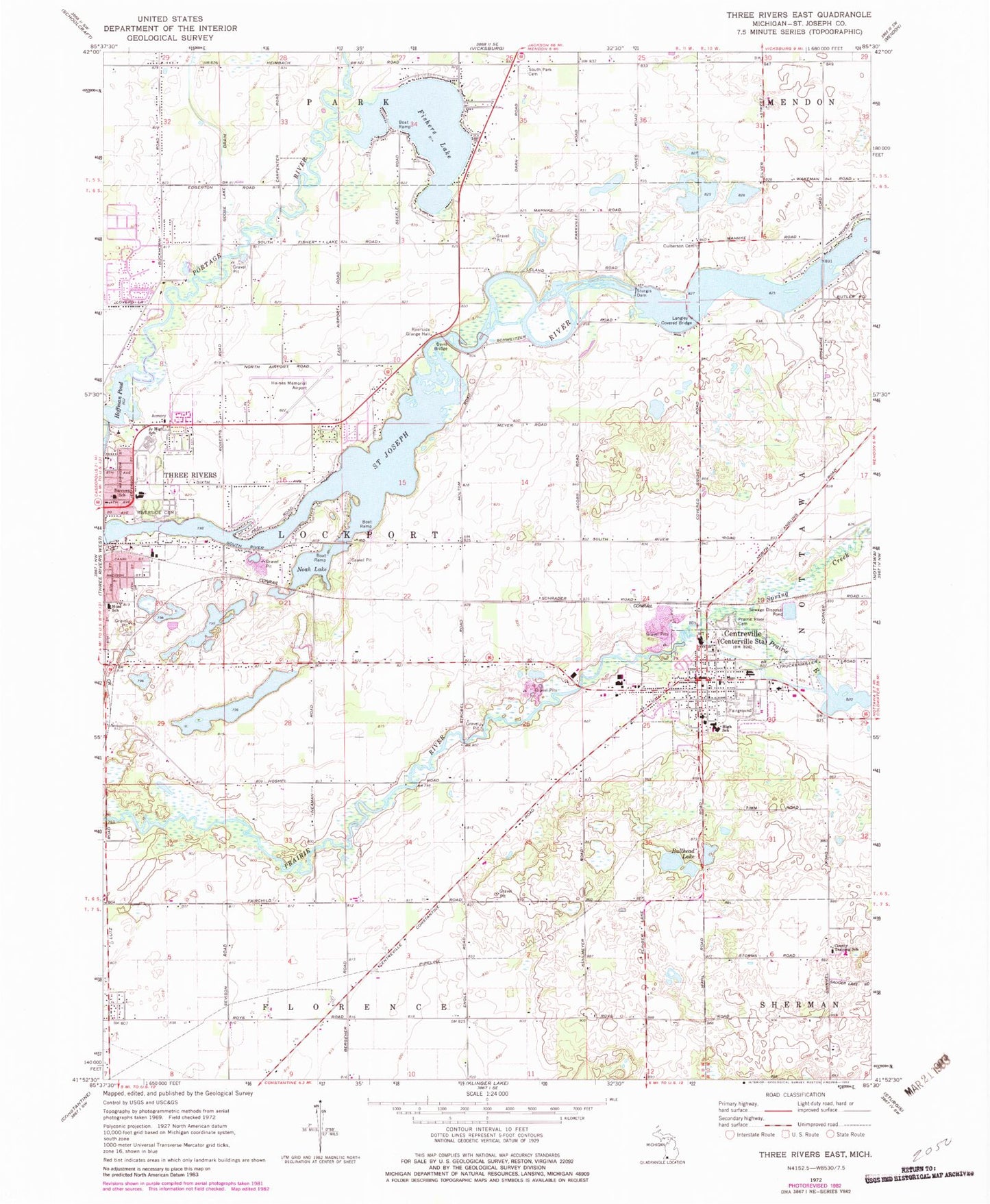
Historical USGS topographic quad map of Three Rivers East in the state of Michigan. Map scale may vary for some years, but is generally around 1:24,000. Print size is approximately 24" x 27"
This quadrangle is in the following counties: St. Joseph.
The map contains contour lines, roads, rivers, towns, and lakes. Printed on high-quality waterproof paper with UV fade-resistant inks, and shipped rolled.
Contains the following named places: Adams Park, Amish Cemetery, Barrows School, Bethel Baptist Church, Bullhead Lake, Burr Oak Methodist Church, Centre Chateaux Mobile Home Park, Centreville, Centreville Baptist Church, Centreville Fire Department, Centreville High School, Centreville Police Department, Centreville Post Office, Centreville Station, Centreville United Methodist Church, Centreville Village Cemetery, County Training School, Covered Bridge Park, Culberson Cemetery, Davis Bridge, Fairview Living Center, Fishers Lake, George Washington Carver Community Center, Golden Prairie Farm, Grant Chapel, Hoffman Pond, Hoshel Canoe Park, Huss School, Langley Covered Bridge, Langley Covered Bridge Historical Marker, Meadow Lane Village Mobile Home Park, New Hope Assembly of God Church, New Jerusalem Baptist Church, Ninth Street United Methodist Church, Noah Lake, Nottowa Township Hall, Nottowa Township Library, Pahl Point Park, Prairie River Cemetery, Riverside Cemetery, Riverside Grange Hall, Saint John's Lutheran Church, Saint Joseph County, Saint Joseph County Courthouse, Saint Joseph County Courthouse Historical Marker, Saint Joseph County Fairgrounds, Saint Joseph County Sheriff's Office, Saint Paul's Lutheran Church, South Park Cemetery, Spring Creek, Stewart House Historical Marker, Sturgis Dam, Three Rivers High School, Three Rivers Middle School, Three Rivers Municipal Airport Dr Haines, Township of Lockport, Village of Centreville, ZIP Code: 49032


