MyTopo
Classic USGS Threemile Hill Oregon 7.5'x7.5' Topo Map
Regular price
$16.95
Regular price
Sale price
$16.95
Unit price
per
Couldn't load pickup availability
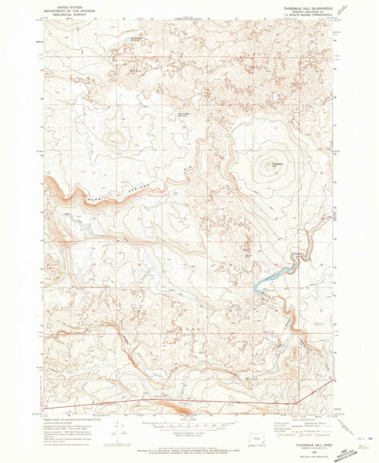
Historical USGS topographic quad map of Threemile Hill in the state of Oregon. Map scale may vary for some years, but is generally around 1:24,000. Print size is approximately 24" x 27"
This quadrangle is in the following counties: Malheur.
The map contains contour lines, roads, rivers, towns, and lakes. Printed on high-quality waterproof paper with UV fade-resistant inks, and shipped rolled.
Contains the following named places: Alkali Reservoir, Ancil Miller Ranch, Arock Diversion Dam, Dixons Rock, Dixons Rock Reservoir, Holdup Rock, Lequerica Trap, Rock Creek, Saddle Butte Reservoir, South Side Canal, Threemile Hill, White Ranch