MyTopo
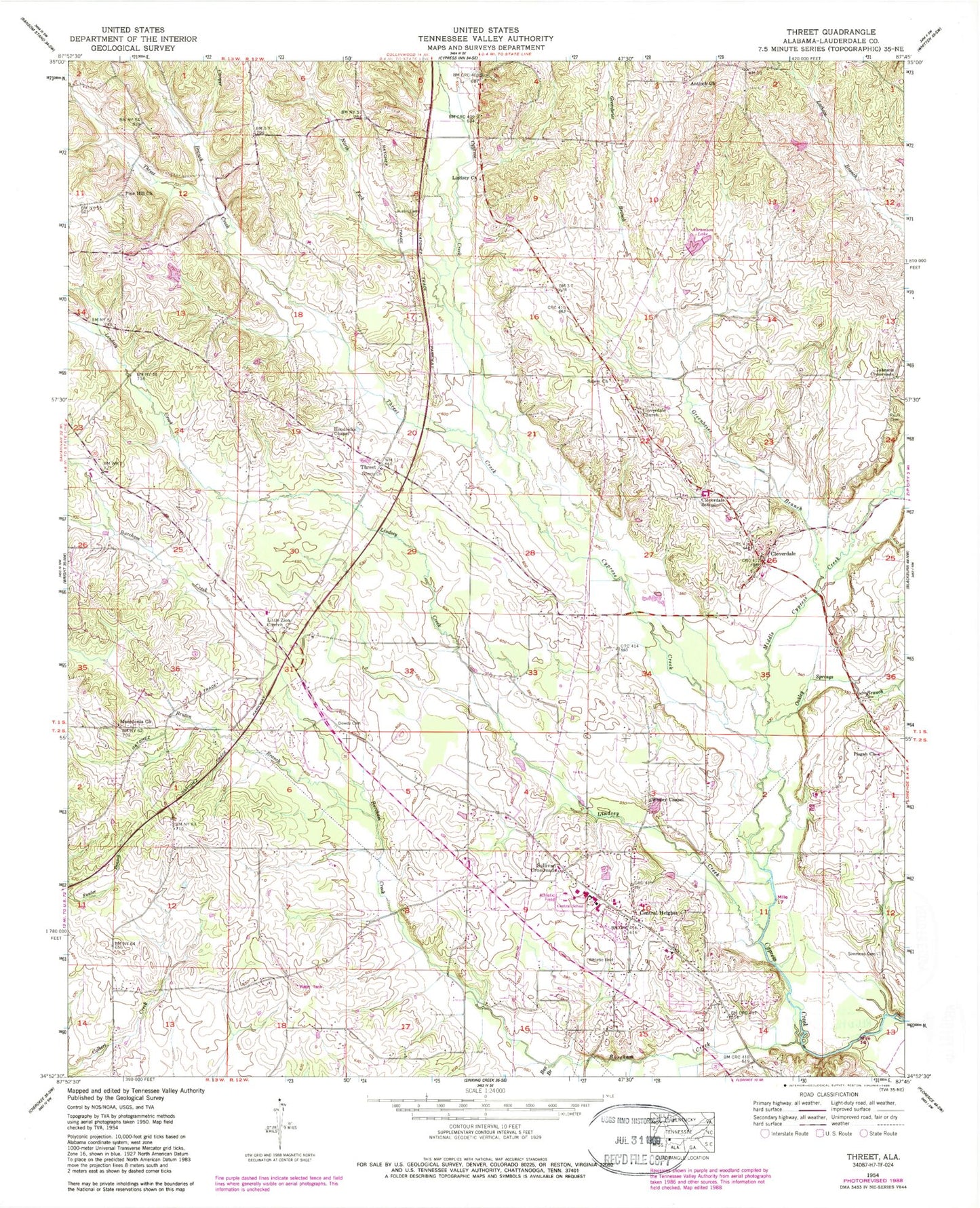
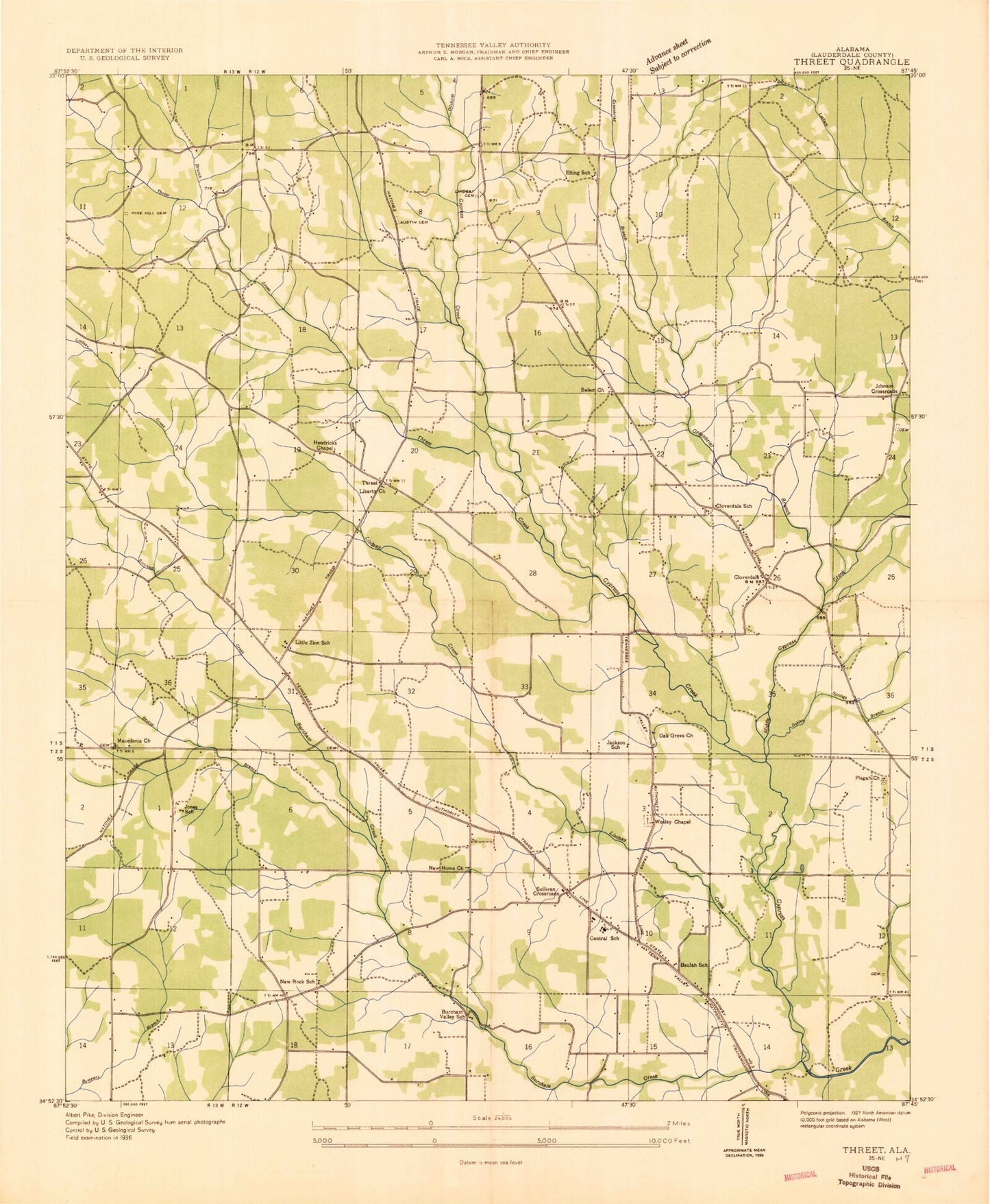
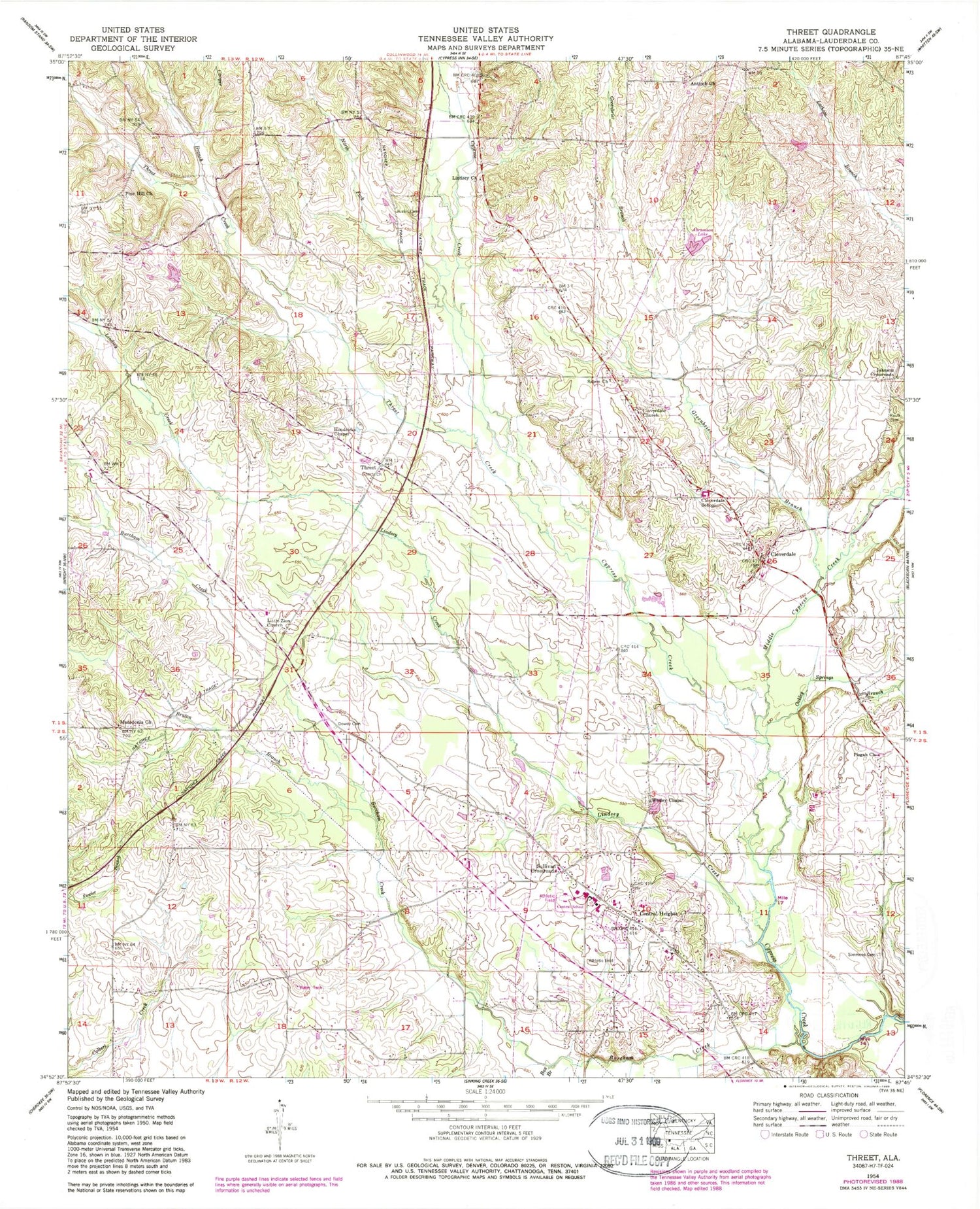
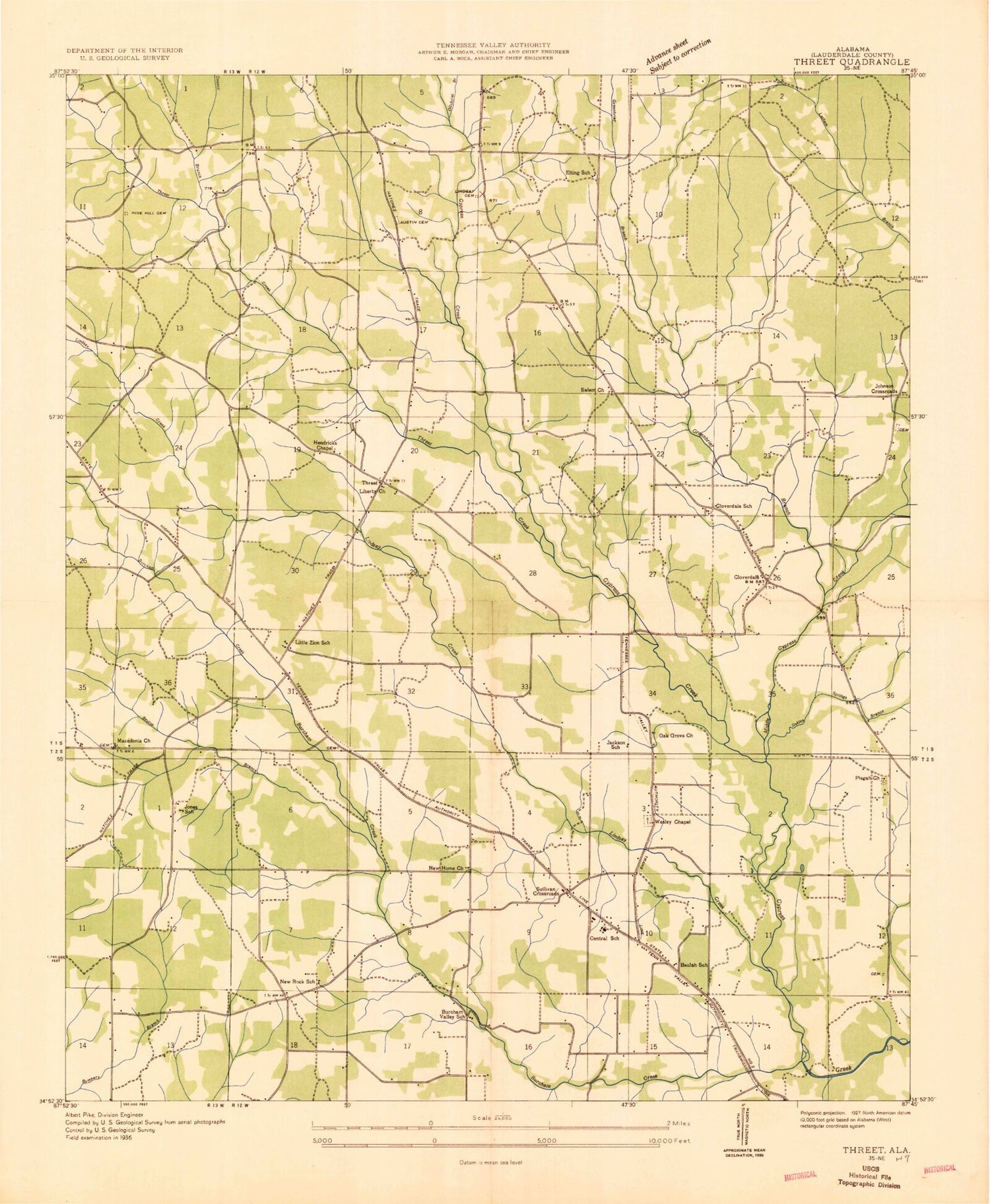
Classic USGS Threet Alabama 7.5'x7.5' Topo Map
Couldn't load pickup availability
Historical USGS topographic quad map of Threet in the state of Alabama. Map scale may vary for some years, but is generally around 1:24,000. Print size is approximately 24" x 27"
This quadrangle is in the following counties: Lauderdale.
The map contains contour lines, roads, rivers, towns, and lakes. Printed on high-quality waterproof paper with UV fade-resistant inks, and shipped rolled.
Contains the following named places: Abramson Lake, Antioch Church, Austin Cemetery, Beulah School, Big Cypress Baptist Church, Birchum Post Office, Box Branch, Bruton Branch, Burcham Creek, Burcham Mills, Burcham Mills Post Office, Bureham Valley School, Central Fire and Rescue, Central Heights, Central Heights Baptist Church, Central Heights Church of Christ, Central Heights United Methodist Church, Central School, Cloverdale, Cloverdale Church, Cloverdale Division, Cloverdale Junior High School, Cloverdale Post Office, Cloverdale School, Cloverdale Volunteer Fire Department Station 1, Cloverdale Volunteer Fire Department Station 2, Cooper Branch, Dowdy Cemetery, Elting School, Emmett Abramson Lake Dam, Greenbrier Branch, Hendrix Chapel Church of Christ, Hurricane Creek, Jackson School, Johnson Crossroads, Johnsons Crossroads Missionary Baptist Church, Jones School, Liberty Baptist Church, Liberty School, Lindsey Cemetery, Lindsey Creek, Lindseys Chapel Freewill Baptist Church of God, Little Zion Missionary Baptist Church, Macedonia Church of Christ, Macedonia School, Melvin, Middle Cypress Creek, New Home Baptist Church, New Rock School, North Fork Cypress Creek, Oak Grove Church, Oakley Springs Branch, Pine Hill Cemetery, Pine Hill Church of Christ, Pisgah First Methodist Church, Salem Church, Simmons Cemetery, State Line Free Holiness Church, Stewartsville Church of Christ, Stewartville, Sullivan Crossroads, Threet, Threet Creek, Threet School, Wesley Chapel United Methodist Church, Youngs Crossroads, ZIP Code: 35633


