MyTopo
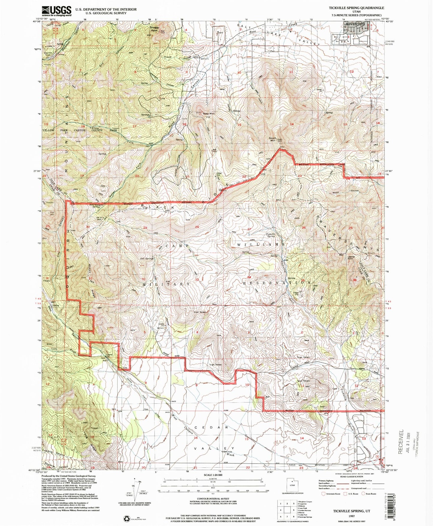
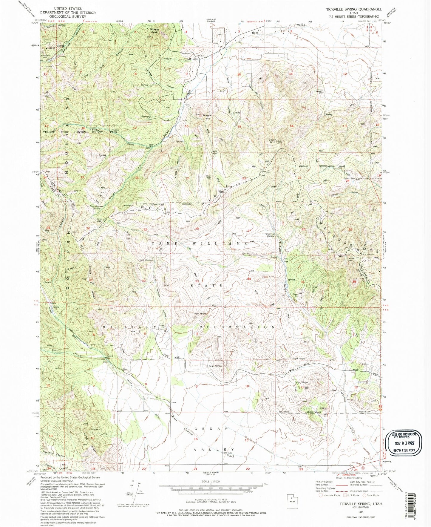
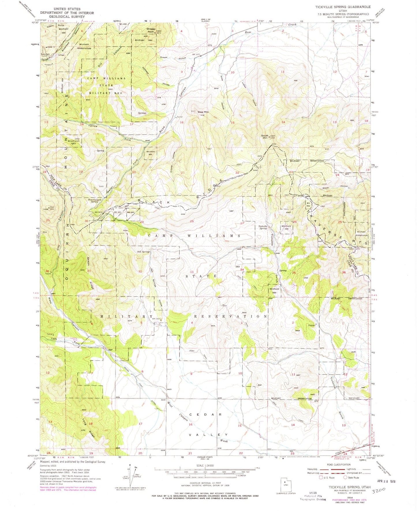
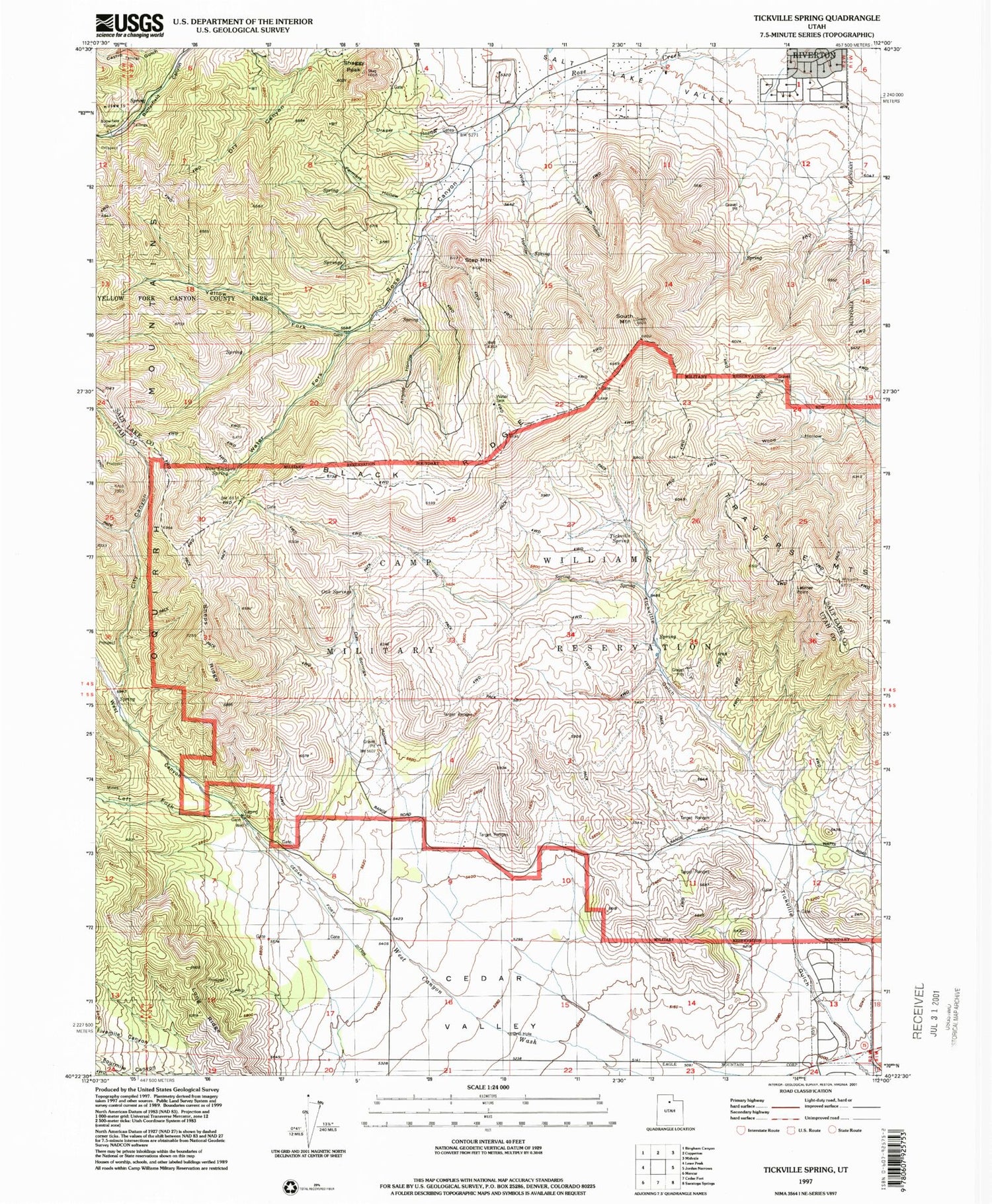
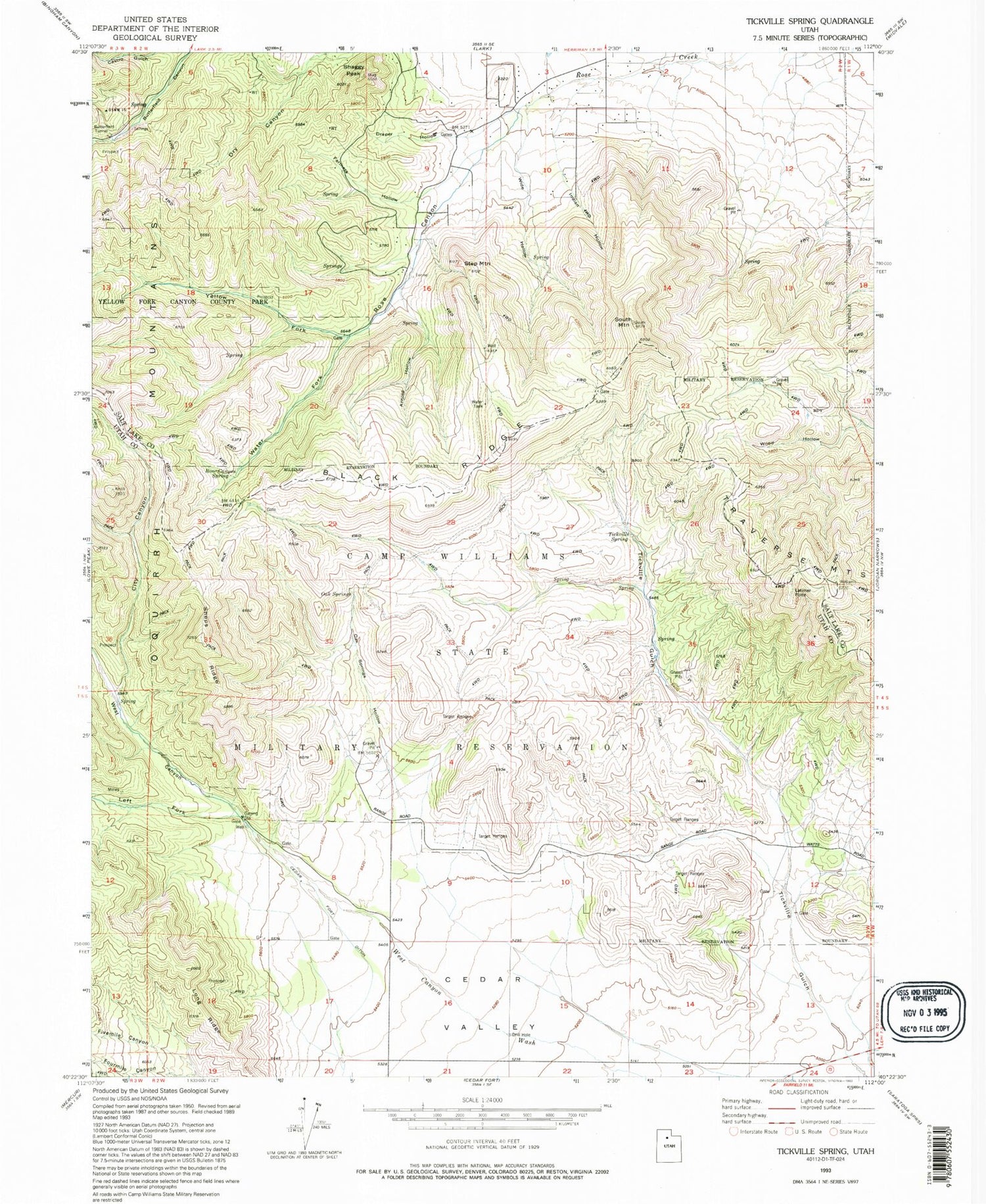
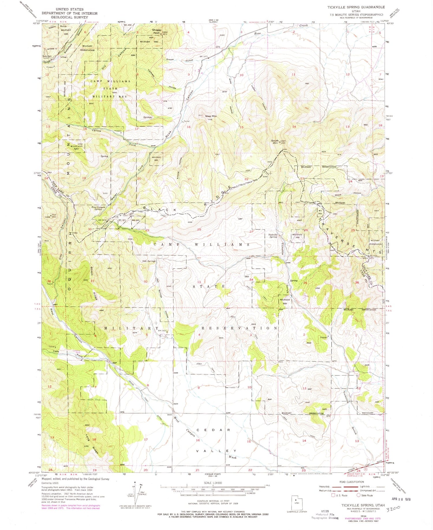
Classic USGS Tickville Spring Utah 7.5'x7.5' Topo Map
Couldn't load pickup availability
Historical USGS topographic quad map of Tickville Spring in the state of Utah. Map scale may vary for some years, but is generally around 1:24,000. Print size is approximately 24" x 27"
This quadrangle is in the following counties: Salt Lake, Utah.
The map contains contour lines, roads, rivers, towns, and lakes. Printed on high-quality waterproof paper with UV fade-resistant inks, and shipped rolled.
Contains the following named places: Arnold Hollow, Black Ridge, Butterfield Tunnel, Cedar Fort Ditch, Cedar Grove, Cedar Valley, City Canyon, City of Herriman, Draper Hollow, Farmers Hollow, Fivemile Canyon, Foothills, Fourmile Canyon, Indian Hollow, Latimer Point, Left Fork West Canyon, Long Ridge, Maneuver Training Area Camp Williams, Oak Springs, Oak Springs Hollow, Rose Canyon, Rose Canyon Spring, Shaggy Peak, Sheps Ridge, South Mountain, Step Mountain, Tickville Spring, Unified Fire Department Fire Station 123 - Rosecrest, Water Fork, West Canyon, Wide Hollow, Willow Patch, Yellow Fork, Yellow Fork Canyon County Park
