MyTopo
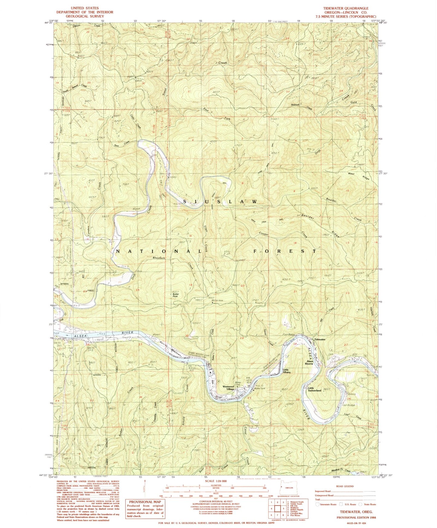
Classic USGS Tidewater Oregon 7.5'x7.5' Topo Map
Couldn't load pickup availability
Historical USGS topographic quad map of Tidewater in the state of Oregon. Typical map scale is 1:24,000, but may vary for certain years, if available. Print size: 24" x 27"
This quadrangle is in the following counties: Lincoln.
The map contains contour lines, roads, rivers, towns, and lakes. Printed on high-quality waterproof paper with UV fade-resistant inks, and shipped rolled.
Contains the following named places: Westwood Village, Boulder Ridge, Arnold Creek, Bain Slough, Bear Creek, Bear Creek, Boulder Creek, Butler Peak, Canal Creek, Cedar Creek, Cougar Creek, Little Southworth Creek, Southworth Creek, Drift Creek Shelter, East Fork Trout Creek, Ellen Creek, Fivemile Shelter, Gold Creek, Hatchery Creek, Lyndon Creek, Mill Creek, Oxstable Creek, Risley Creek, Slickrock Creek, Squaw Creek, Sudan Creek, Threemile Shelter, Tidewater, Trout Creek, Wheelock Creek, Tidewater Cemetery, Barclay Meadows, Little Switzerland, Little Albany, Alsea Rivera, Line Creek, Linville (historical), Drift Creek Wilderness, Butler Ridge, Drift Creek, Drift Creek Post Office (historical), Linville Post Office (historical), Tidewater Post Office, Siuslaw National Forest, Waldport Division, Central Oregon Coast Fire and Rescue District 7 Station 7300, Happy Landing RV Park and Marina, Oakland's Fish Camp Boat Launch, Taylor's Landing Boat Ramp, Happy Landing RV Park and Marina, Taylors Landing


